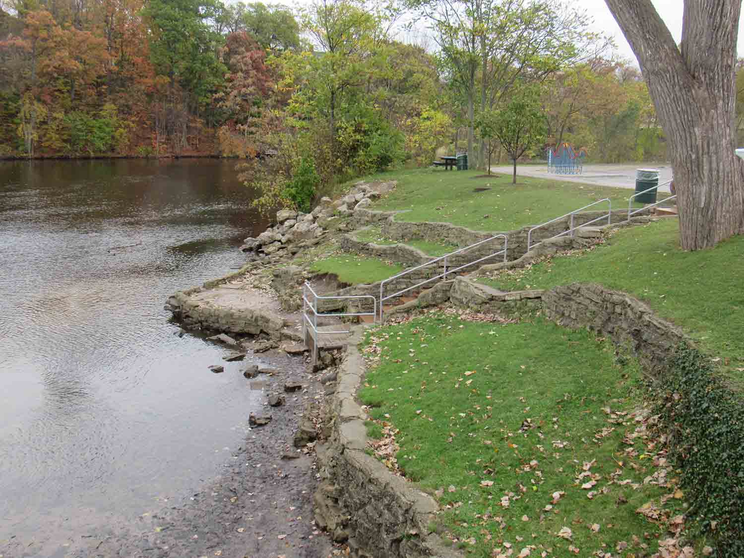
Trail Segments

-
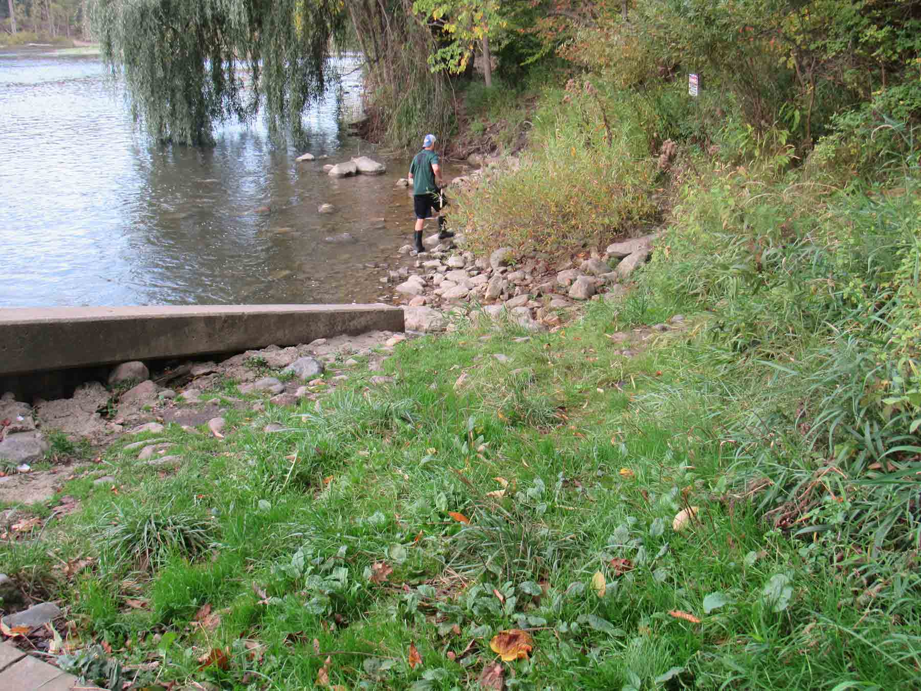
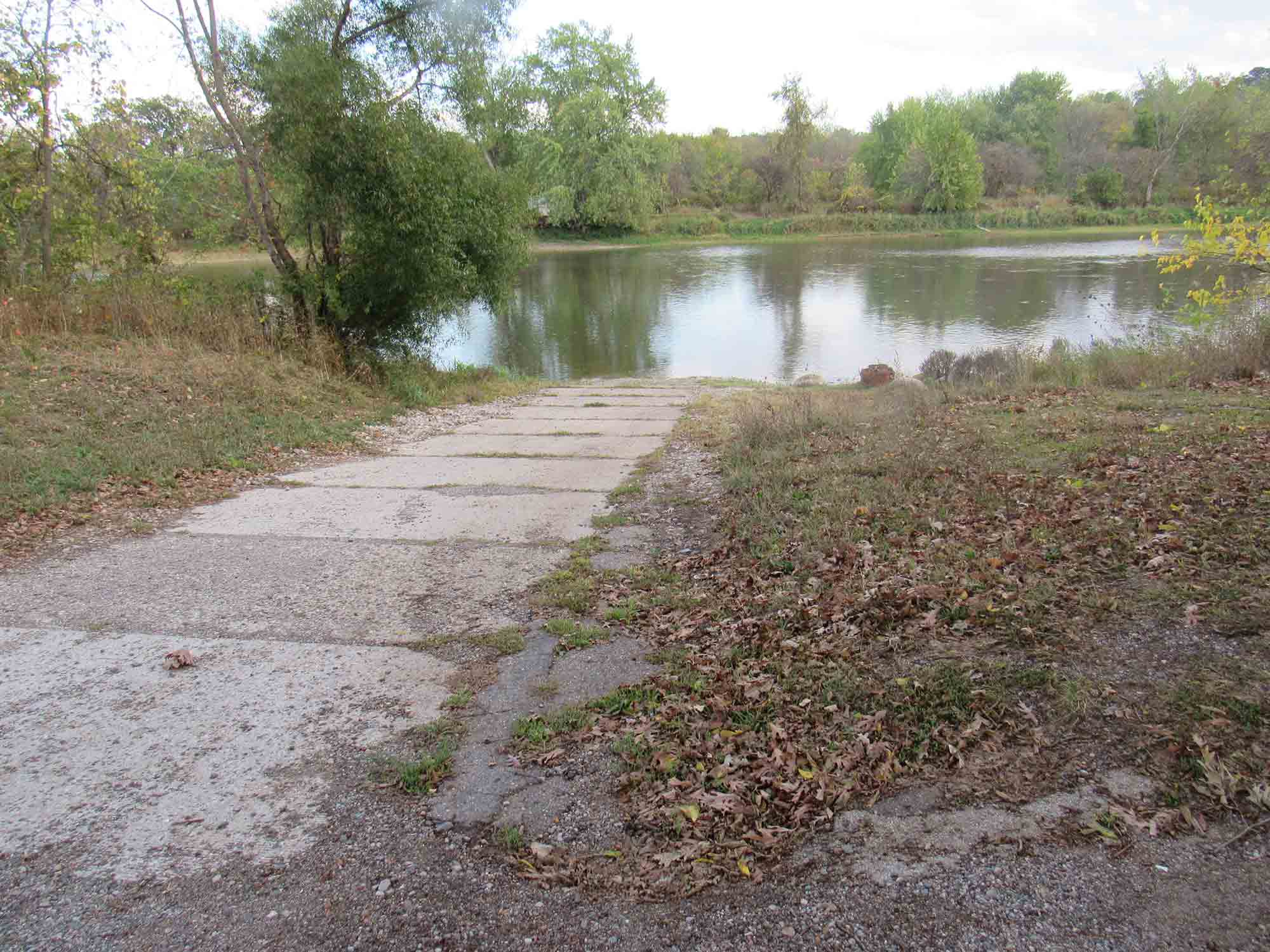
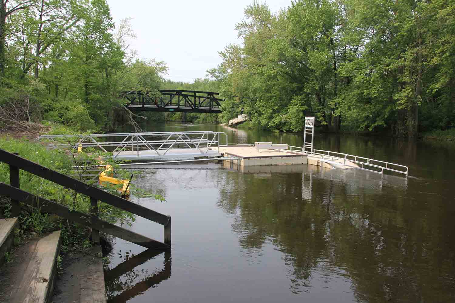
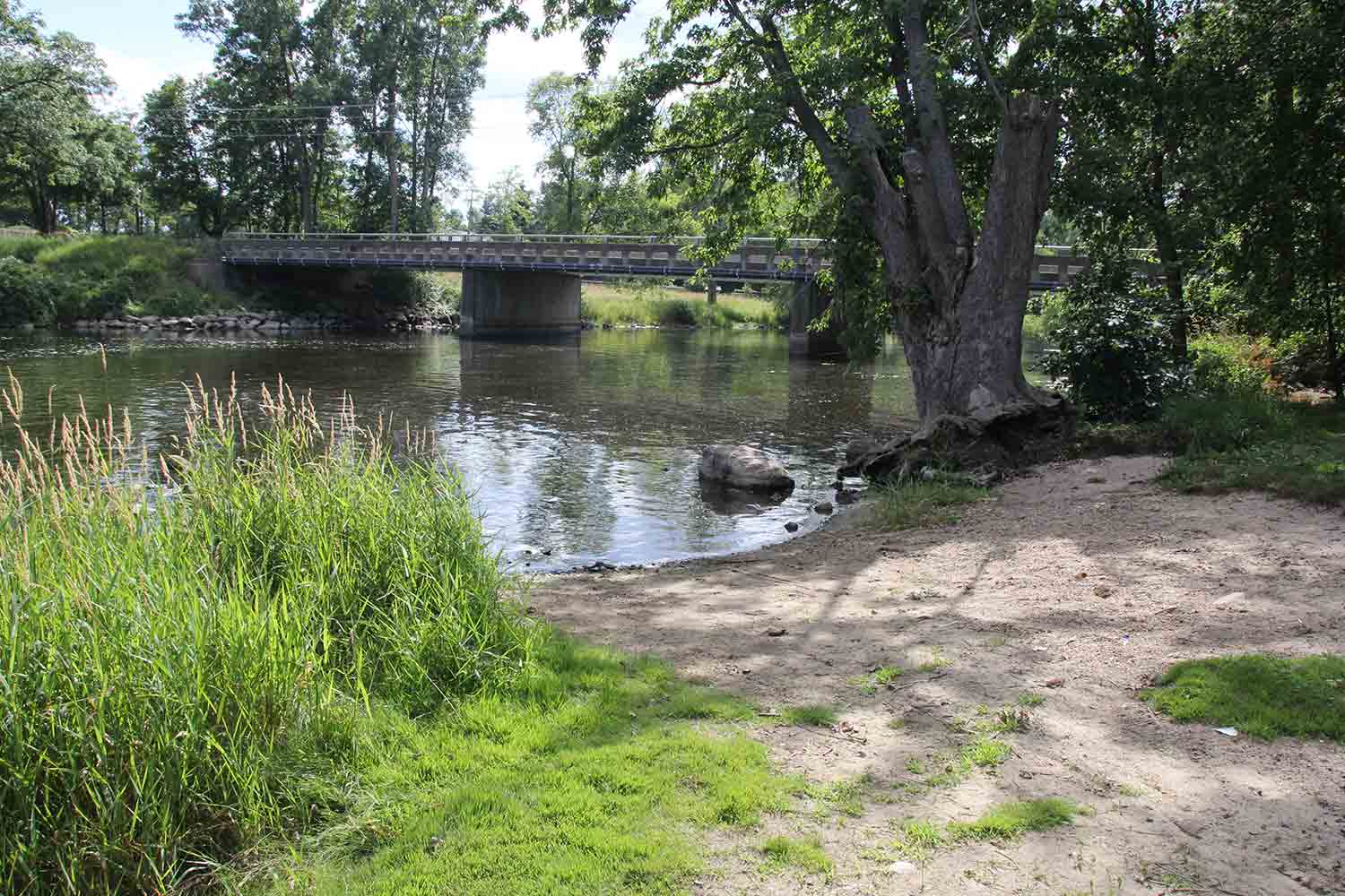
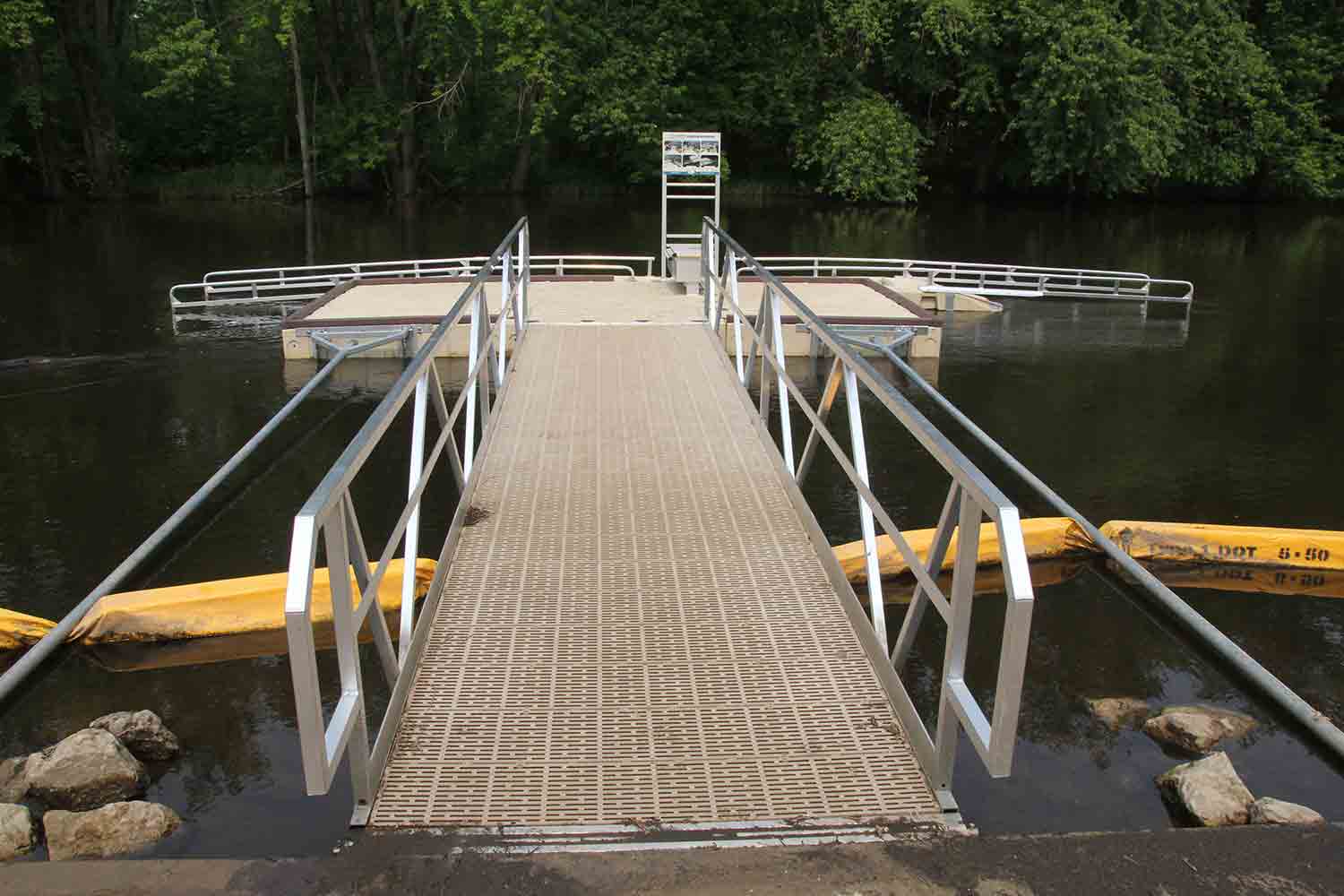
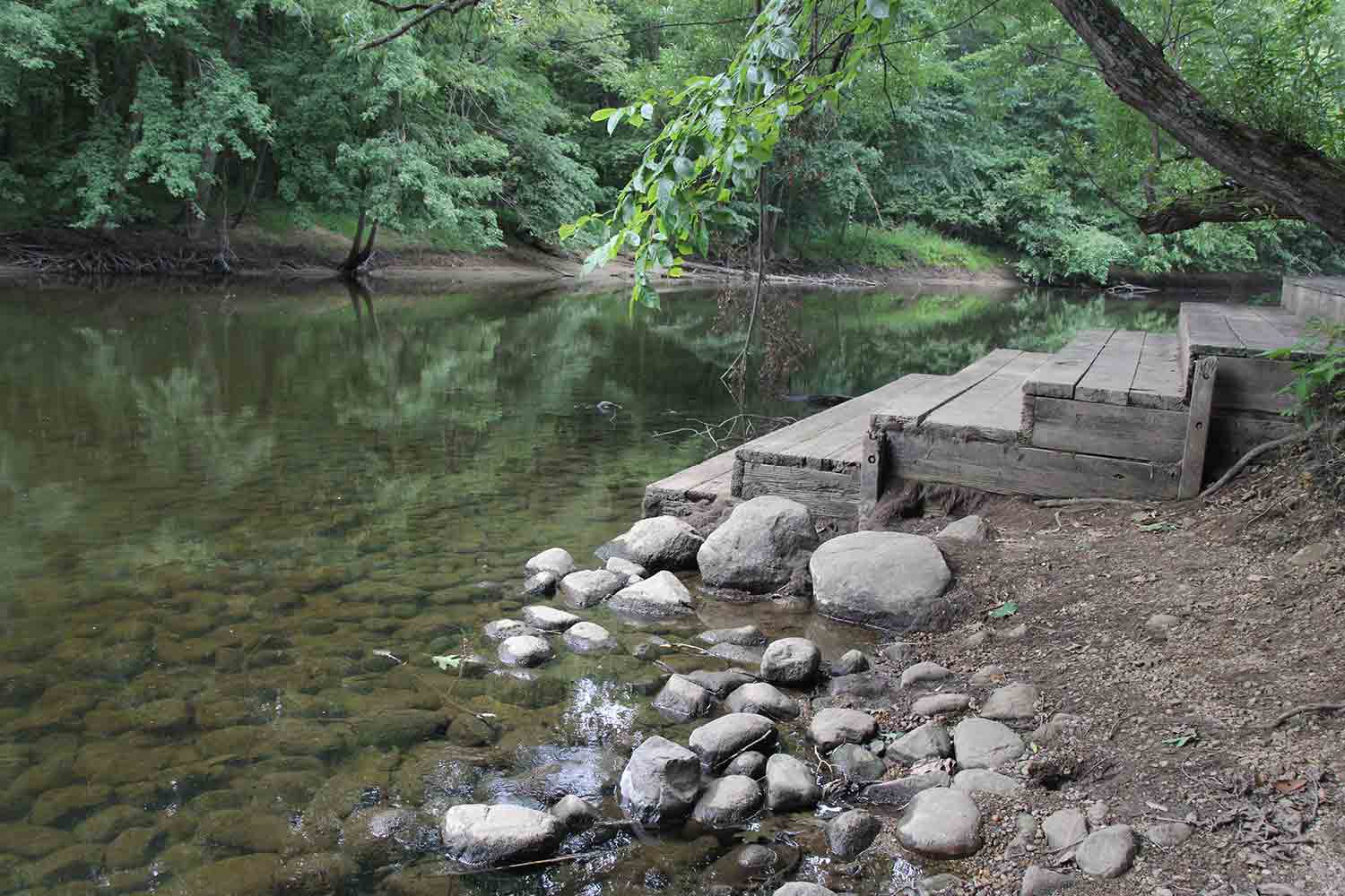
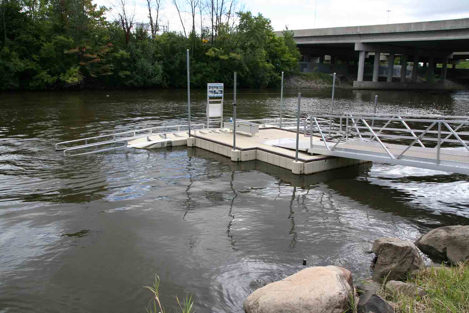
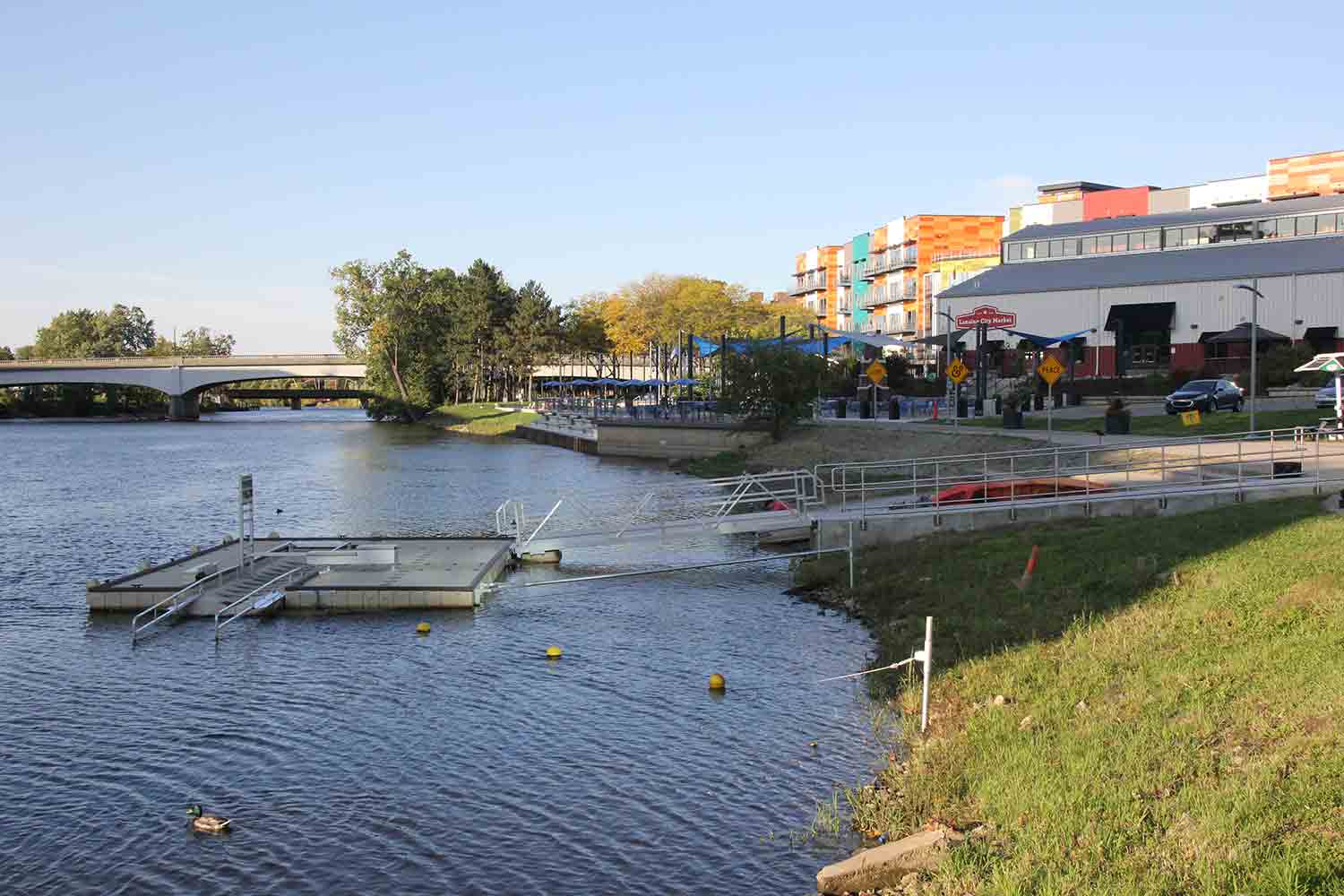
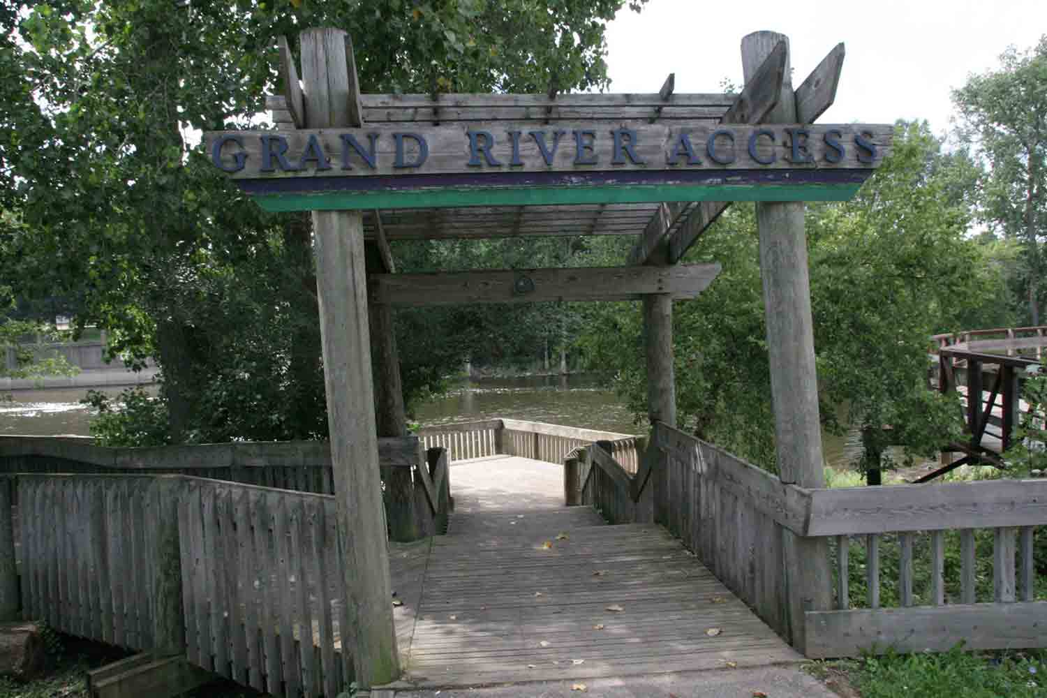
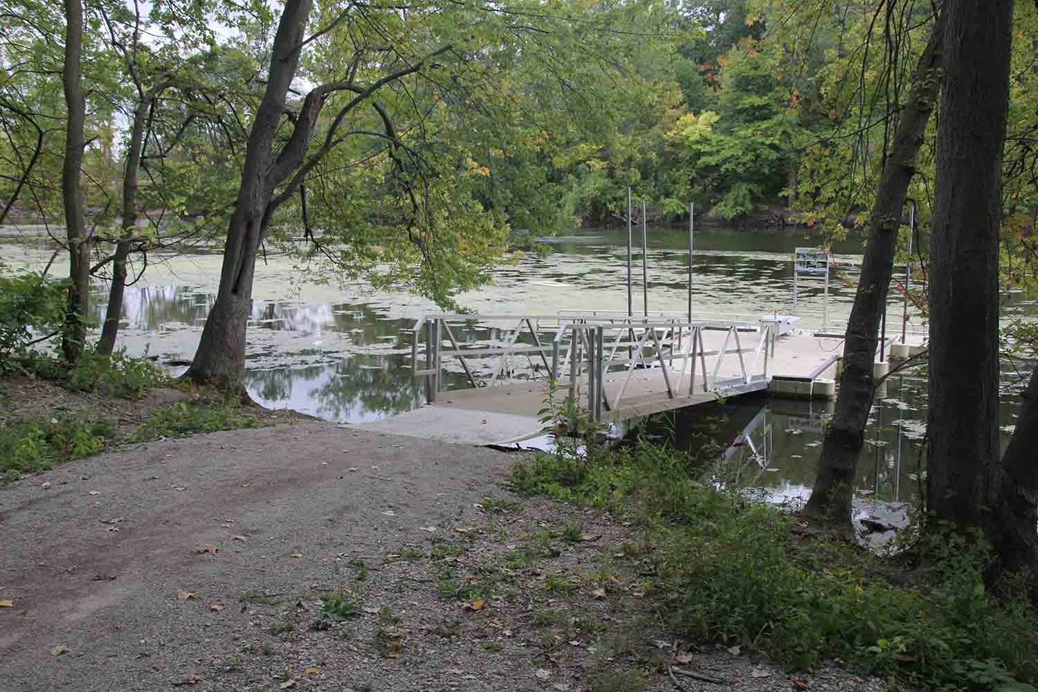
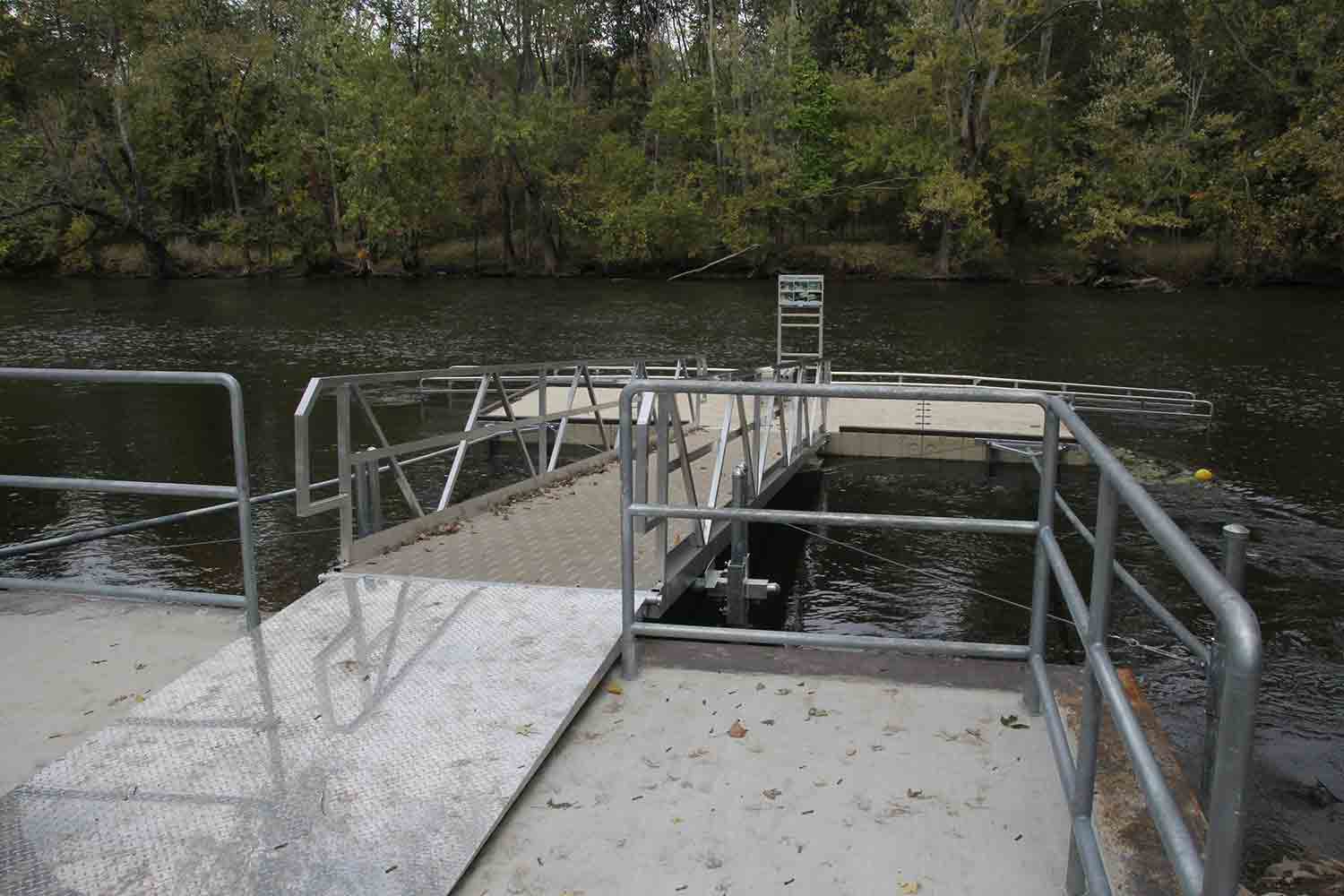
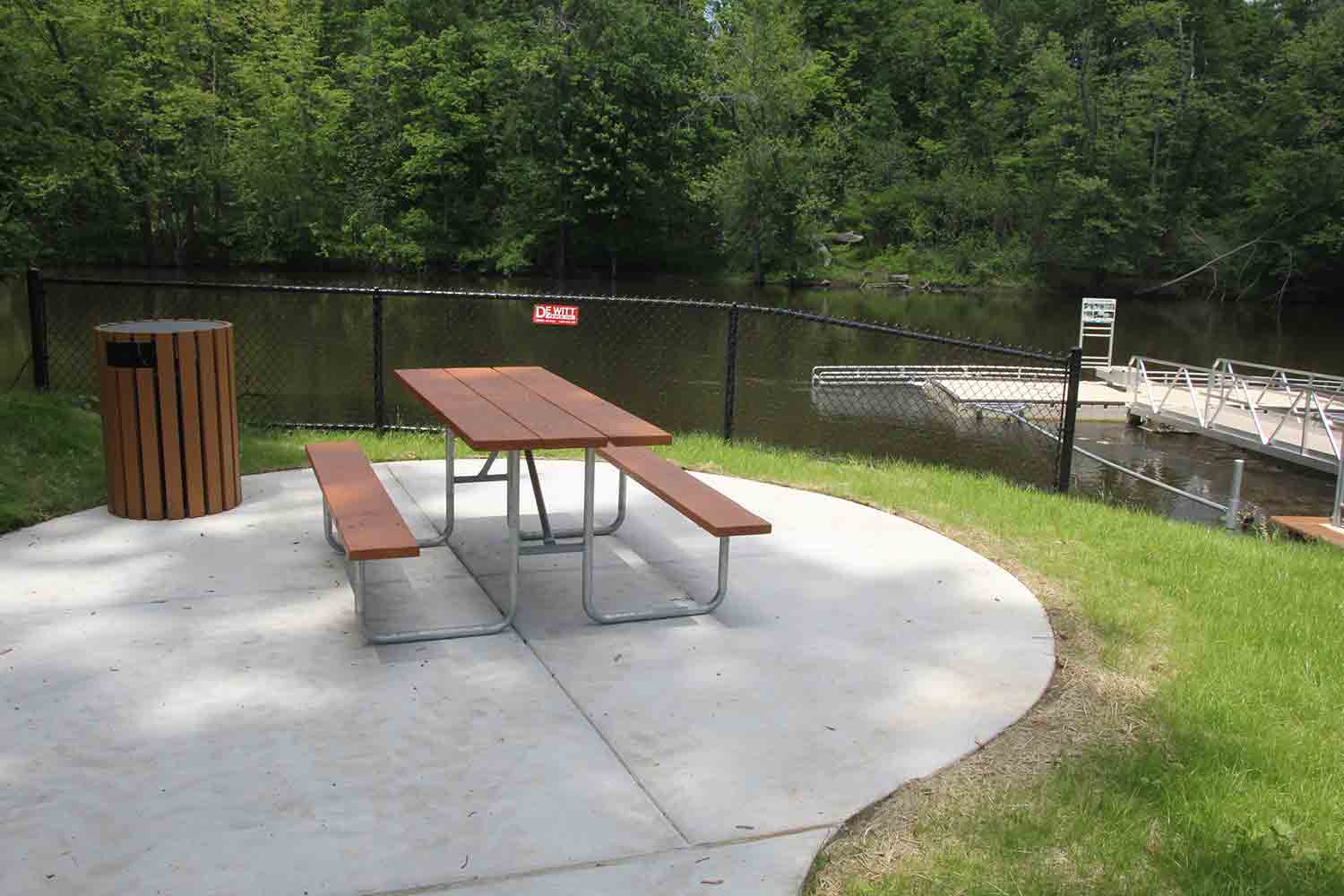
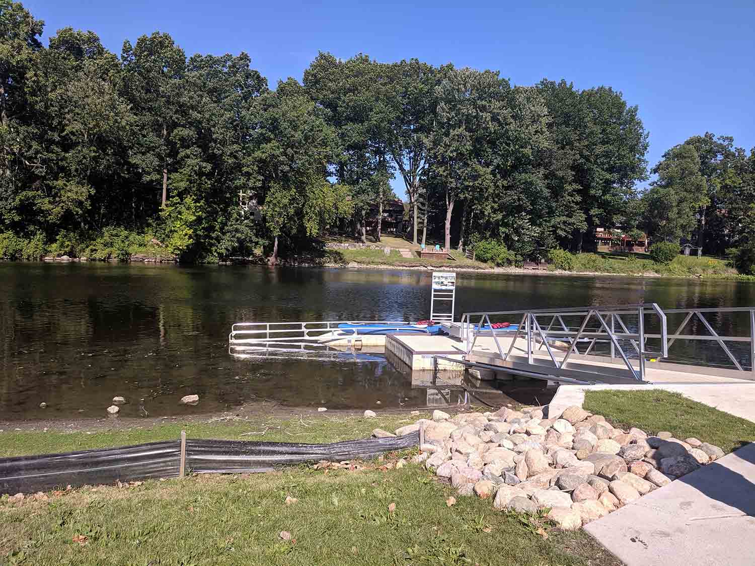
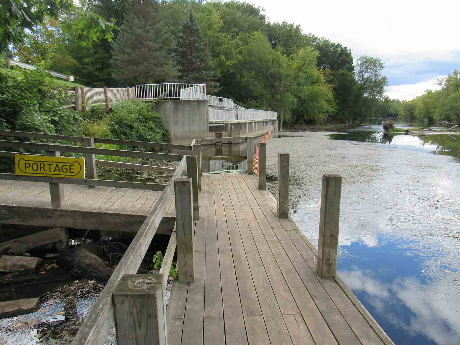
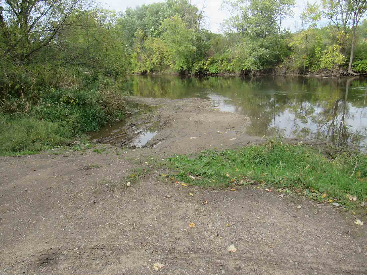
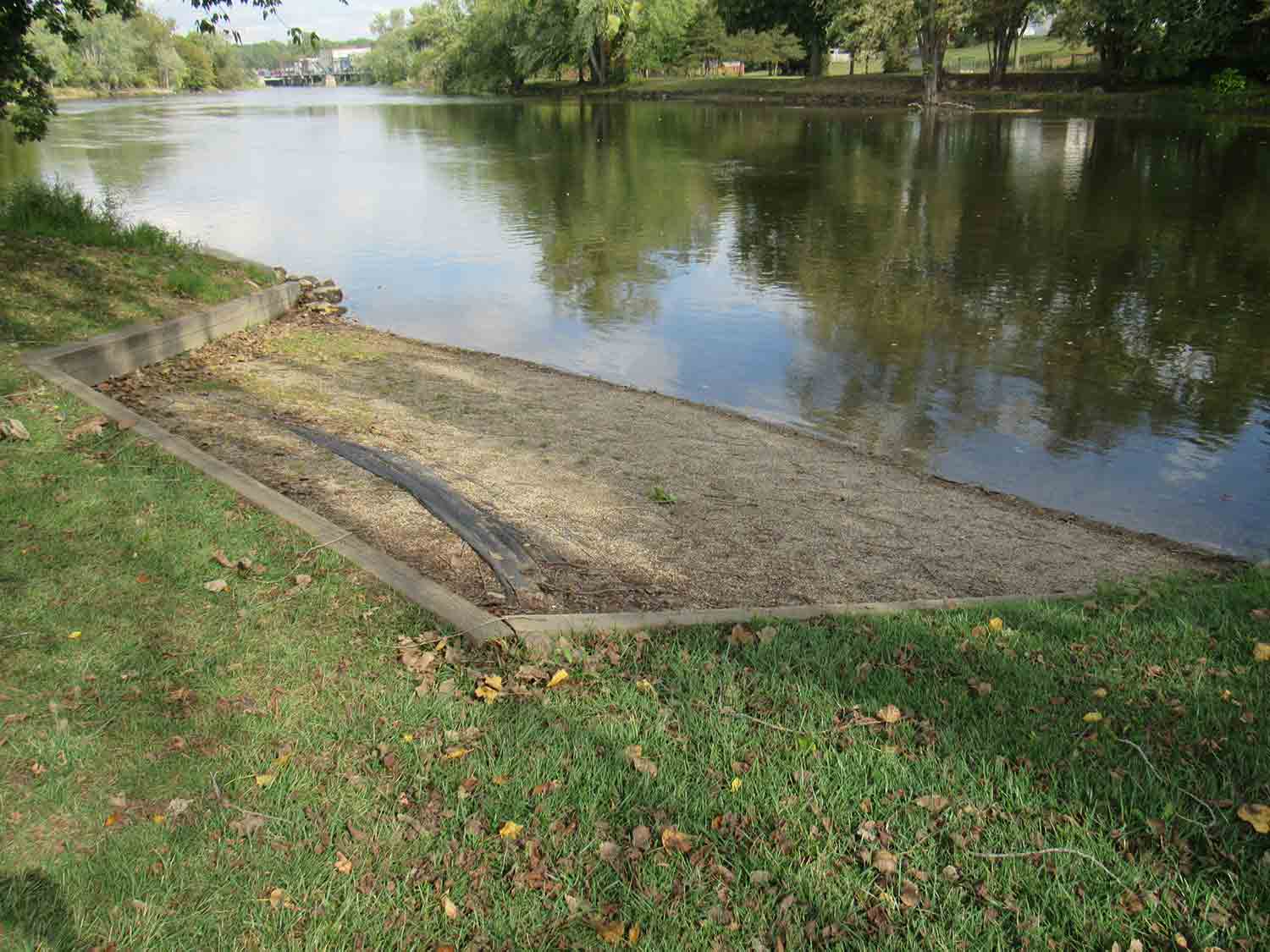
 Personal Watercraft Access
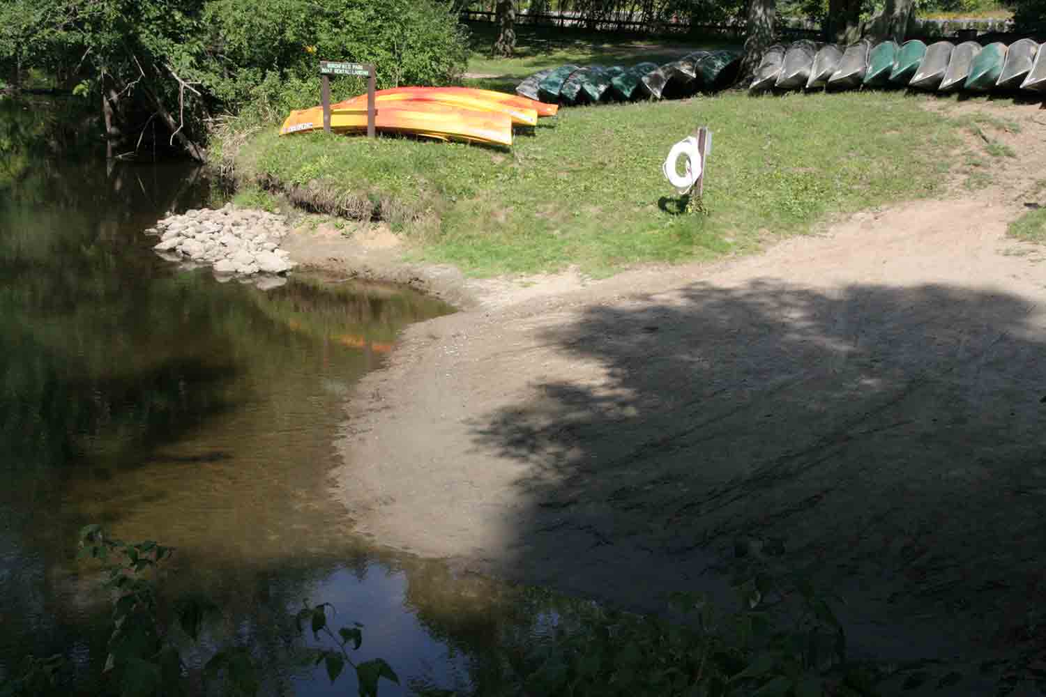
-
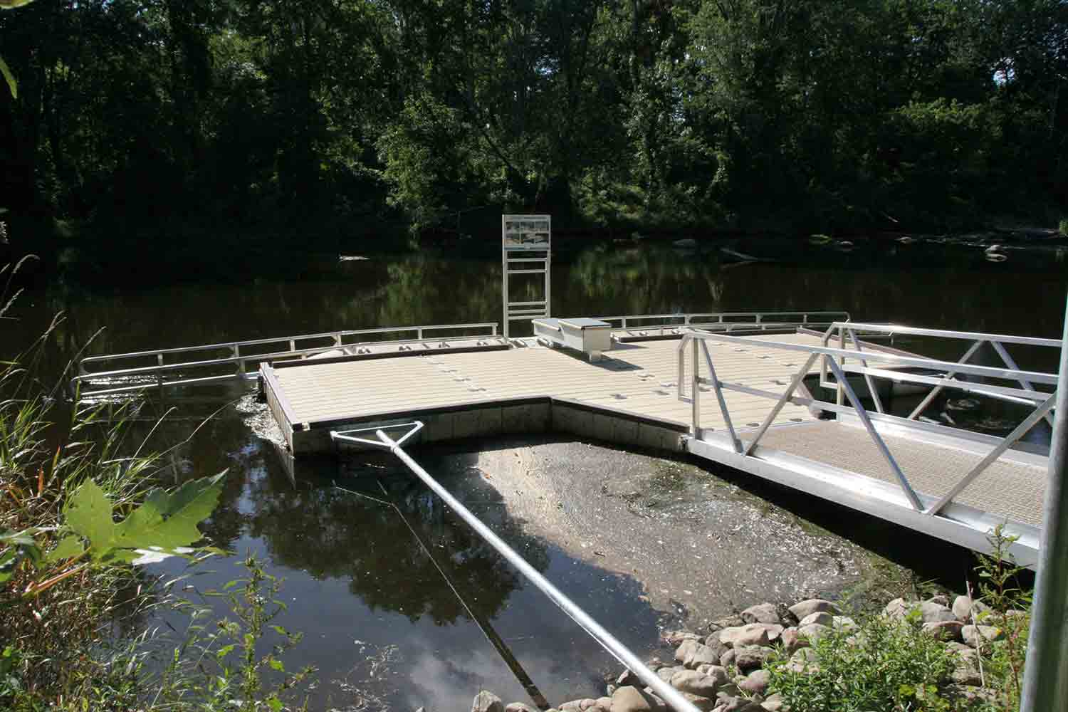
Personal Watercraft Access
-
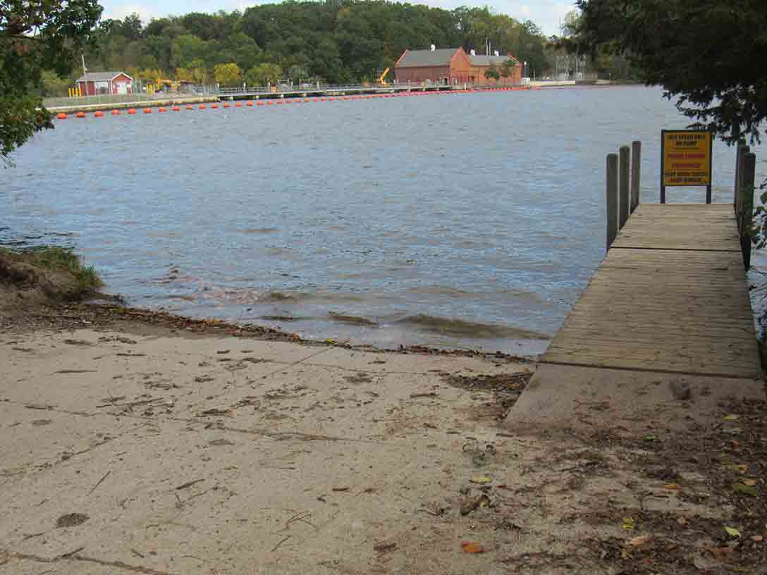
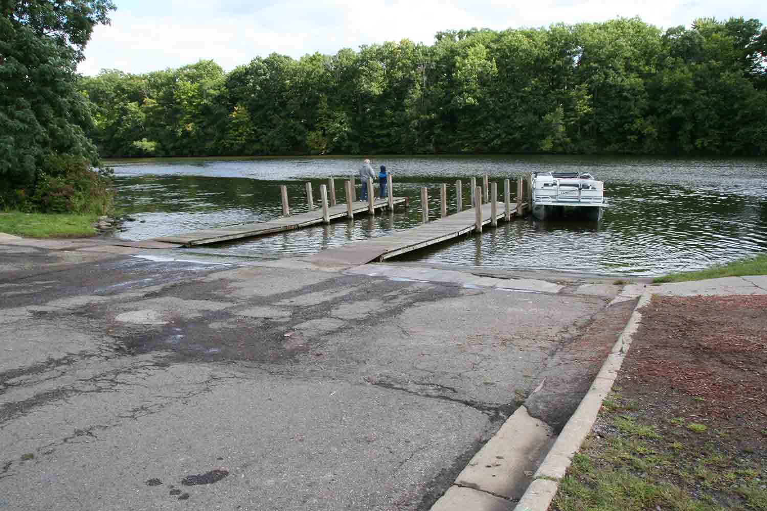
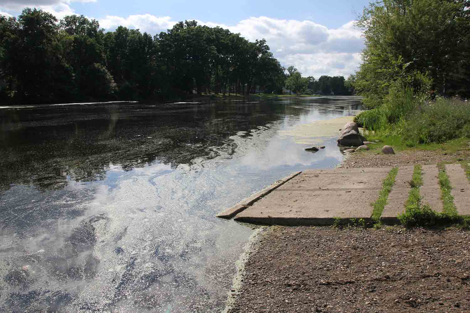
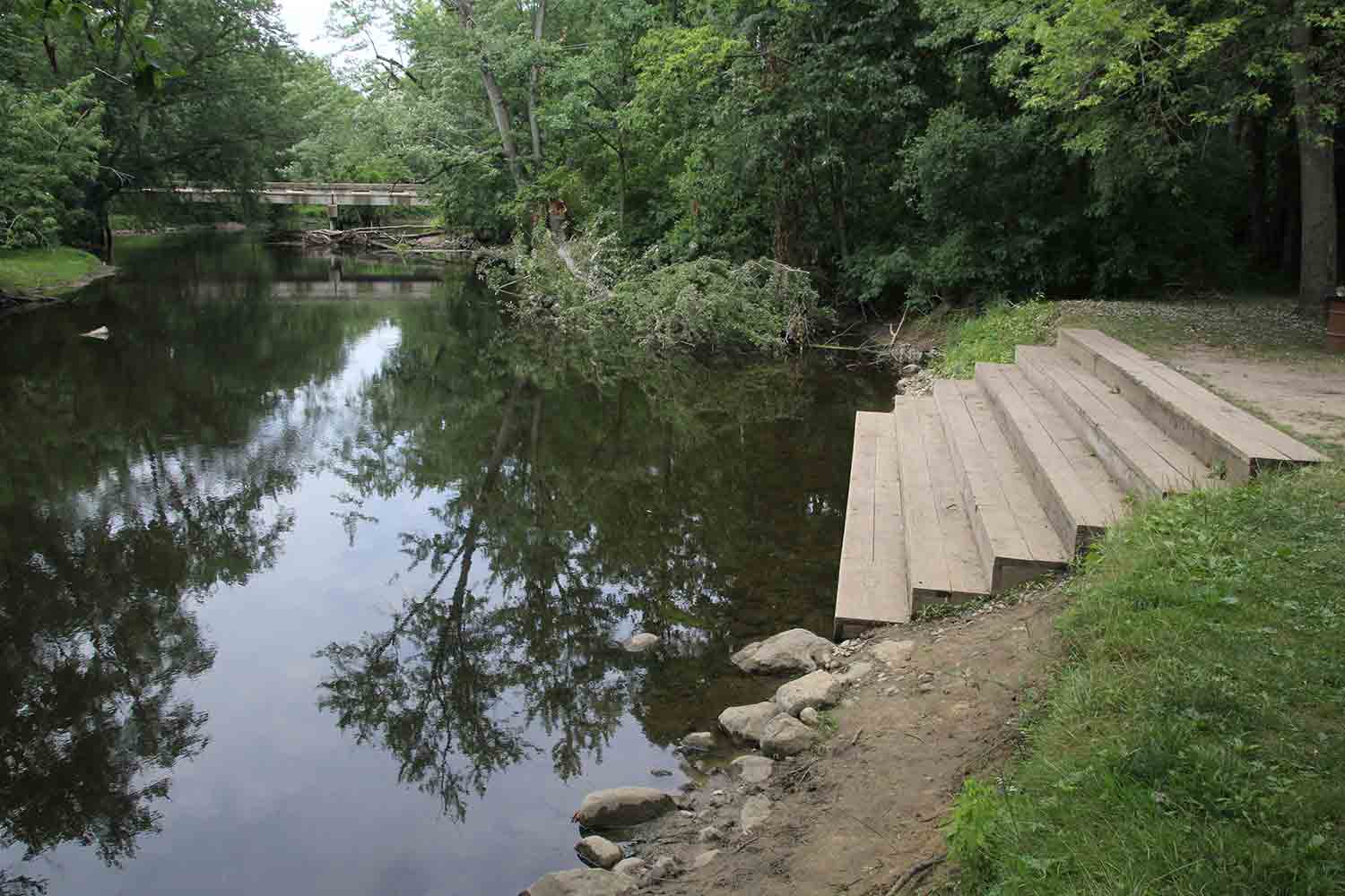
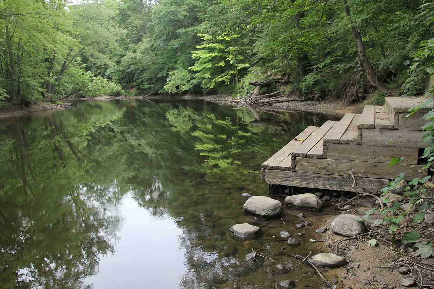
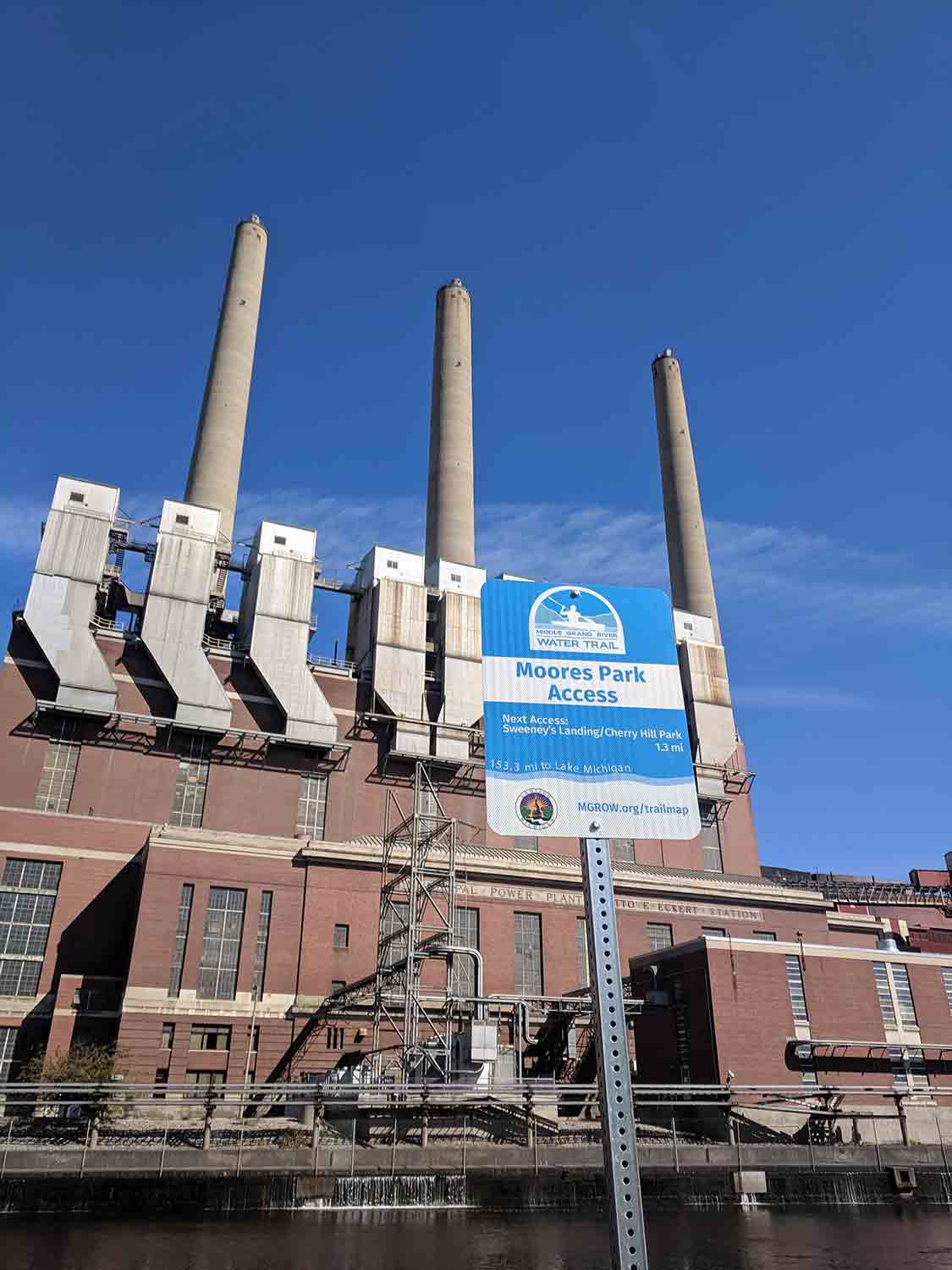
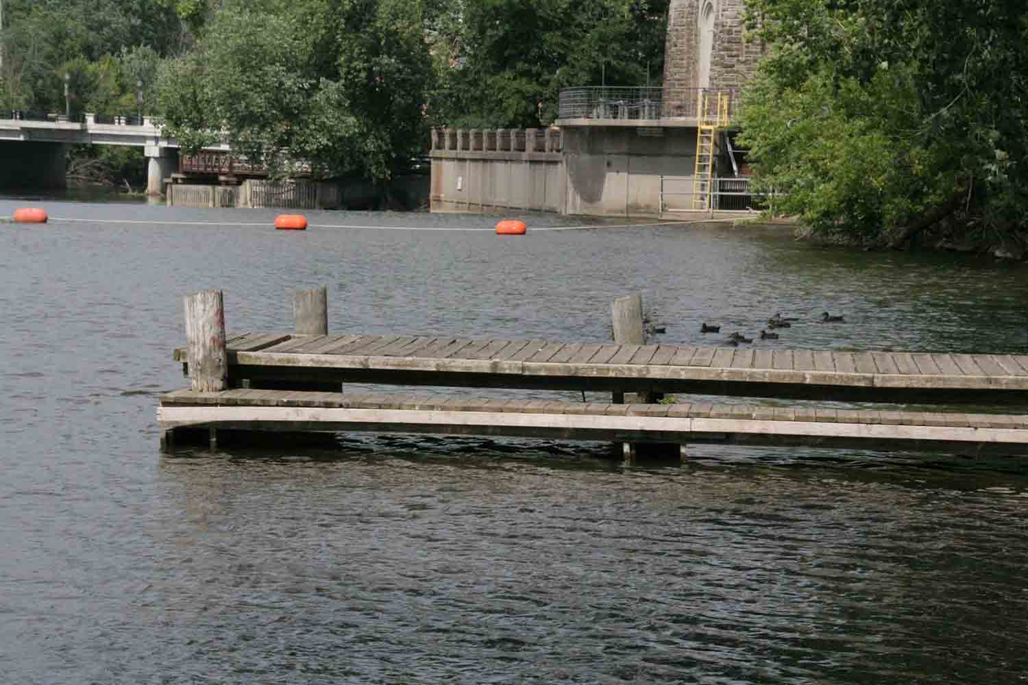
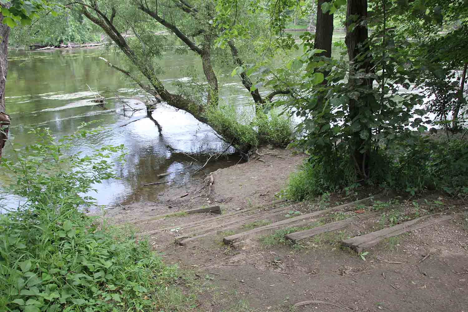
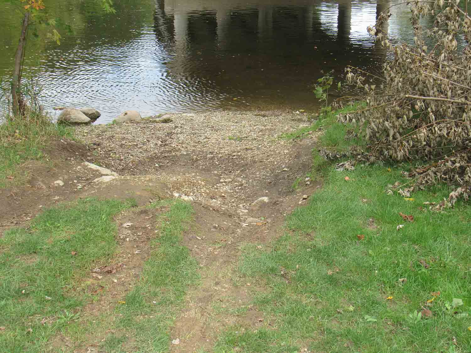
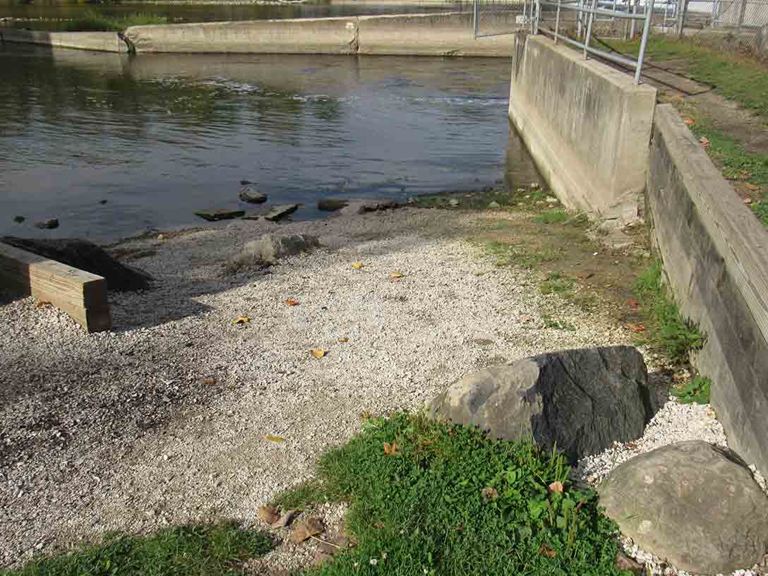
 Boat Ramp