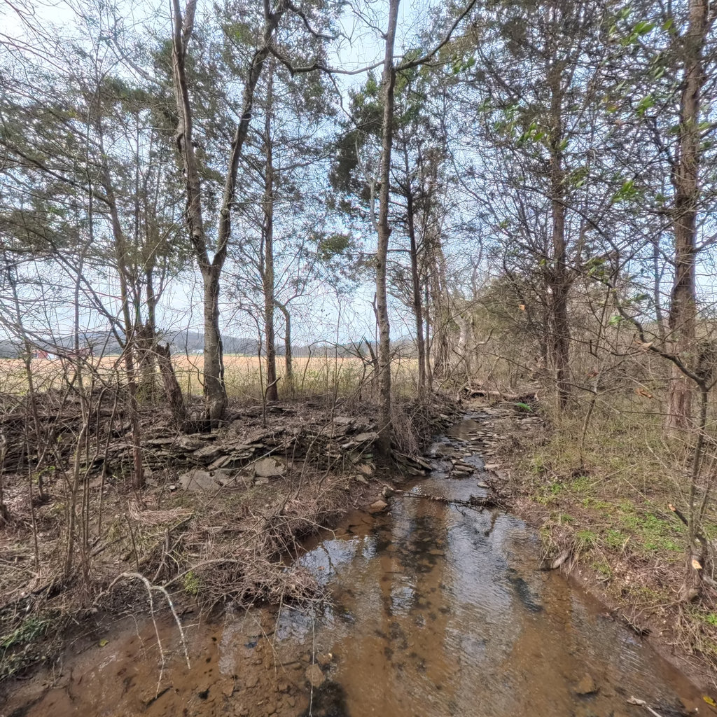
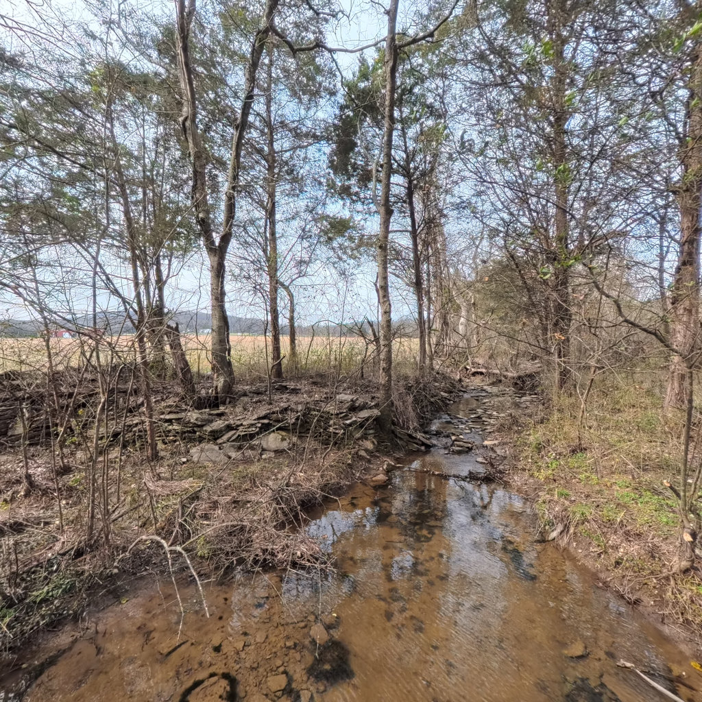
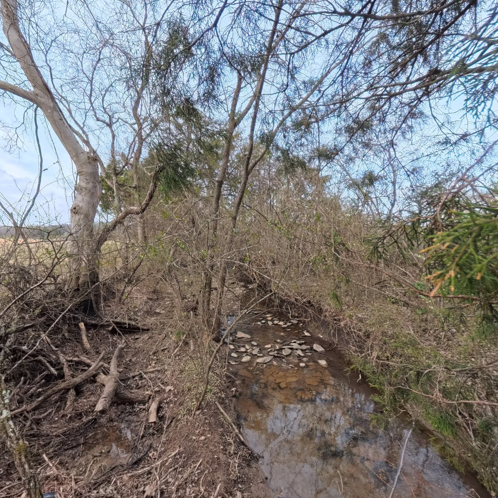
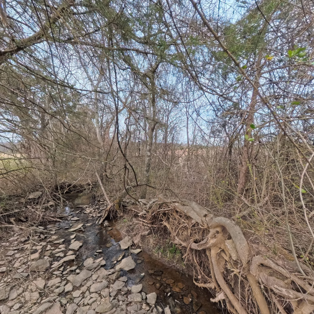
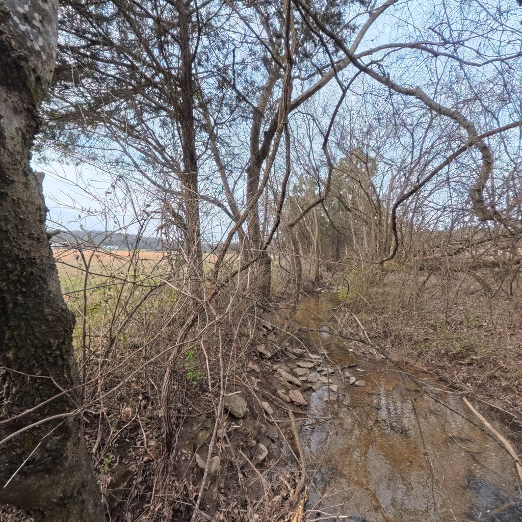
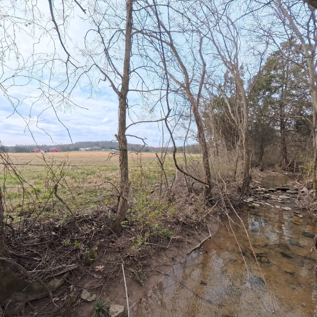
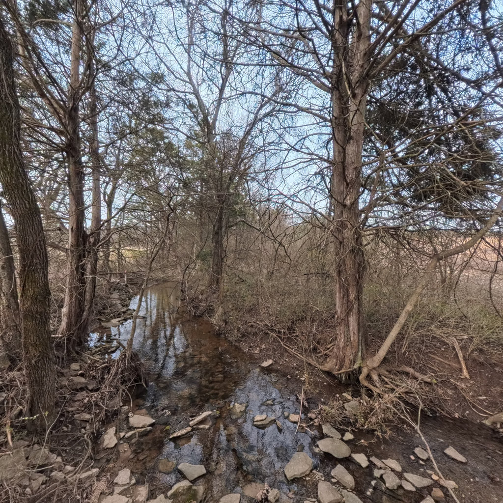
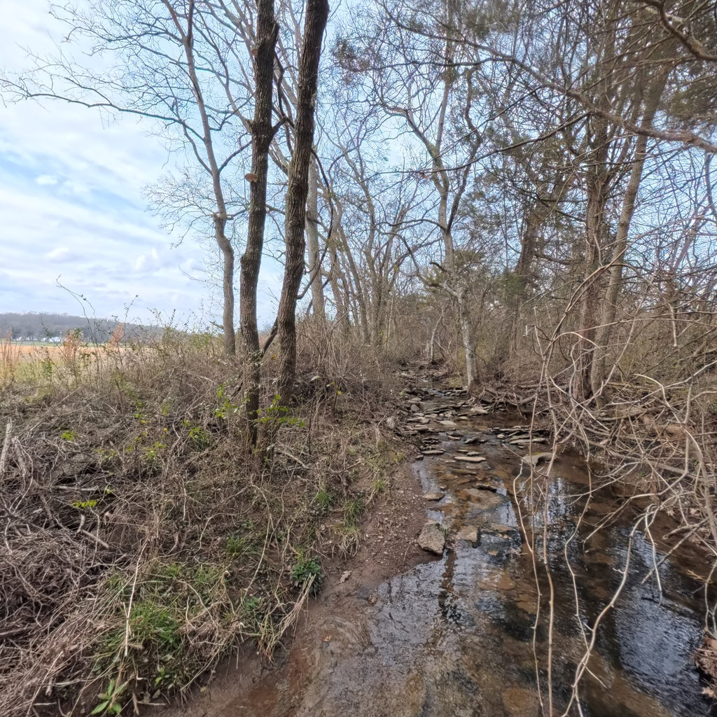
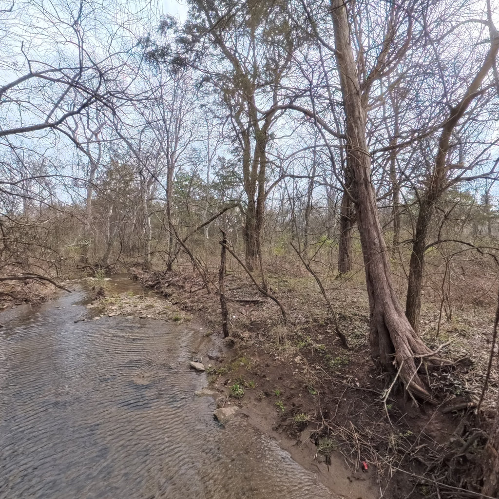
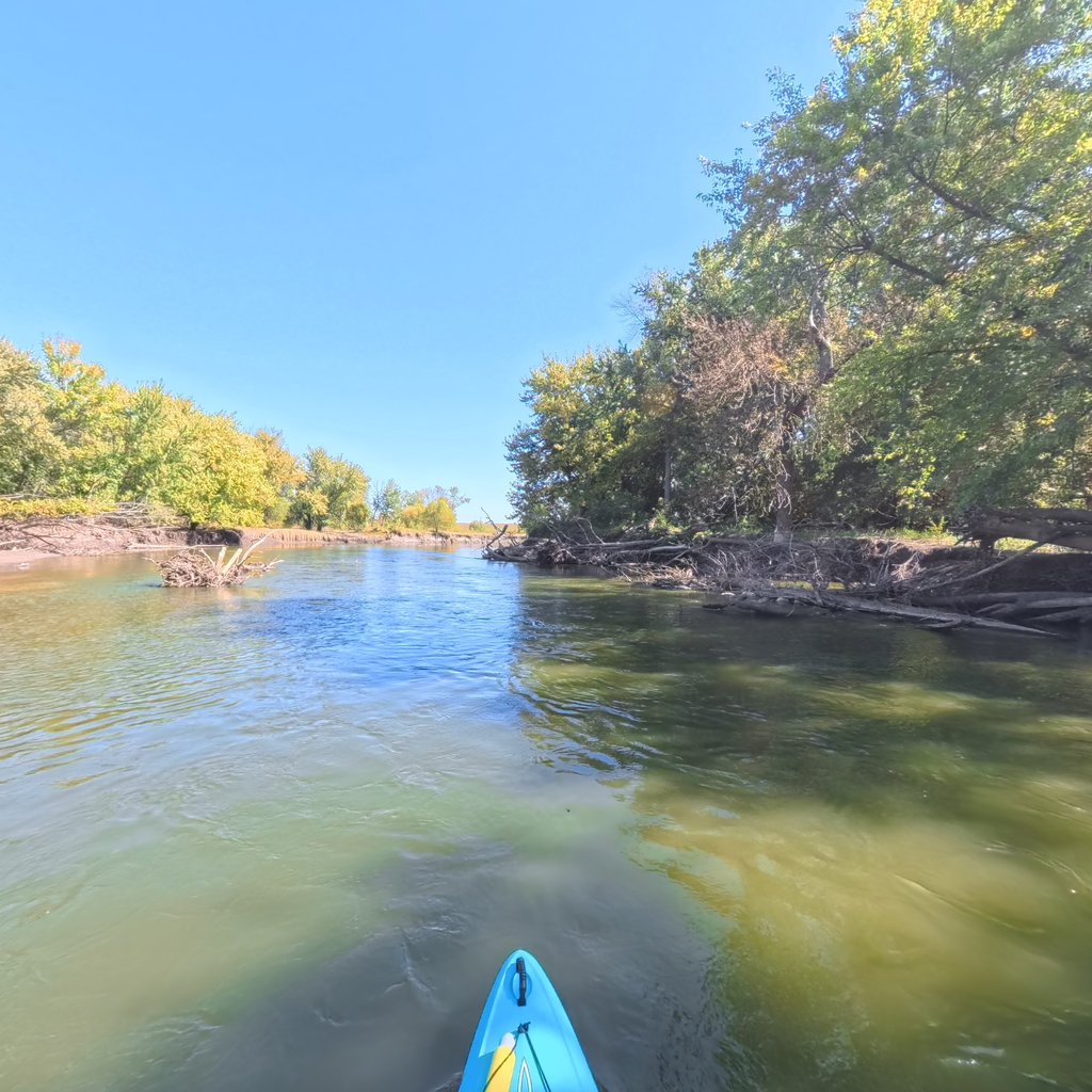
Down the river, along the trail, into the sanctuary: we capture the country's wild and working lands at eye level, then turn the science behind them into a map the public can actually walk through. Built for the agencies and groups who protect these places.
Every project starts with the same thing, real places captured in survey-grade 360°. What gets built on that foundation is where it gets interesting.
Wander the public library in immersive 360°. Free, no account, no gear.
Browse the library →Realtime water levels, weather, trip planning, and assets, bespoke maps built on your corridor.
See the maps →Vision models read every scene and return a located, reviewable record with true compass bearings.
See how scenes are read →Pan across the country and drop straight into any collection or trail. The whole public library, end to end.
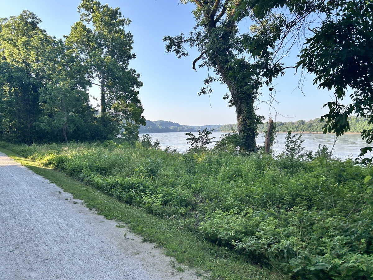

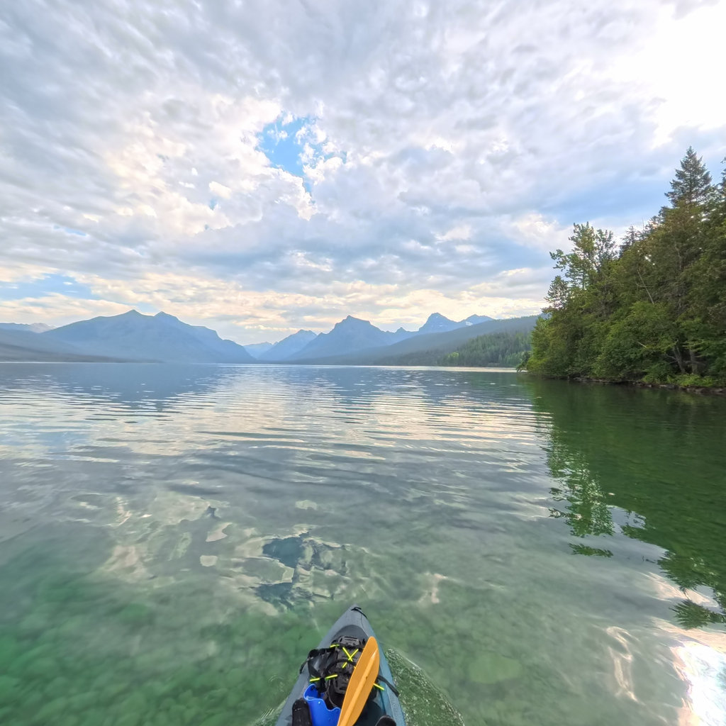
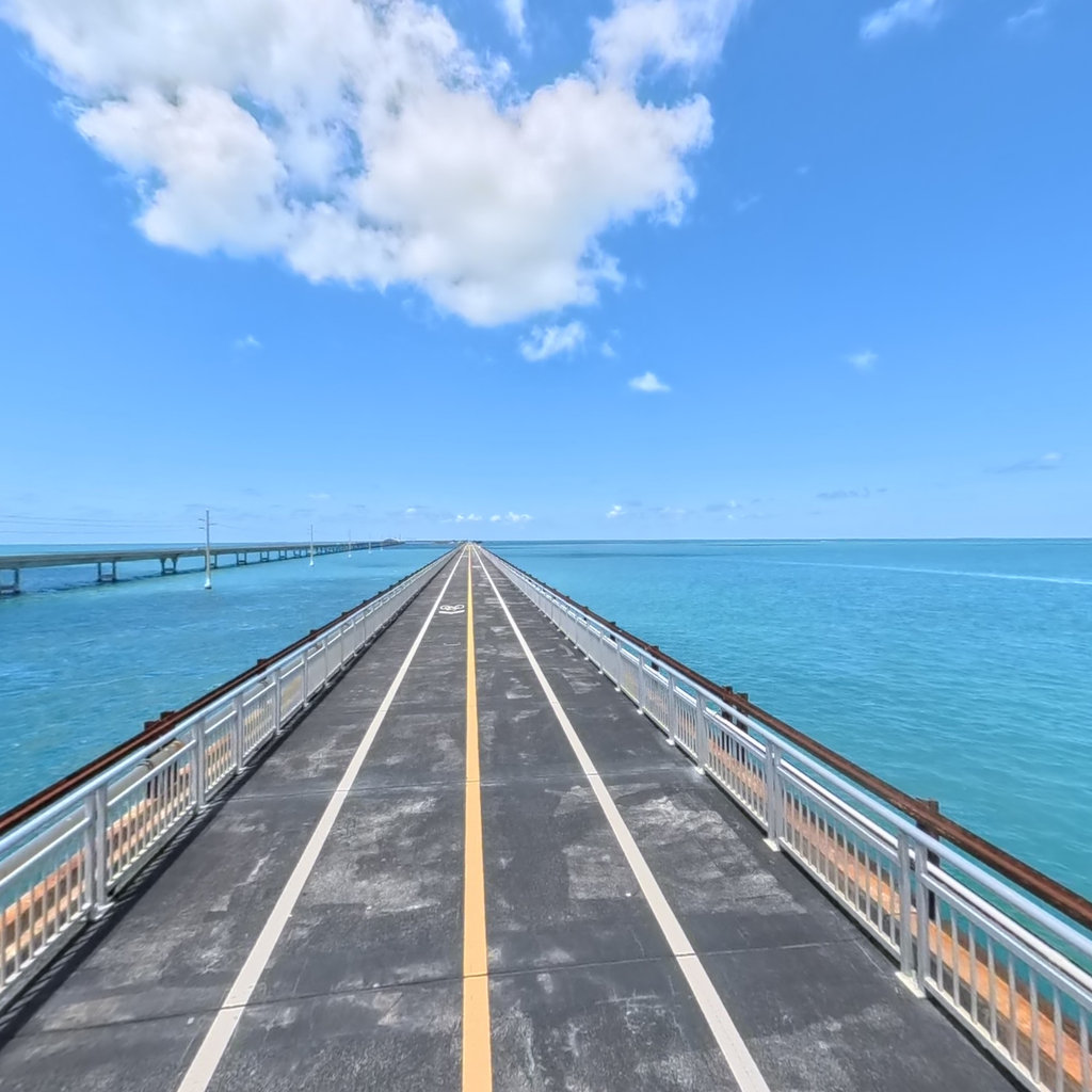

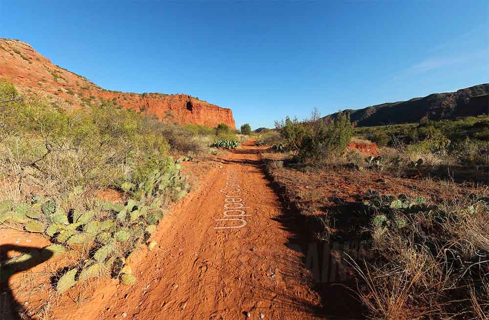
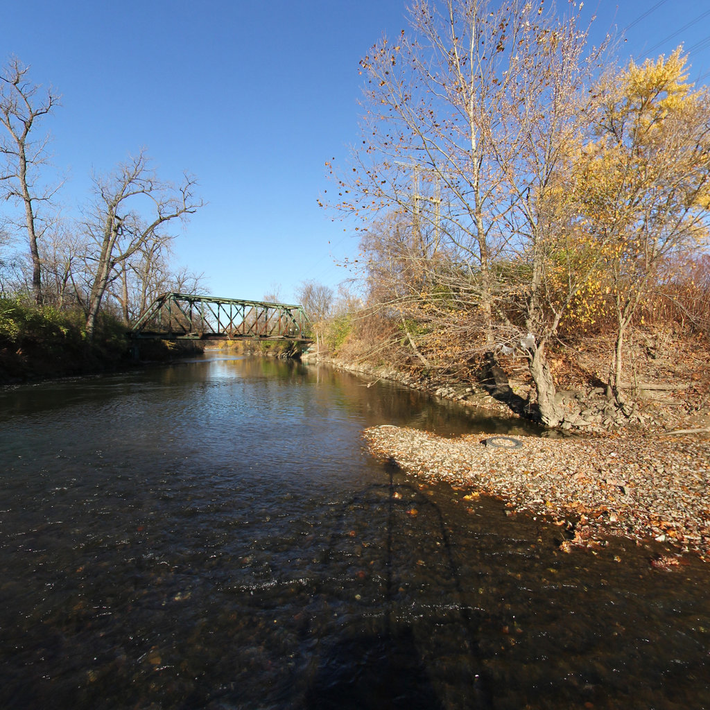

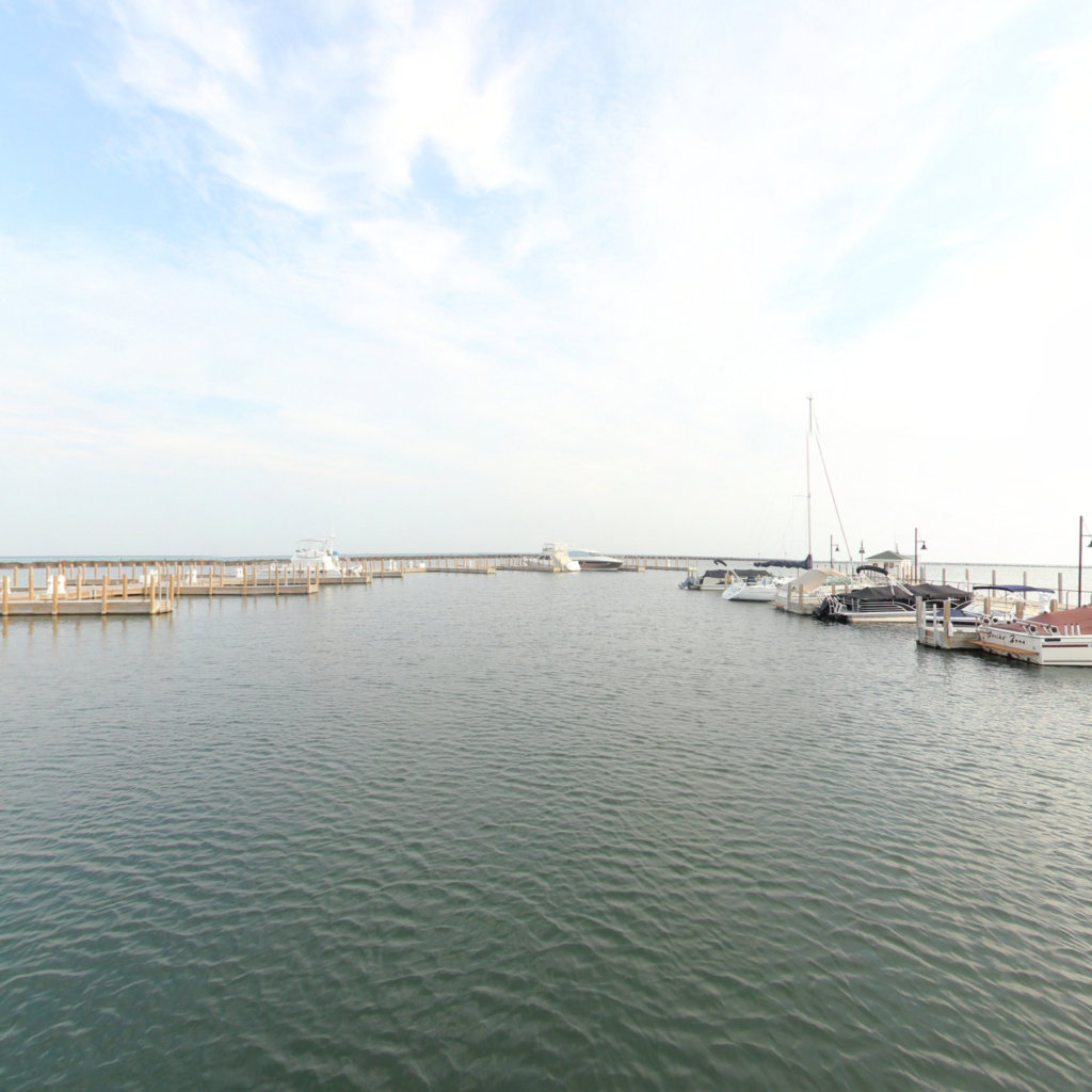

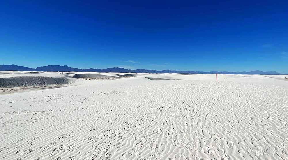
Branded, data-rich maps, realtime water levels, weather, and trip planning, each one a custom build on our 360° foundation.
Your 360° corridor is more than a virtual tour. Lens Atlas puts observations on a filterable map, keeps the exact panorama one click away, and exports selected evidence for your GIS workflow.
Live now: RAPG evidence, 360° source views, GeoJSON and CSV. Points show camera locations, not surveyed assets. Available on supported trails and collections.

Satellites have recorded the country from orbit for fifty years. Aerial programs re-photograph every county on a set cycle. Lidar has mapped the terrain in three dimensions. The view at eye level, where visitors stand, signs are read, banks erode, and assets age, has no public program. Roads have one; more than ten million street miles have been photographed and re-photographed. Trails, rivers, and shorelines have not.
That layer is what we build: georeferenced, dated, repeatable 360° capture that reads as data, not photographs. A baseline you can search, measure, compare across years, and stand inside.
NOAA sanctuaries, national and state water trails, land trusts, riverkeepers: we capture the corridor, build the map, and wire in the live data ourselves. Other vendors hand you a data layer, or a template to fill in. We hand you the finished place, ADA-documented, GIS-ready, delivered to your specs.