White Sands National Park Terrain360 Map Collection
White Sands: Where Endless Waves of Gypsum Create Nature's Most Stunning Desert Paradise
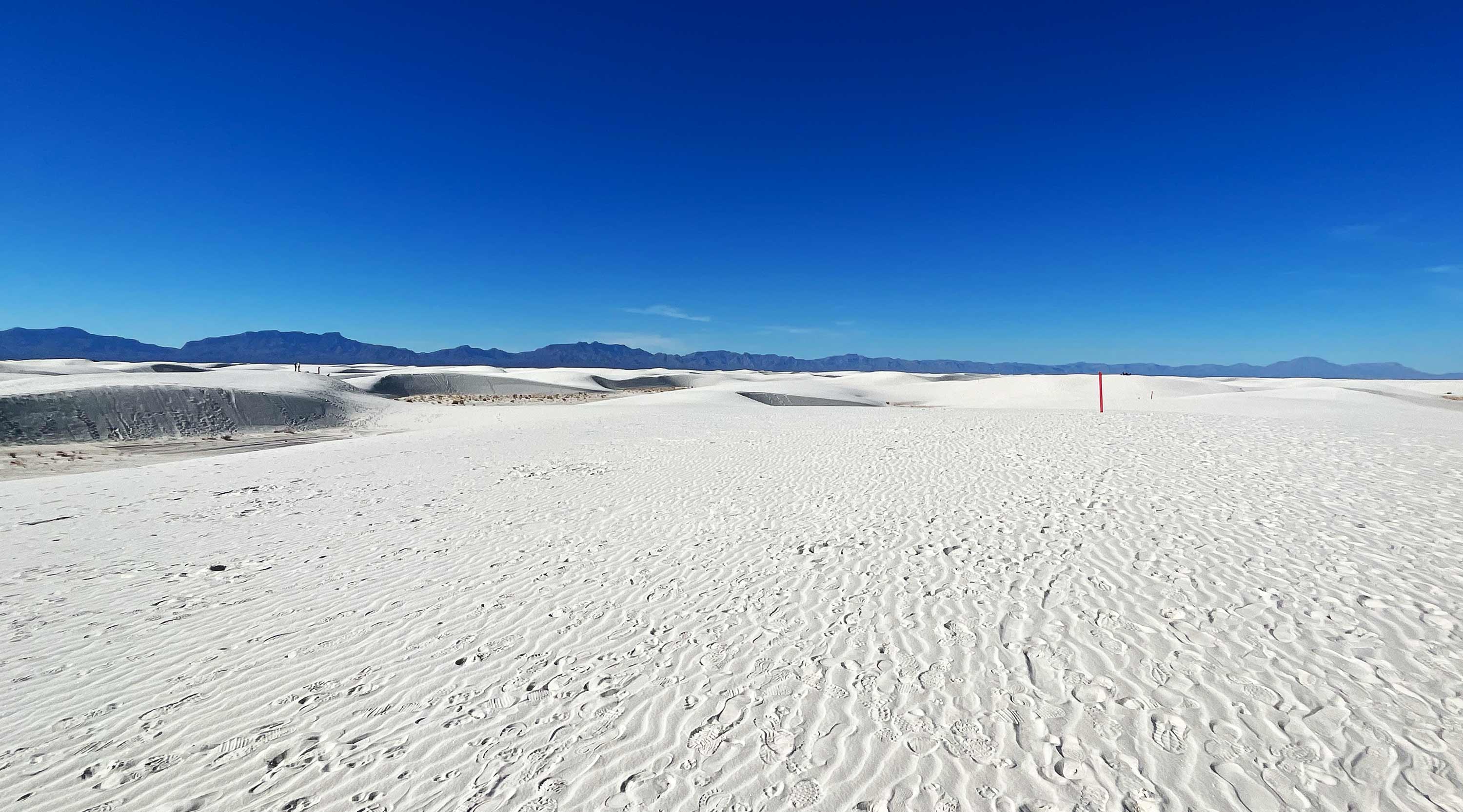
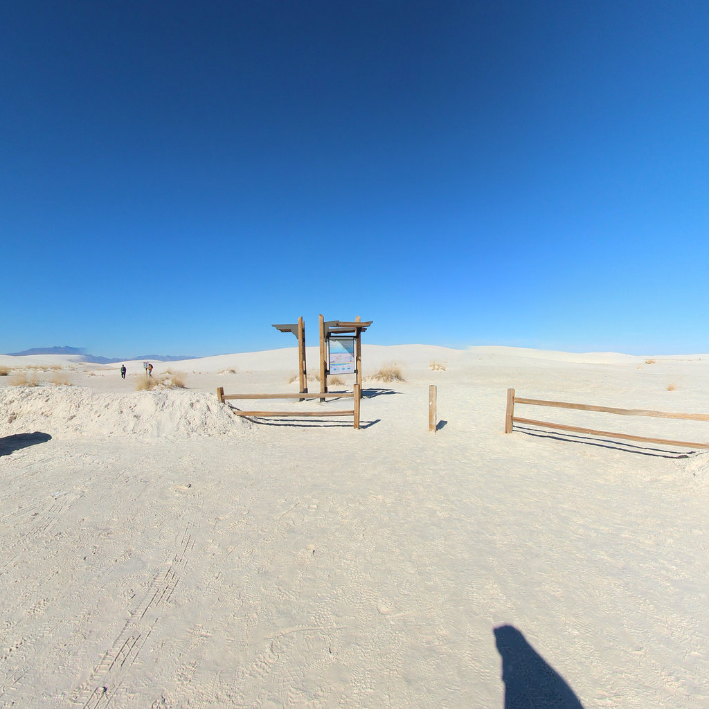
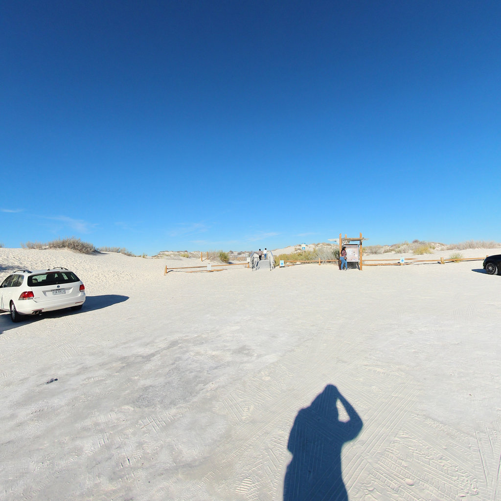
Nestled in southern New Mexico, White Sands National Park stands as one of nature's most remarkable masterpieces, featuring the world's largest gypsum dunefield. This otherworldly landscape spans 275 square miles of brilliant white sand that creates an ethereal atmosphere, especially during sunrise and sunset when the dunes take on subtle pink and golden hues. The stark white landscape appears almost mirage-like against the deep blue New Mexico sky, creating a photographer's paradise and a natural wonder that defies expectations.
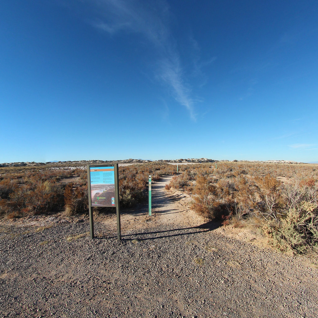
The park's four distinct trails, totaling just over 9,000 feet, offer visitors unique ways to experience this stunning environment. Whether you're hiking the dunes, sledding down their pristine slopes, or exploring the unique wildlife that has adapted to this gypsum ecosystem, each visit promises an unforgettable adventure. Visitors can witness remarkable phenomena like desert wildflowers blooming in season, observe resilient wildlife species, or simply marvel at the endless waves of white sand stretching to the horizon. For an especially magical experience, try visiting during a full moon when guided tours reveal the dunes in an entirely new light, transforming the landscape into a silvery, moonlit wonderland.