See how federal agencies, state departments, and conservation organizations use Terrain360 for baseline documentation, asset management, and public engagement. Each project delivers defensible visual records that serve both institutional needs and public access.
Timestamped, georeferenced records that hold up to scrutiny
Used by NPS, NOAA, BLM, and Forest Service
Connects with ArcGIS and asset management systems
Built-in ADA audio descriptions for accessibility
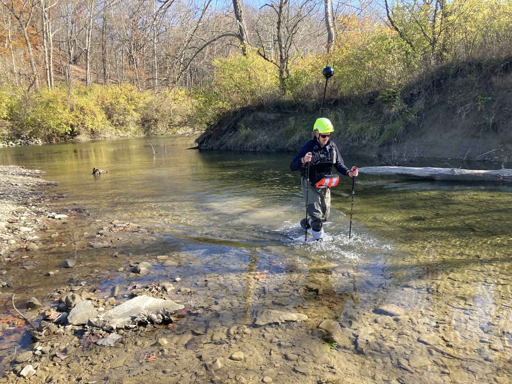
The Northeast Ohio Regional Sewer District (NEORSD) is collaborating with OHM Advisors and Terrain360 to create 360-degree maps of its waterways, including streams, culverts, and bridges. This documentation project supports infrastructure inspection, erosion monitoring, and maintenance planning. While primarily for internal use, the main stem of the Cuyahoga River map will be available on Terrain360.com, The documentation serves both internal asset management and public recreational planning.

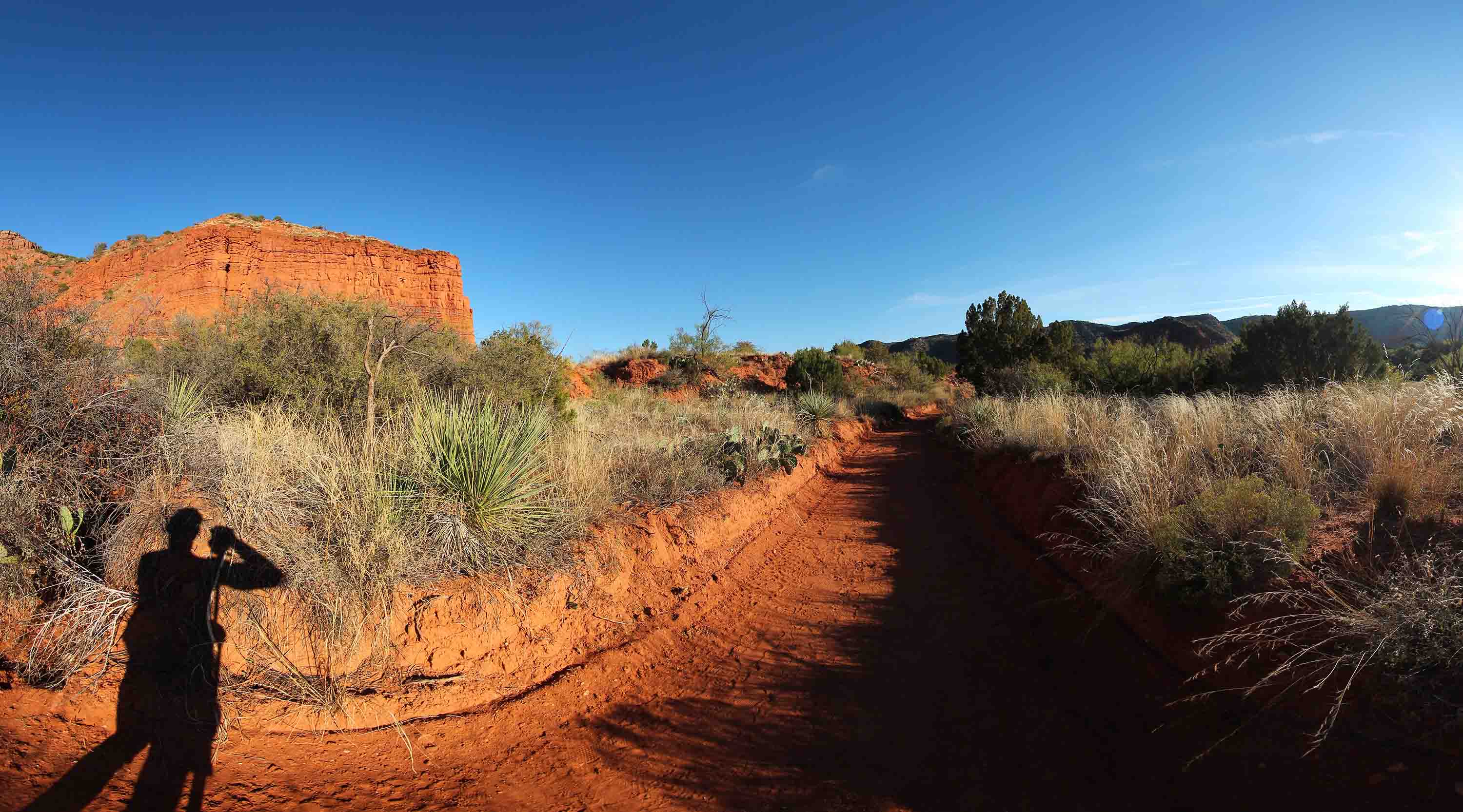
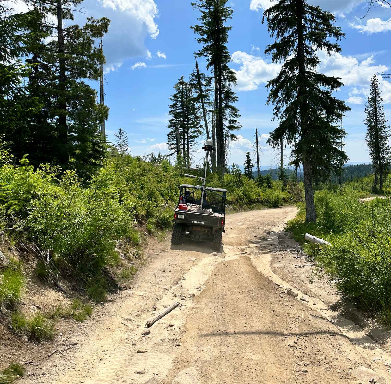
Terrain360 undertook an extensive mapping project on the Lolo Trail (ID) and Lemhi Pass (ID, MT), capturing over 170 miles of backcountry roads in 360° imagery. This baseline documentation supports National Park Service resource management along the Lewis & Clark National Historic Trail. The georeferenced imagery provides defensible records of trail conditions while enabling virtual access to remote backcountry areas.

Terrain360, in partnership with the Iowa Department of Natural Resources, completed a comprehensive mapping project on the Little Sioux River. This initiative involved mapping the river's course, spanning 78 miles across northwest Iowa, and all public access sites using advanced 360° imagery and drone photography. The documentation supports access site management, condition monitoring, and public trip planning for this designated State Scenic River.

Terrain360 collaborated with the National Park Service on a project to map the Niobrara National Scenic River using 360° imagery. The documentation provides baseline visual records supporting NPS resource management, while enabling virtual access to this biologically diverse river corridor for educational and recreational planning.
Terrain360 leverages cutting-edge artificial intelligence to automatically analyze and assess trail conditions, accessibility features, and environmental characteristics. Our AI system processes 360° imagery to identify hazards, evaluate trail difficulty, and provide detailed assessments that help land managers and visitors make informed decisions.
Georeferenced 360° documentation for trails, rivers, and outdoor assets. Trusted by federal and state land managers.