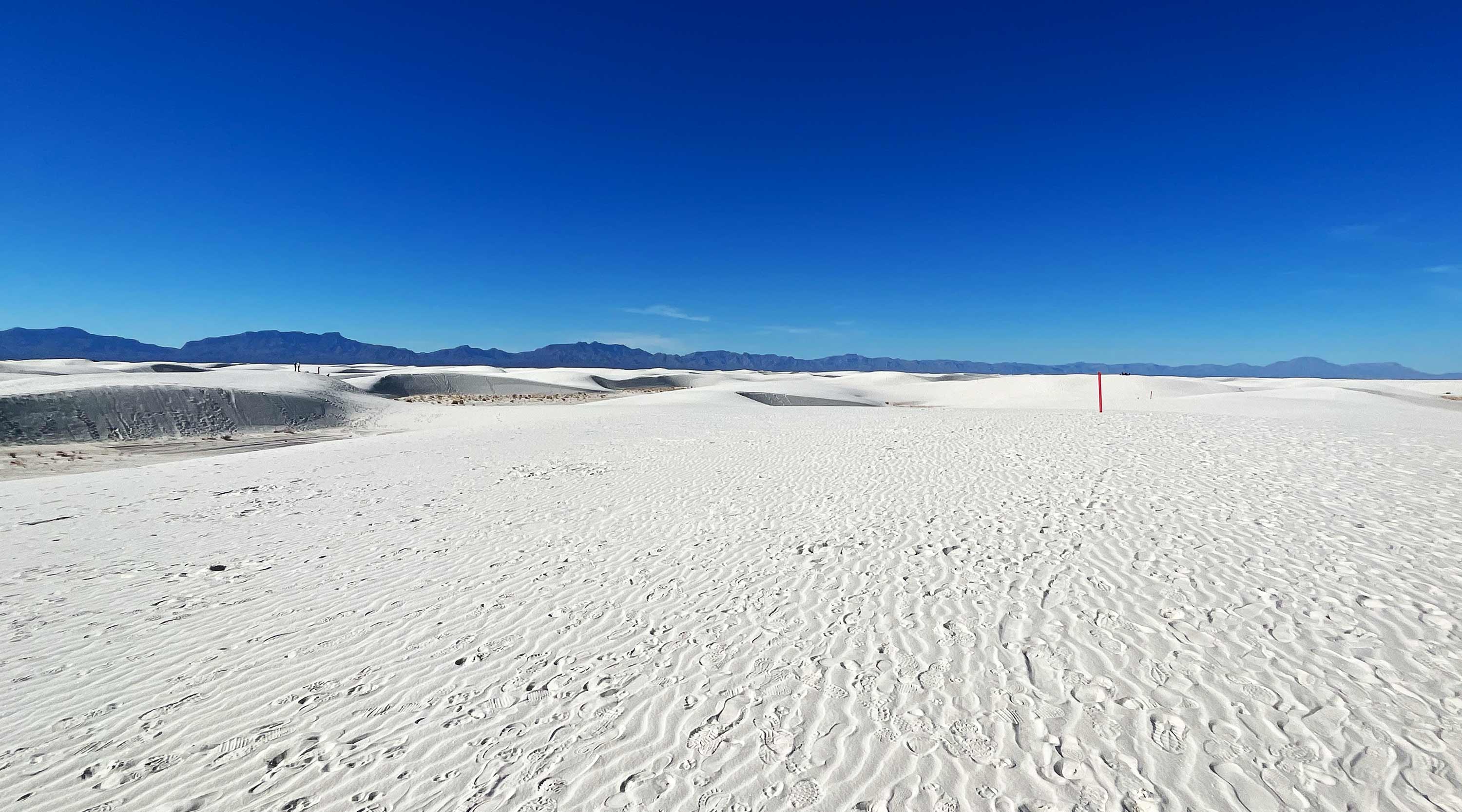
Every image is timestamped and georeferenced with precise latitude/longitude coordinates. Our custom-built platform was developed specifically for land management needs—delivering defensible visual documentation that integrates with GIS systems and meets federal compliance standards. The viewer works across all devices and browsers, ensuring your documentation is accessible to staff, stakeholders, and the public alike.
Compare baseline documentation against current conditions at the exact same coordinates. Essential for tracking erosion, storm damage, vegetation changes, and infrastructure deterioration over time. Periodic re-capture creates a visual timeline that supports maintenance planning, grant reporting, and FEMA documentation requirements.
Overlay research-grade species observations from iNaturalist directly on your documentation. Supports environmental assessments, invasive species tracking, and biodiversity monitoring. Private observations available with API authentication for sensitive data.

Federal agencies require Section 508 compliant digital content. Our AI automatically generates audio descriptions for every scene, ensuring your documentation meets accessibility requirements out of the box. The same AI analyzes trail conditions, identifies hazards, and assesses accessibility features—providing data that supports ADA compliance planning and risk management.
Documentation is only valuable if it integrates with your existing workflows. Terrain360 connects with ArcGIS, asset management systems, and your public-facing websites—ensuring your visual records are accessible where you need them.
Embed your documentation directly into agency websites, visitor centers, or partner sites. Simple embed codes make sharing as easy as adding a YouTube video—no API key required for public content. Show stakeholders exactly what you're managing without requiring site visits.
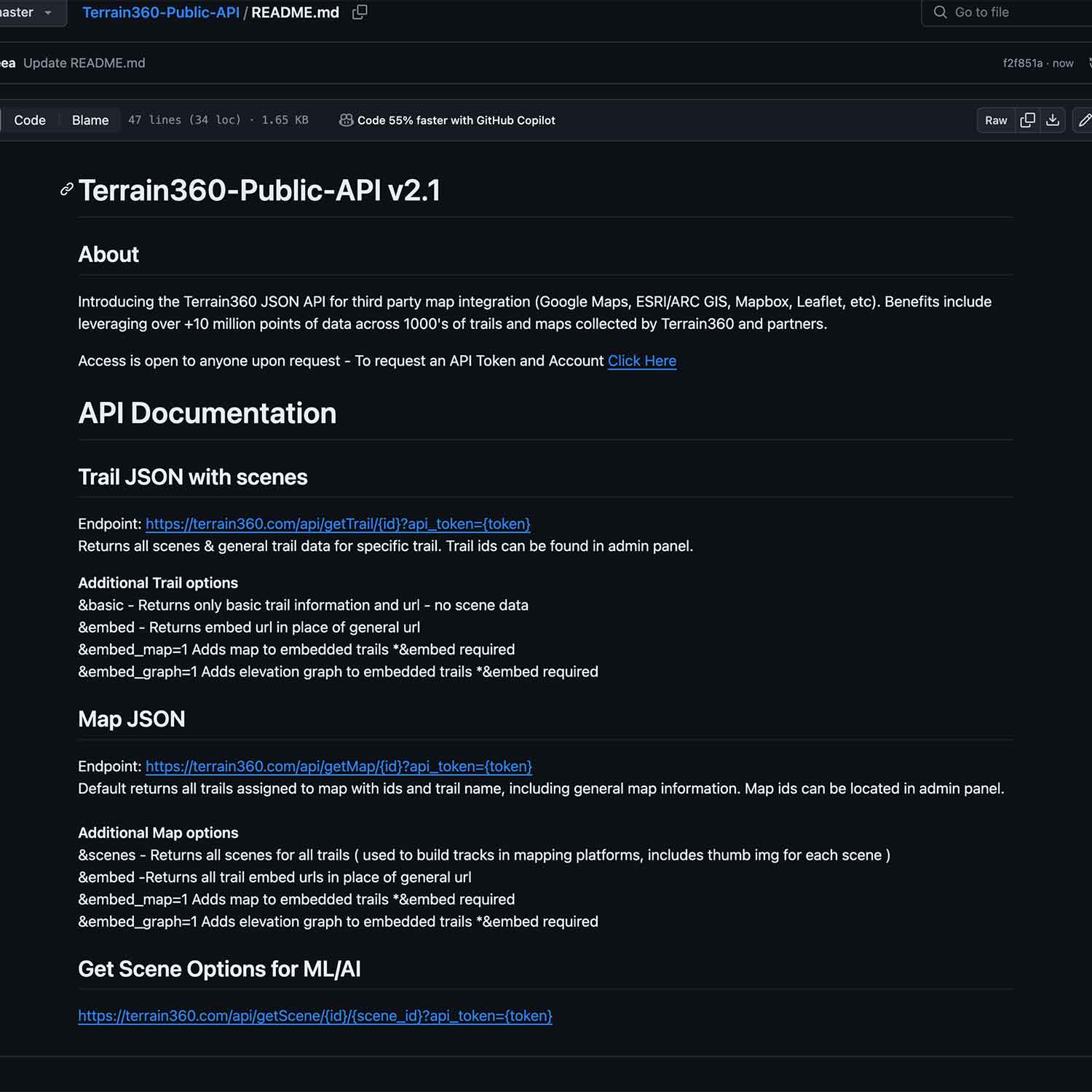
Full API access enables integration with ArcGIS, asset management platforms, and custom applications. Export georeferenced data to your existing GIS workflows. Connect visual documentation directly to your asset inventory systems for a complete picture of your managed resources.
Georeferenced 360° documentation for trails, rivers, and outdoor assets. Trusted by federal and state land managers.