Explore
Custom Maps
Scene Intelligence
Lenses
Stormwater
Features
Use Cases
Sentinel
About
Contact
☰
Map collection
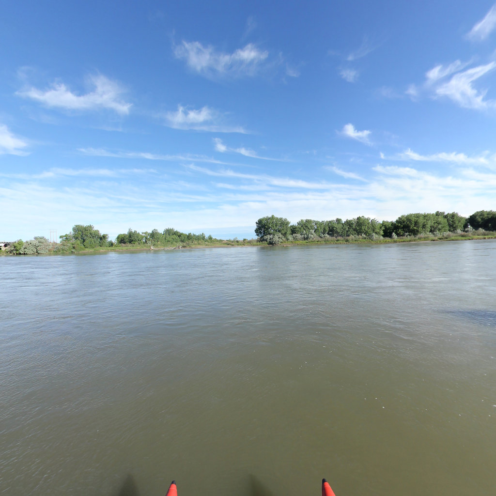
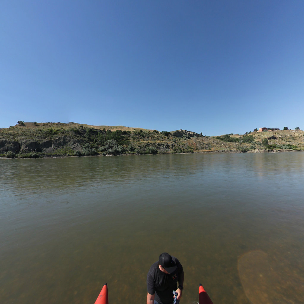
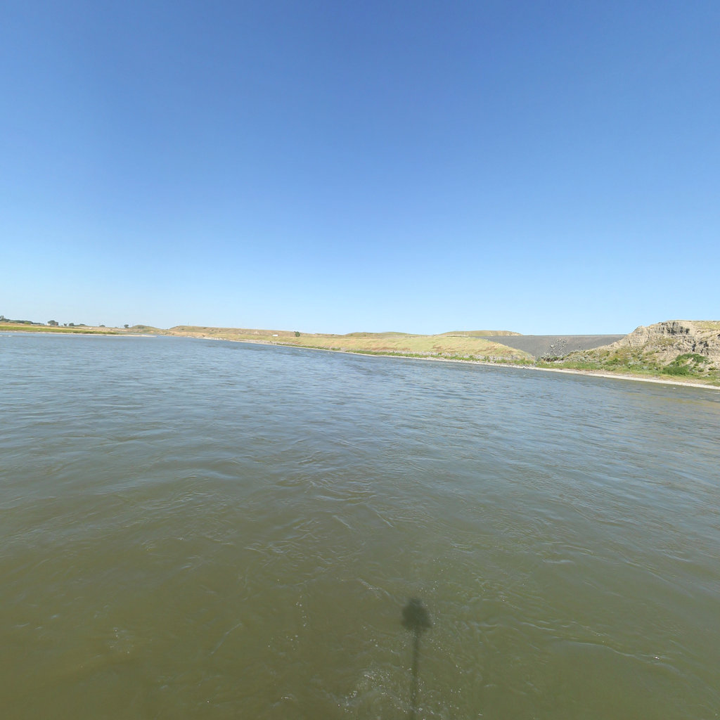
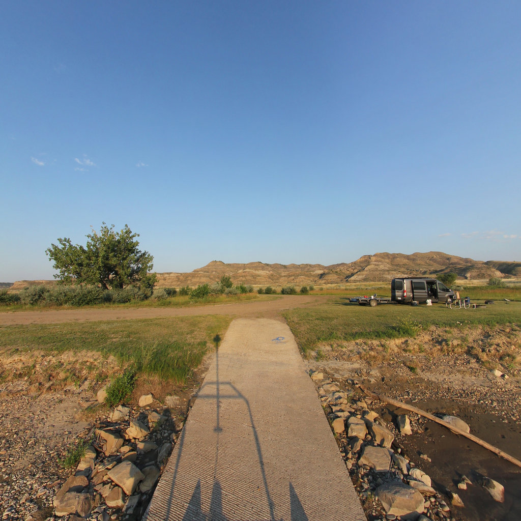
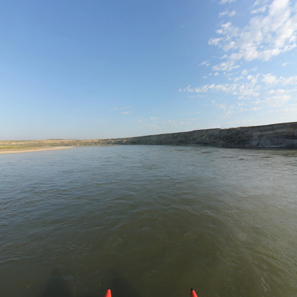
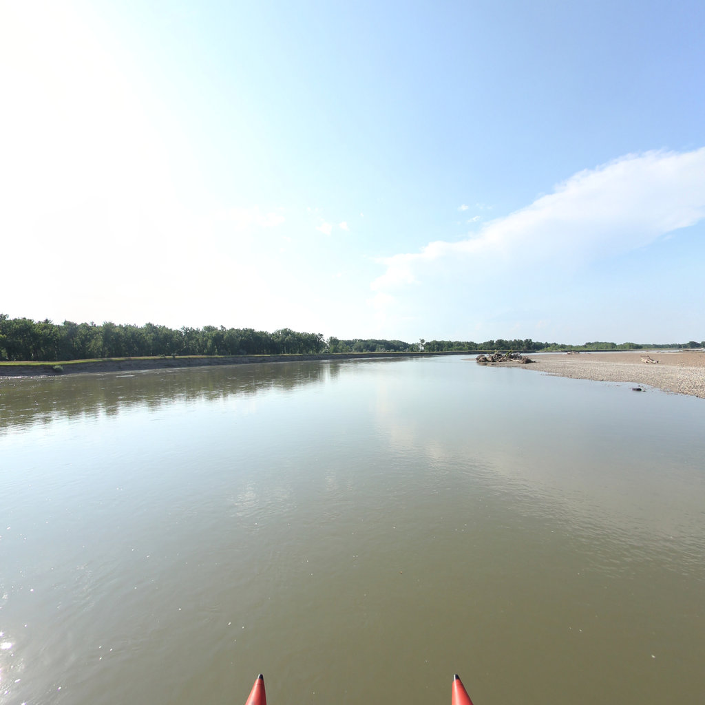
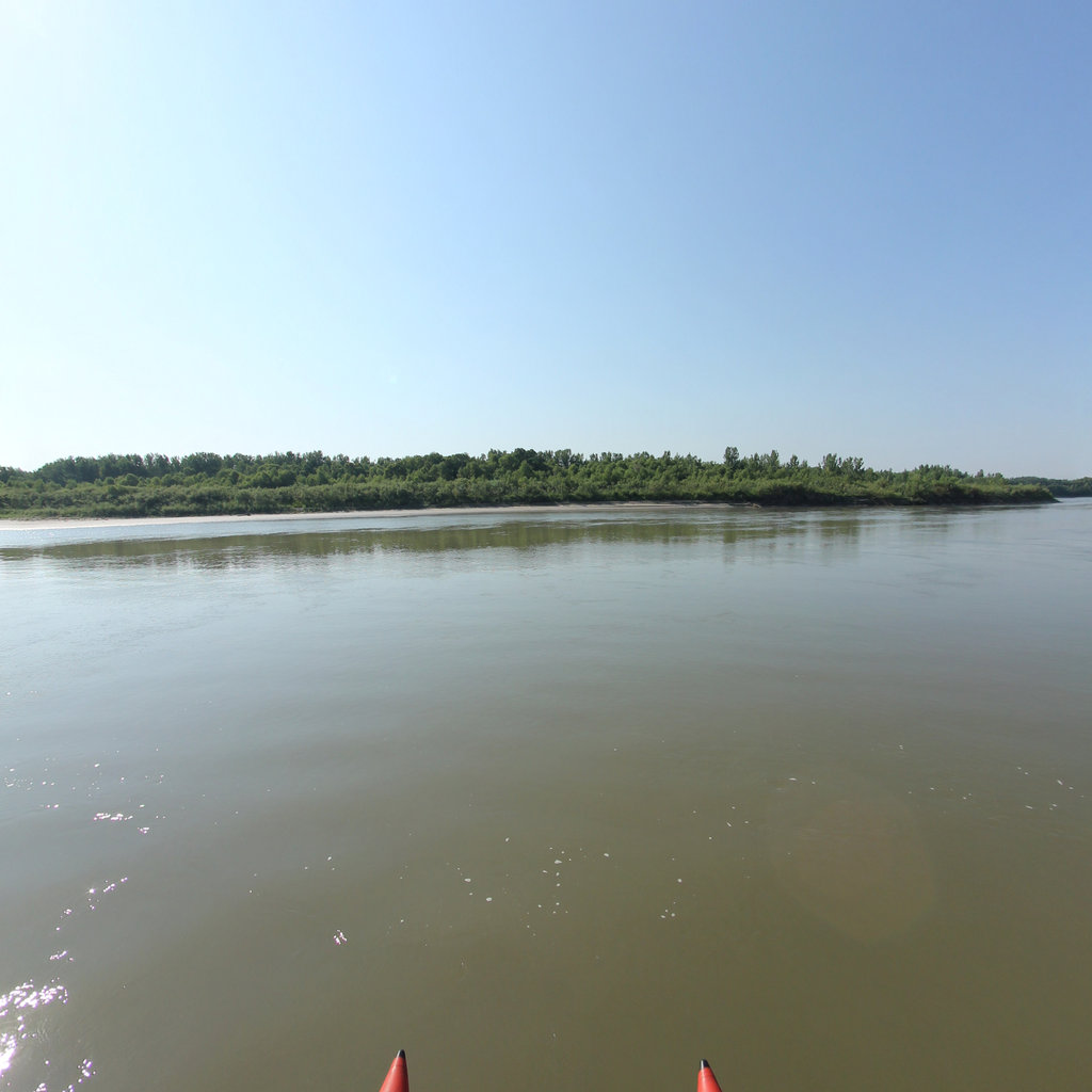
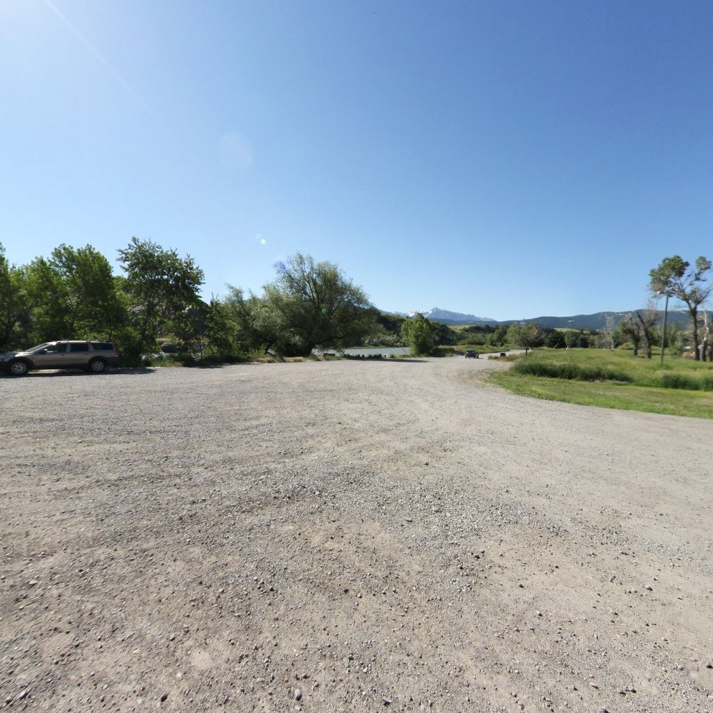
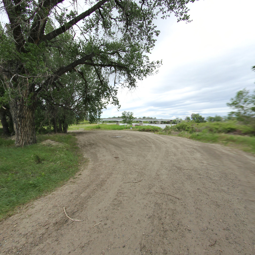
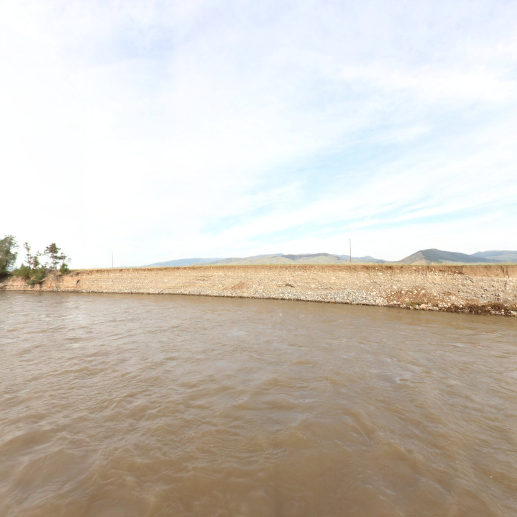
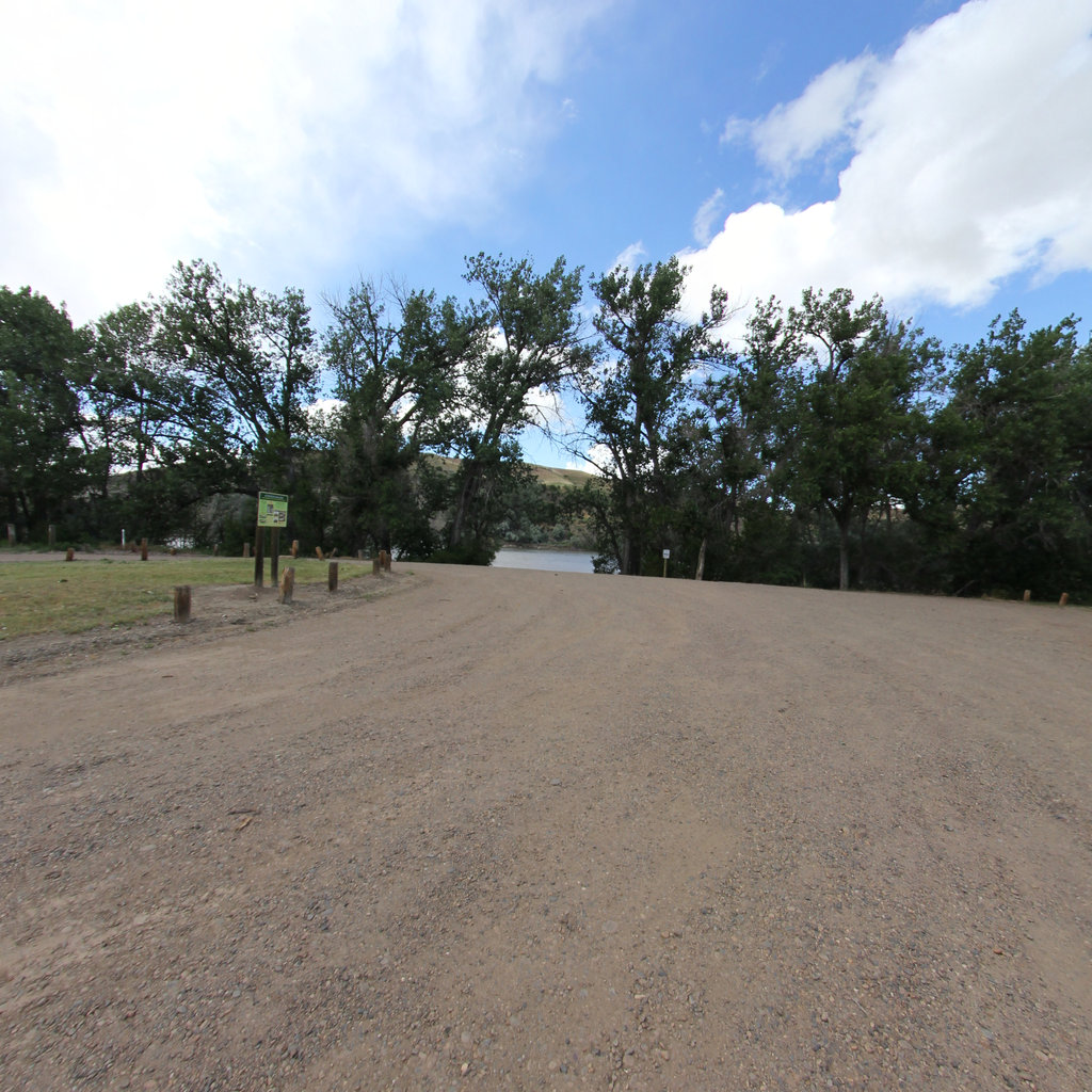
Yellowstone River
21
segments
509.1
miles
Project partner
Lewis & Clark National Historic Trail
Explore the map
Click anywhere on the line to drop into that spot in 360°.
Interactive · live map
Segment index
21 segments · grouped by area
River Segment
13
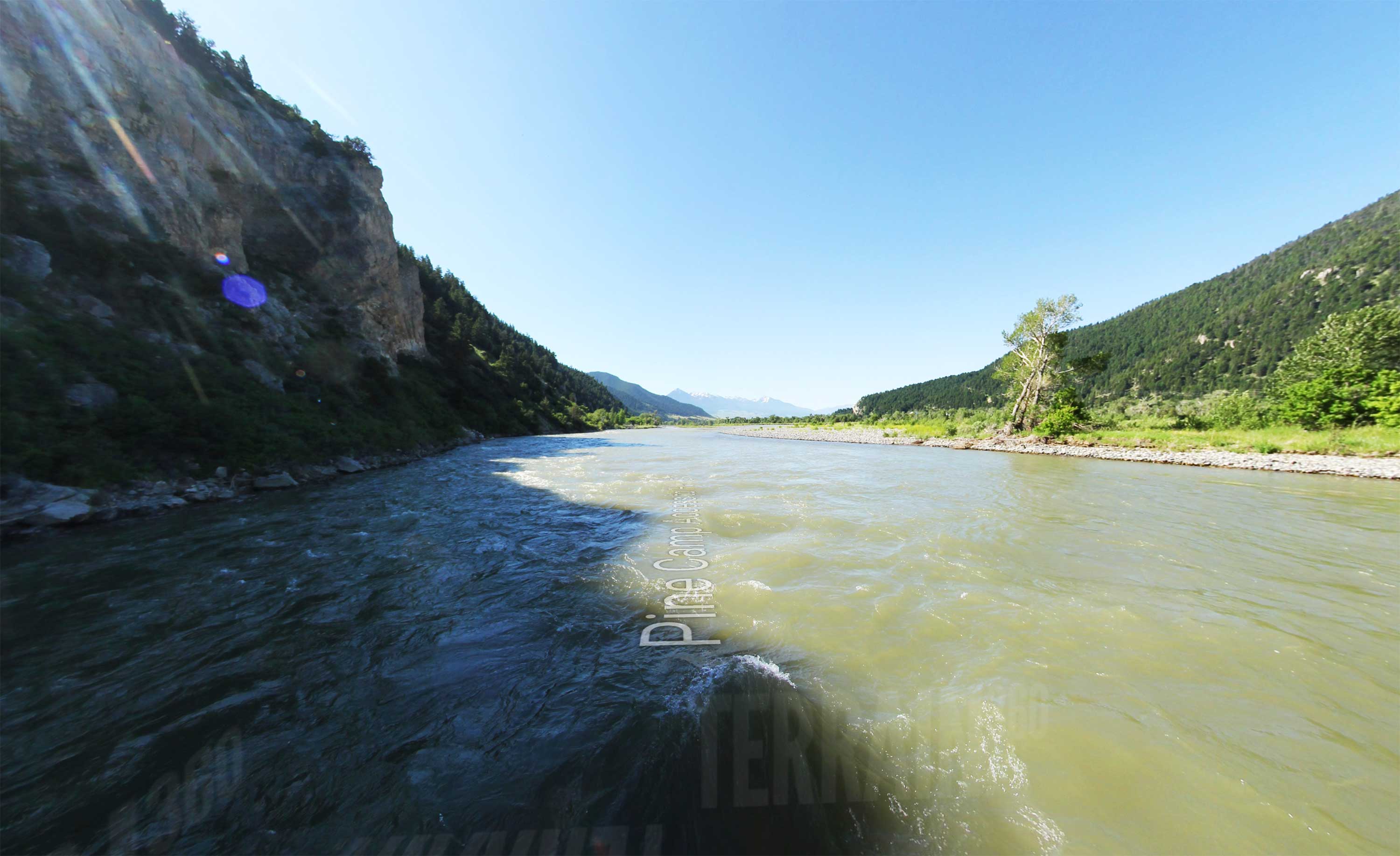
Pine Camp Access to Hwy 89
17.9 mi ·
45.517, -110.582
Hwy 89 to Big Timber
34.16 mi ·
45.72, -110.463
Big Timber to Billings
93.46 mi ·
45.854, -109.914
Billings to Myers
80.14 mi ·
45.791, -108.473
Myers to Miles City
100.21 mi ·
46.255, -107.343
Miles City to Kinsey
14.17 mi ·
46.422, -105.857
Miles City to Bonfield
5.51 mi ·
46.564, -105.607
Bonfield
1.71 mi ·
46.632, -105.567
Bonfield to Sidney
119.03 mi ·
46.662, -105.531
Sidney
11.77 mi ·
47.627, -104.184
Sidney to Confluence
23.18 mi ·
47.755, -104.084
Clark's Signature
0.11 mi ·
45.995, -108.003
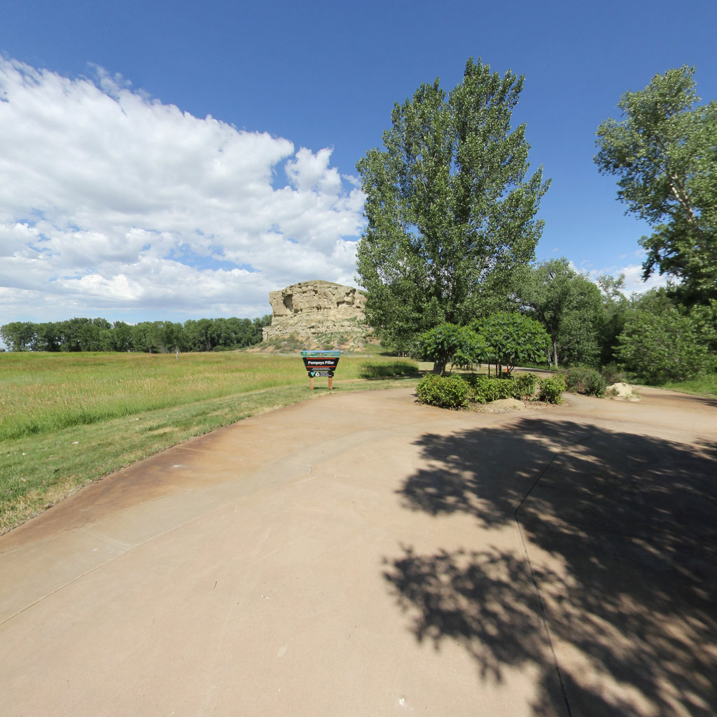
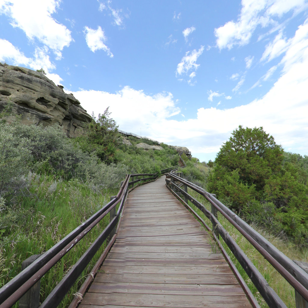
Pompeys Pillar Tower
0.06 mi ·
45.996, -108.005
Show all 13 segments
Access
8
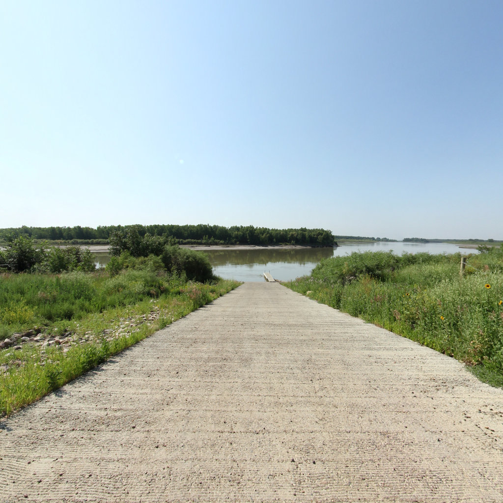
Confluence Access
0.04 mi ·
47.987, -103.98
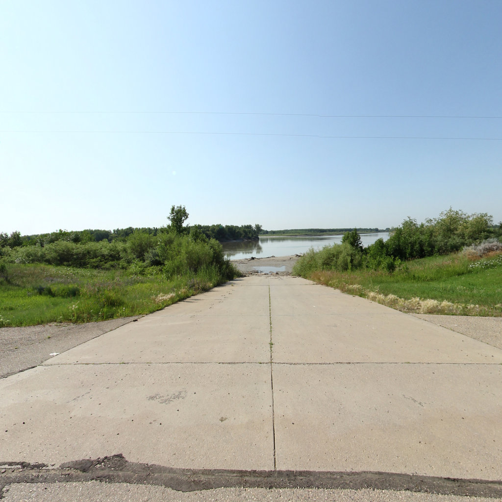
Ft Buford Access
0.04 mi ·
47.986, -103.982
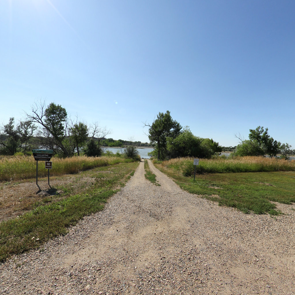
Mathews Access
0.04 mi ·
46.503, -105.735
Mayor Landing
0.05 mi ·
45.666, -110.54
Myers Access
0.03 mi ·
46.255, -107.342
Pine Camp to River Road
7.44 mi ·
45.516, -110.583
Roche Jaune Access
0.06 mi ·
46.421, -105.857
Springdale Access
0.03 mi ·
45.744, -110.232
No segments match your search. Try a trail or area name.
Browsing a large collection? The
interactive map
is the fastest way to find a specific spot.
Featured trail
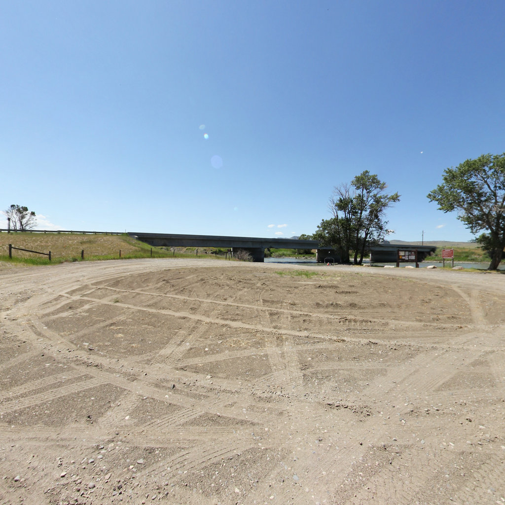
Pine Camp Access to Hwy 89
Explore Pine Camp Access to Hwy 89 →
Nearby collections & trails
More places to explore
Collection
Lewis & Clark National Historic Trail
→