Blue Water River Walk & Bridge to Bay Trail
Project Partners

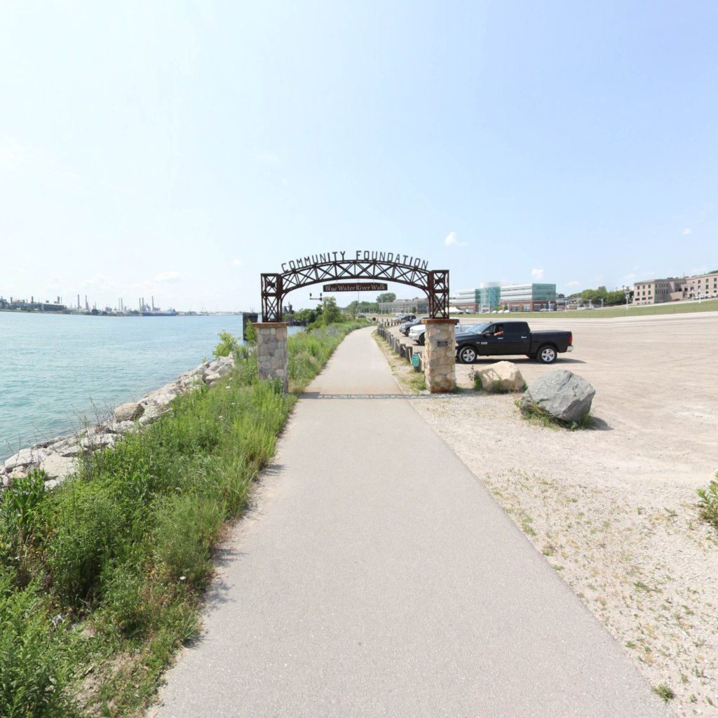
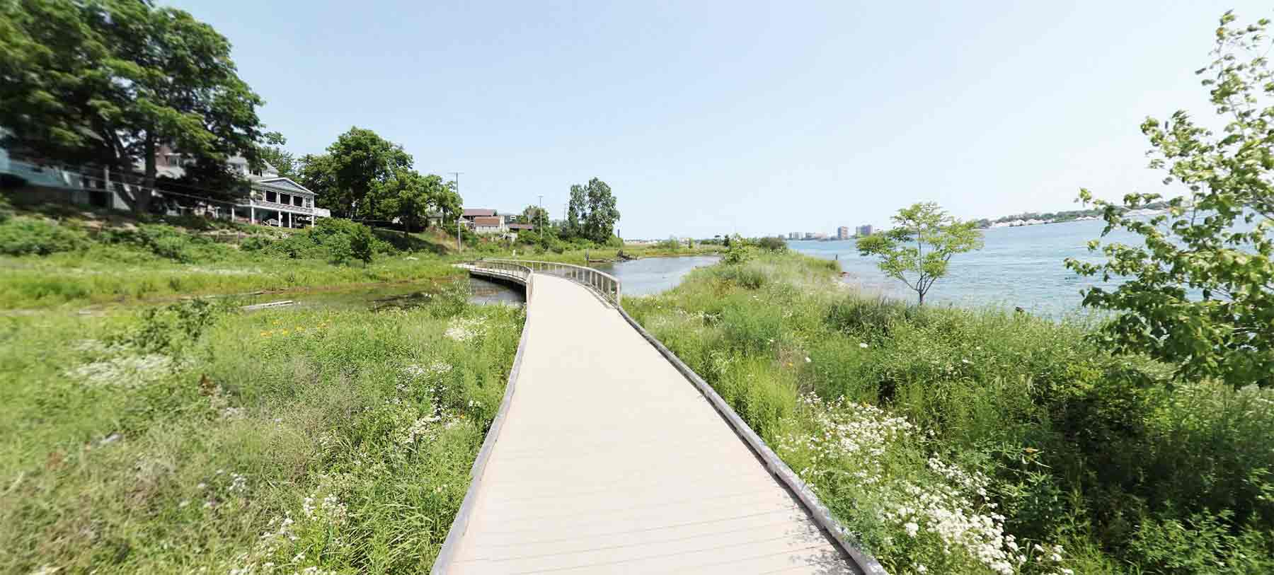
The Blue Water River Walk is almost one-mile of St. Clair River shoreline immediately south of the mouth of the Black River in Port Huron, Michigan. It is less than a mile downriver from the Blue Water Bridge to Sarnia and the southern end of Lake Huron. Owned by the Community Foundation of St. Clair County, the Blue Water River Walk is open to the public year-round.
Click on any line in the map to explore the location in street view.
At Terrain360™, our website's dark mode design enhances the user experience on mobile devices, laptops, and tablets, while also aiding in battery conservation and reducing carbon footprint. This is especially beneficial for devices with OLED and AMOLED screens, which are common in modern technology and more energy-efficient when displaying darker colors.