Cape Hatteras National Seashore Terrain360 Map Collection

A Place to Engage Your Senses

Cape Hatteras National Seashore is a United States national seashore which preserves the portion of the Outer Banks of North Carolina from Bodie Island to Ocracoke Island, stretching over 70 miles (110 km), and is managed by the National Park Service. Included within this section of barrier islands along N.C. 12, but outside the national seashore boundaries, are Pea Island National Wildlife Refuge and several communities, such as Rodanthe, Buxton, and Ocracoke. Cape Hatteras is a combination of natural and cultural resources, and provides a wide variety of recreational opportunities. Four campgrounds are located across Cape Hatteras National Seashore, providing an immersive experience of the barrier islands. The seashore spans from the soundside to the oceanside, and is open to everyone who adores a pristine and undeveloped length of seashore, as well as some of the Outer Banks' best birding, surfing, fishing,shelling and all around beach-going activities. The park's fishing and surfing are considered the best on the East Coast. From the third Friday in April through Columbus Day, the Cape Hatteras Lighthouse and the Bodie Island Lighthouse are open for climbing.

The islands provide a 
variety of habitats and are a valuable wintering area for migrating waterfowl. 


Source: Wikipedia.orgPhoto Credit: Jarek Tuszyński / CC-BY-3.0 & GDFL [CC BY 3.0 (http://creativecommons.org/licenses/by/3.0) or GFDL (http://www.gnu.org/copyleft/fdl.html)], via Wikimedia Commons

Hatteras Island (40.1 mi)

35.610435, -75.465769
Hatteras Island scene image looking forward

Ocracoke Island (17.5 mi)

35.190969, -75.780447
Ocracoke Island scene image looking forward

Pea Island NWR (12.49 mi)

35.76752, -75.525864
Pea Island NWR scene image looking forward

Ramp 38 ORV (0.08 mi)

35.32111, -75.508682
Ramp 38 ORV  scene image looking forward

Ramp 55 ORV (0.13 mi)

35.205952, -75.704002
Ramp 55 ORV  scene image looking forward

Ramp 55 Walkway (0.09 mi)

35.20591, -75.703499
Ramp 55 Walkway  scene image looking forward

Explore the Map

Click on any line in the map to explore the location in street view.

Explore Hatteras Island

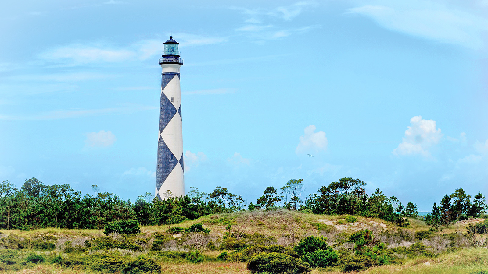
Enjoy one of North Carolina's most beautiful coastal shorelines. The sound of ocean waves, the starry night sky, or the calm of a secluded, deserted beach, you can experience it all. Shaped by the forces of water, wind, and storms the island is ever changing. The plants, wildlife, and people who live here adapt continually. Whether you are enjoying the beach, kayaking the sound, or climbing the Cape Hatteras Lighthouse there is something for everyone to explore!/ www.nps.gov