Click on any trail to explore in 360°
9 Segments
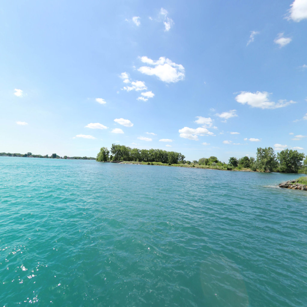
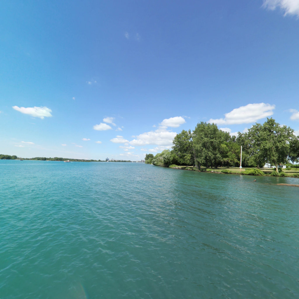
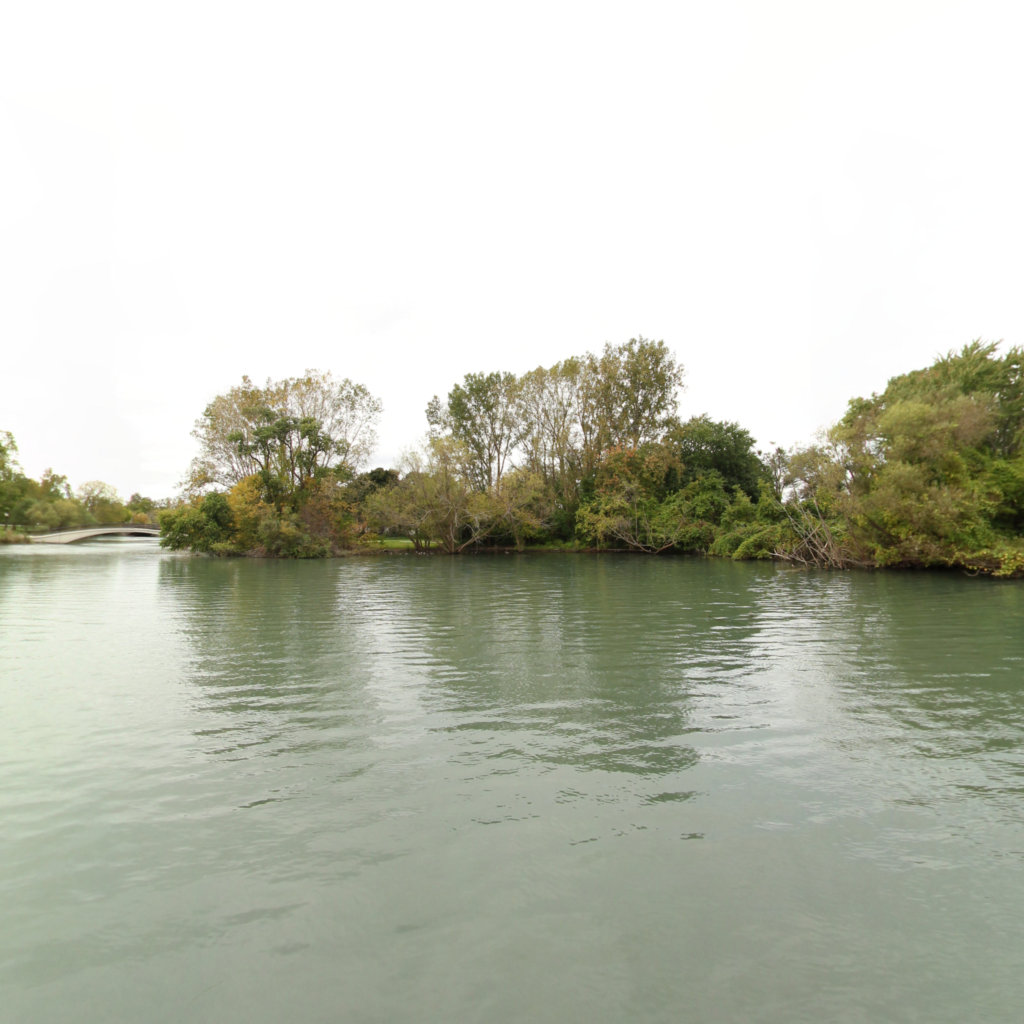
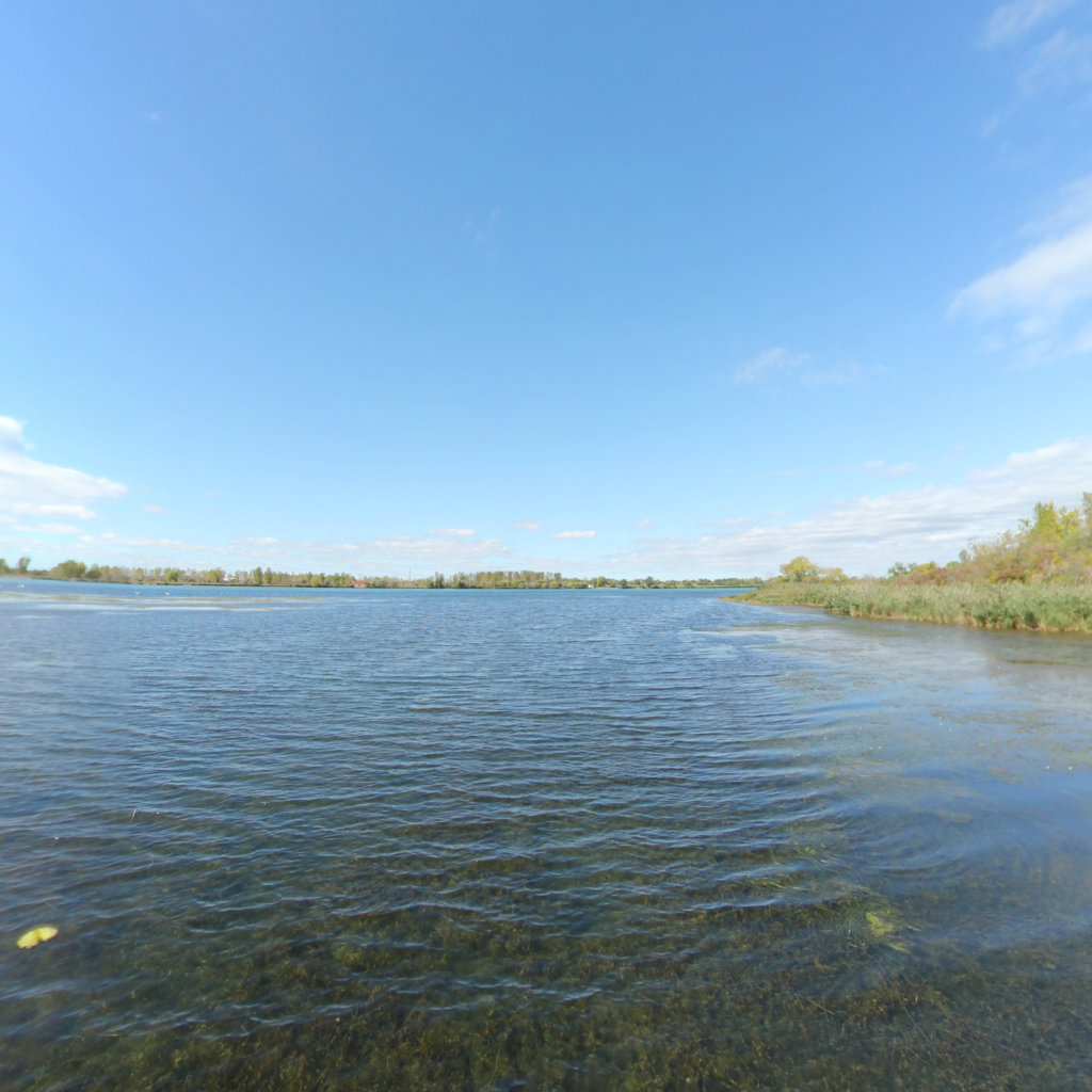
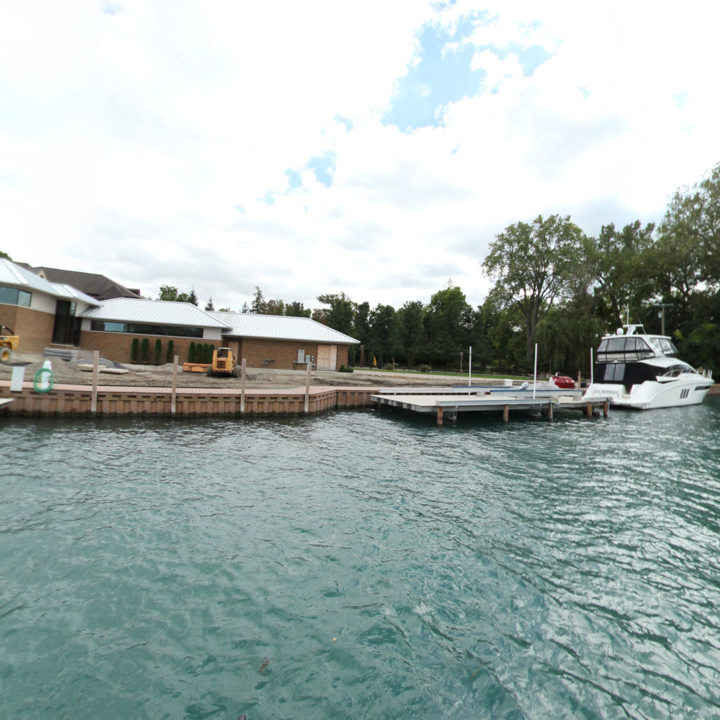
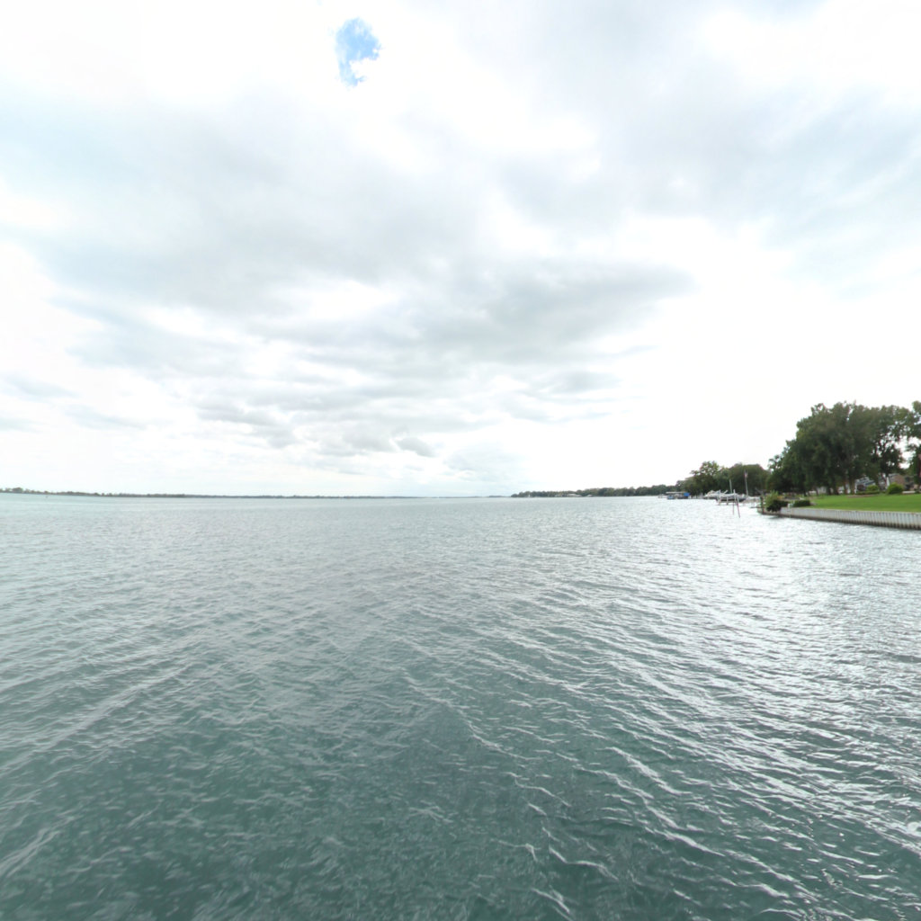
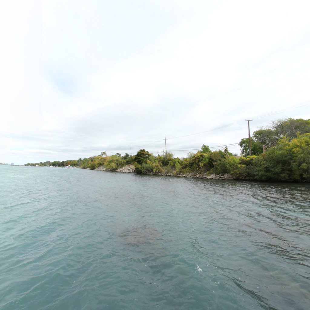
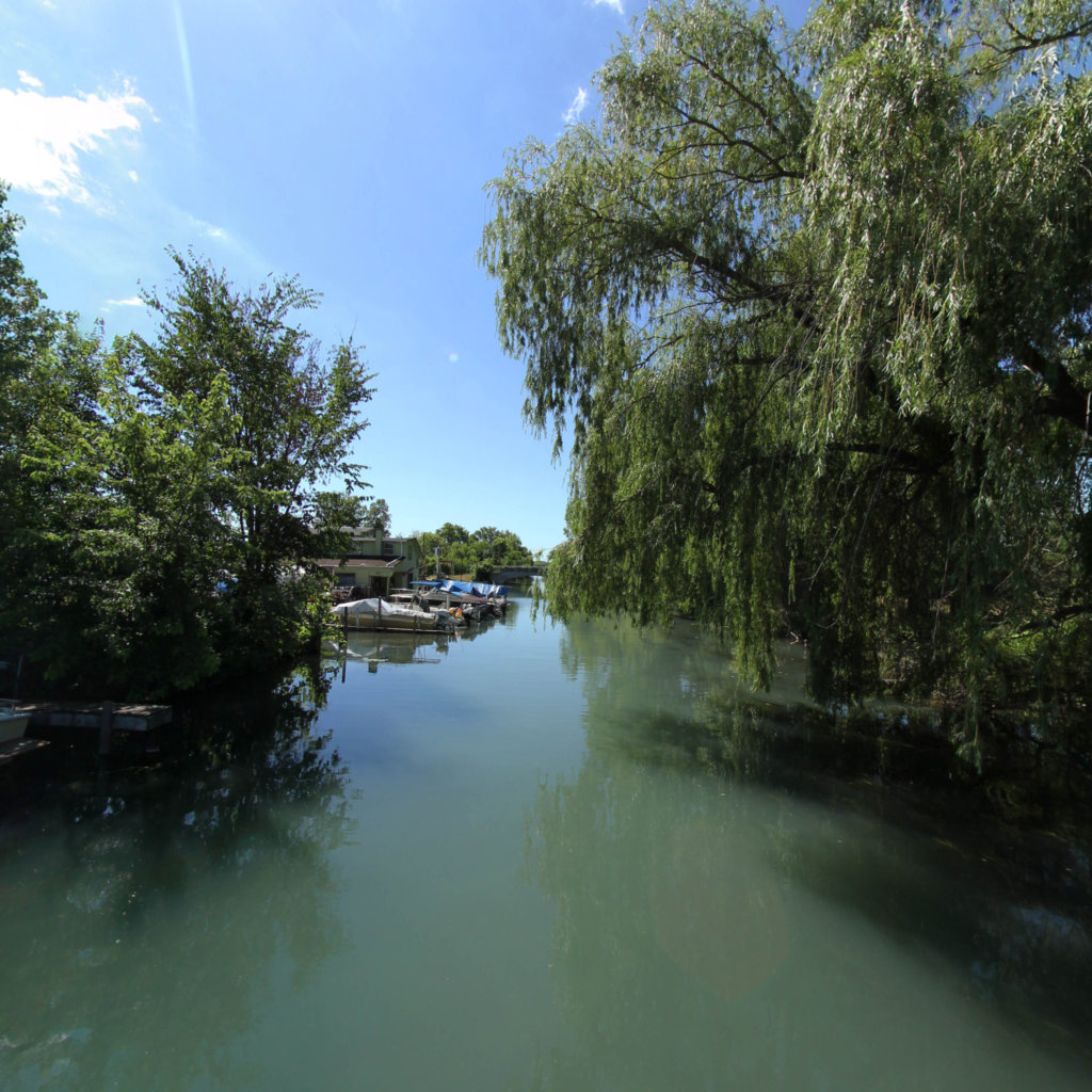
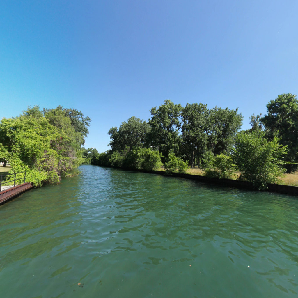
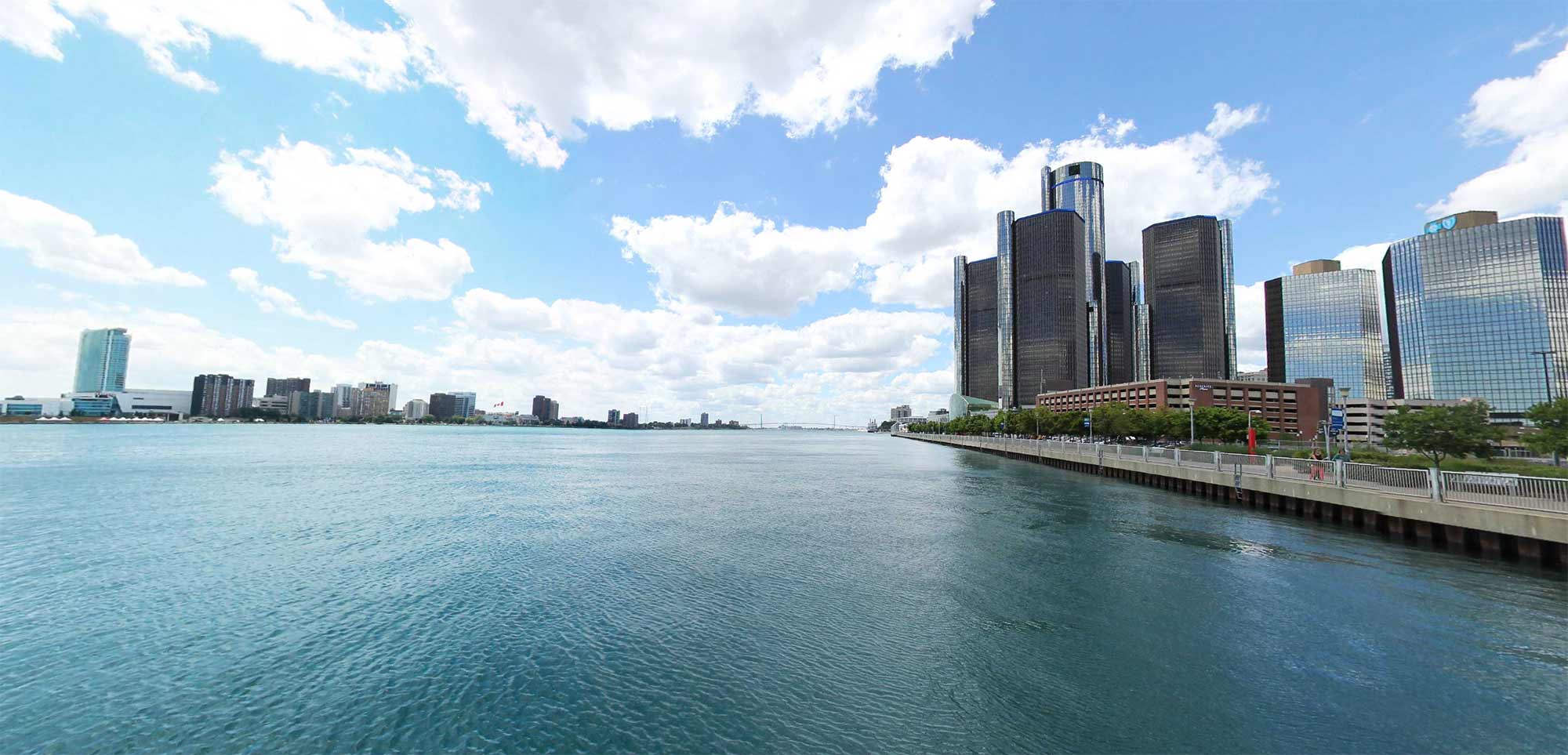
The Belle Isle/Detroit segment travels around Historic Belle Isle, providing great views of the island (including the historic Detroit Yacht Club), the Detroit skyline and Canada. This 7-mile trail segment also provides a great opportunity to observe freighters from the water.
At Terrain360™, our website's dark mode design enhances the user experience on mobile devices, laptops, and tablets, while also aiding in battery conservation and reducing carbon footprint. This is especially beneficial for devices with OLED and AMOLED screens, which are common in modern technology and more energy-efficient when displaying darker colors.