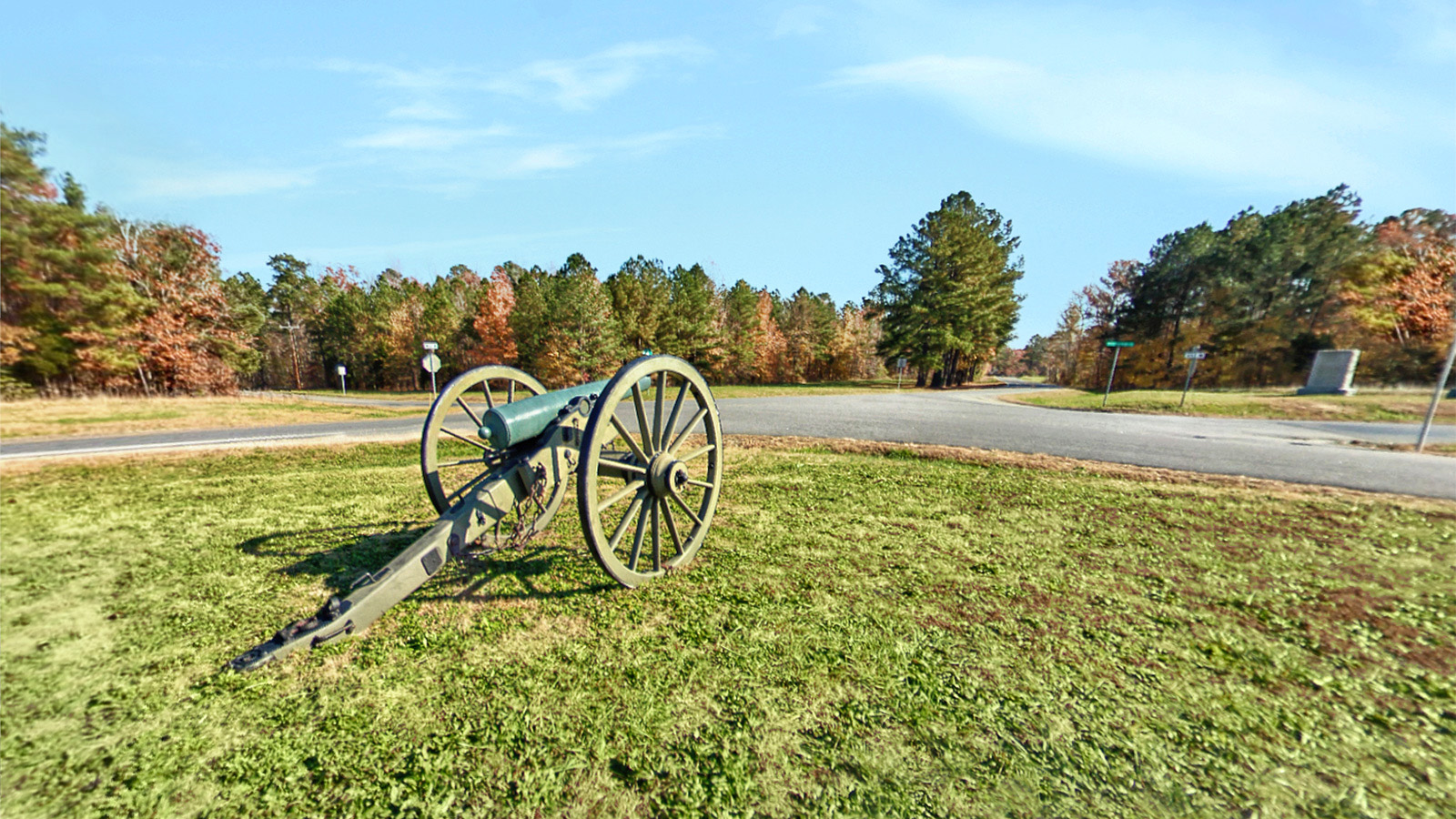
Five Forks Battlefield is a battlefield of the American Civil War, located in and around the hamlet of Five Forks, Dinwiddie County, Virginia. It is the location of the Battle of Five Forks (April 1, 1865), in which Union Army forces broke through Confederate Army lines, opening the way to gain control of the last rail line to besieged Petersburg. The Confederate loss caused them to abandon that city, which undermined the defense of Richmond, the Confederate capital. Final surrender of the Confederate forces would occur at Appomattox Courthouse two weeks later.
Part of the battlefield site is a unit of Petersburg National Battlefield, with public access that includes access trails to points of interest in the area. An area of more than 1,200 acres (490 ha) around Five Forks was declared a National Historic Landmark in 1960. The Five Forks Unit of Petersburg National Battlefield now has approximately eight miles of trails open to the public. These trails can be used for hiking, bicycling and horse riding.
Source: Wikipedia.org,
Nps.gov