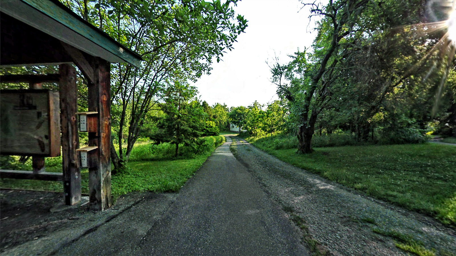
Scenically shadowed by the Blue Ridge Mountains, the Ivy Creek Natural Area (ICNA) is a 215-acre preserve bordering the South Fork Rivanna Reservoir in Charlottesville, Virginia. With six miles of trails traversing a mix of upland woods, pine stands, fields, streams, and shoreline, ICNA is an ideal site to learn about the rich natural history characteristic of Central Virginia.
The following
self-guided walks are designed to illustrate some of the interesting features of the area's natural history: North Field Trail to learn more about Virginia's historic landscape; School Trail to learn to identify the native trees of Central Virginia; Red Trail to experience Virginia's diverse natural habitats; White Trail to learn more about the ecology of a Virginia forest habitat; Brown Trail to take a walk through a typical forest succession; Peninsula Trail for an adventure through a riparian habitat.
The Ivy Creek Natural Area is
a special kind of park. Everyone is welcome to visit but nature comes first. Help keep the Natural Area a special place by following the rules the county and city have created. In general, you can do anything as long as it doesn’t scare or harm wild animals or plants. Hence, no dogs, game playing, jogging, loud noises or collecting. A natural area is
a place for walking, seeing and noticing. The city and county have many parks that permit all of the things not allowed at Ivy Creek. This is why it is so different.
Source: Ivycreekfoundation.org