James River Boat Landings Terrain360 Map Collection

Ride Your Boat, Pier Fish, or Enjoy the View

The James River is Virginia’s largest river, flowing across the entire state from its beginning at the headwaters of the Cowpasture and Jackson Rivers in Bath and Highland Counties, to its mouth at the Chesapeake Bay in Hampton Roads. It is Virginia’s largest tributary to the Chesapeake Bay.

The James River is a wonderful destination for recreation and enjoyment. Canoeing, fishing, kayaking, hiking, and swimming are some of the activities that people enjoy along the river during the summer. The James River offers both restful flatwater as well as heart‐pumping class IV rapids to entice river users of all abilities. The river has many the boat landings that provide an ideal and pleasant place for recreational boating and fishing. Visitors can use Ancarrow’s Landing/Manchester Docks at the end of Brander St. - it has a concrete boat ramp suitable for motor boats. Huguenot Flatwater and Pony Pasture Rapids have wooden boat ramps for canoes and kayaks. Reedy Creek is a put-in for advanced paddlers capable of handling Class IV rapids. Otherwise it is the take-out for those paddling in from the west.

Source: Wikipedia.org

Buchanan Landing (0.04 mi)

37.529513, -79.679376
Buchanan Landing scene image looking forward

Columbia Landing (0.1 mi)

37.748167, -78.162239
Columbia Landing scene image looking forward

Columbia Landing (0.05 mi)

37.748739, -78.162735
Columbia Landing scene image looking forward

Dutch Gap Launch 2 (0.01 mi)

37.381786, -77.376701
Dutch Gap Launch 2 scene image looking forward

Irongate Landing (0.09 mi)

37.772711, -79.782842
Irongate Landing scene image looking forward

Locker Landing (0.07 mi)

37.625727, -79.444432
Locker Landing scene image looking forward

Maidens Landing (0.06 mi)

37.663935, -77.891274
Maidens Landing scene image looking forward

Midway Landing (0.05 mi)

37.669591, -78.715422
Midway Landing scene image looking forward

New Canton Landing (0.05 mi)

37.708949, -78.300134
New Canton Landing scene image looking forward

Reed Creek Landing (0.07 mi)

37.524877, -79.351051
Reed Creek Landing scene image looking forward

Robious Landing (0.02 mi)

37.558896, -77.647509
Robious Landing scene image looking forward

Snowden Landing (0.06 mi)

37.596743, -79.38906
Snowden Landing scene image looking forward

Watkins Landing (0.07 mi)

37.587388, -77.712981
Watkins Landing scene image looking forward

West View Landing (0.04 mi)

37.64301, -78.009884
West View Landing scene image looking forward

Explore the Map

Click on any line in the map to explore the location in street view.

Deep Bottom Landing

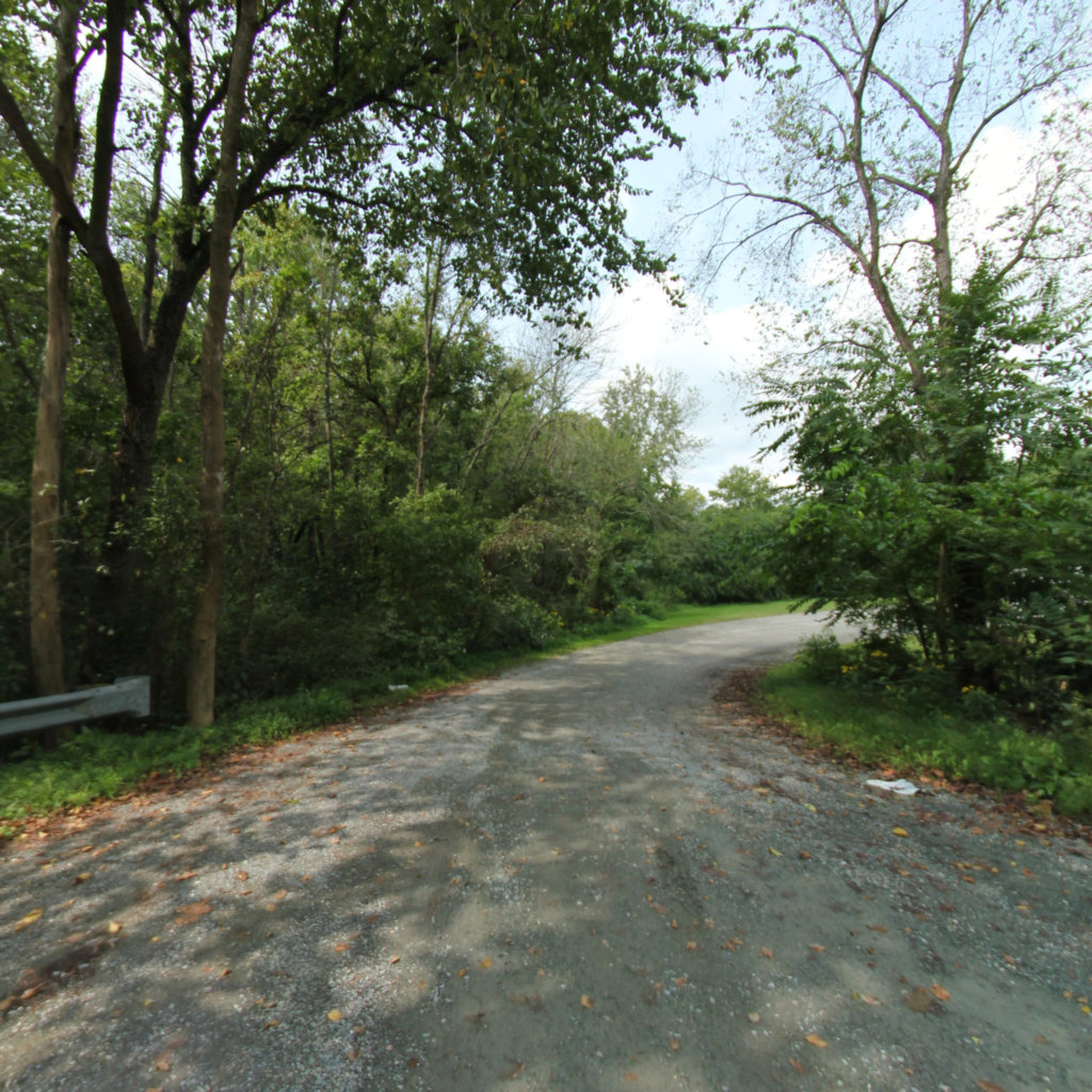
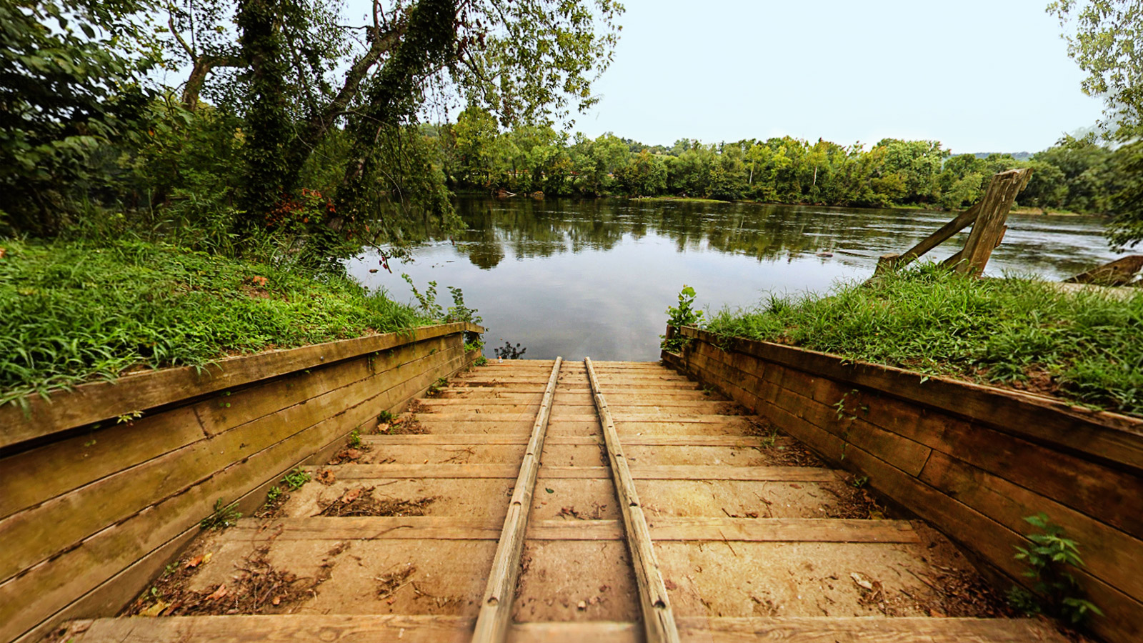
Deep Bottom is a relatively deep water landing on the James River (thus the name Deep Bottom) about 30 miles up river from the Chesapeake Bay and 11 miles from Richmond. Just southeast of the capital city of Richmond, find escape into nature along the James and enjoy the pastoral landscapes and history of the the area.