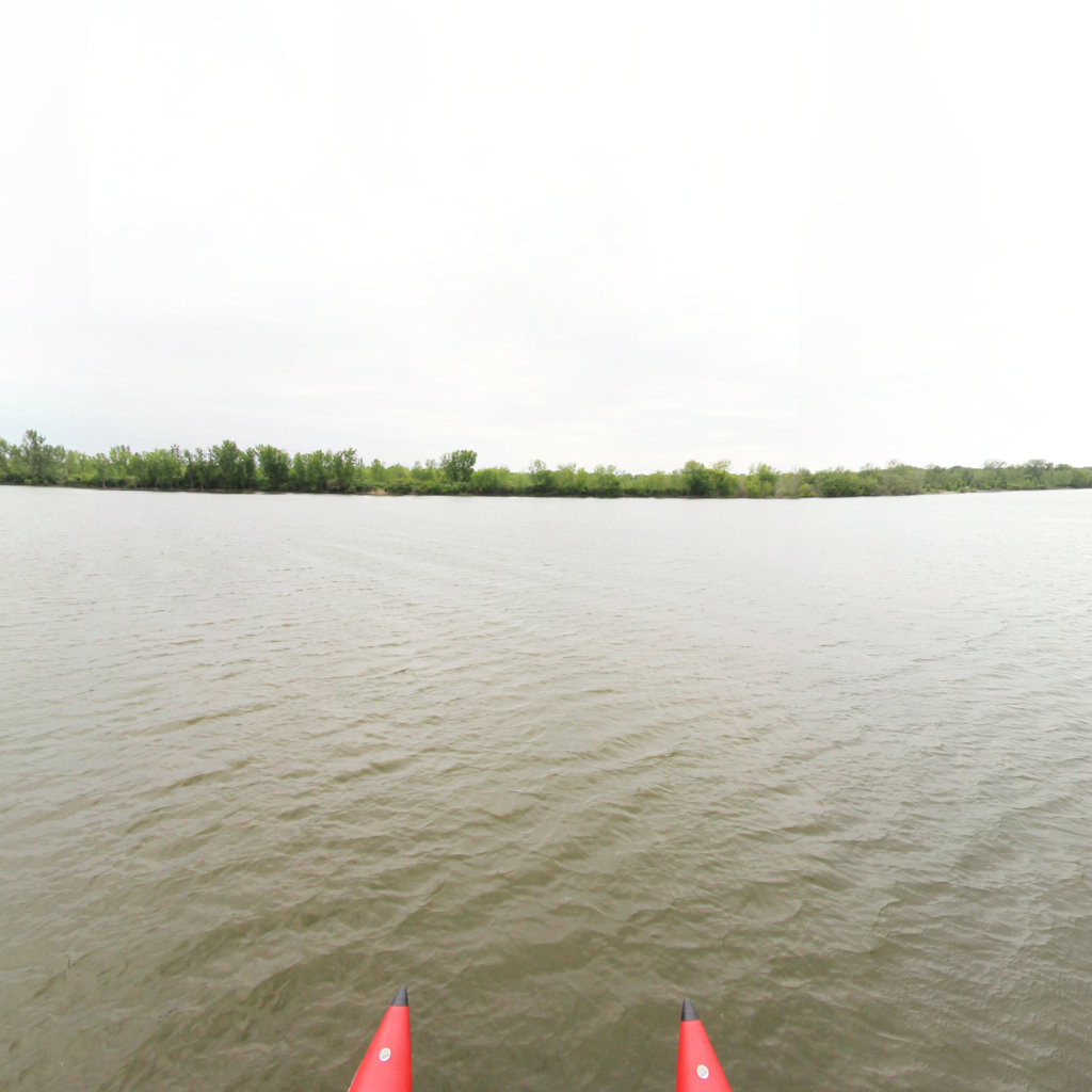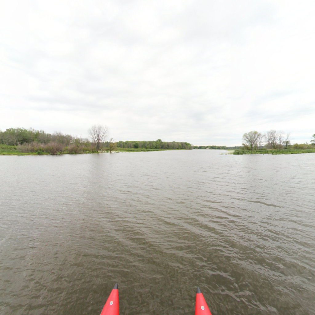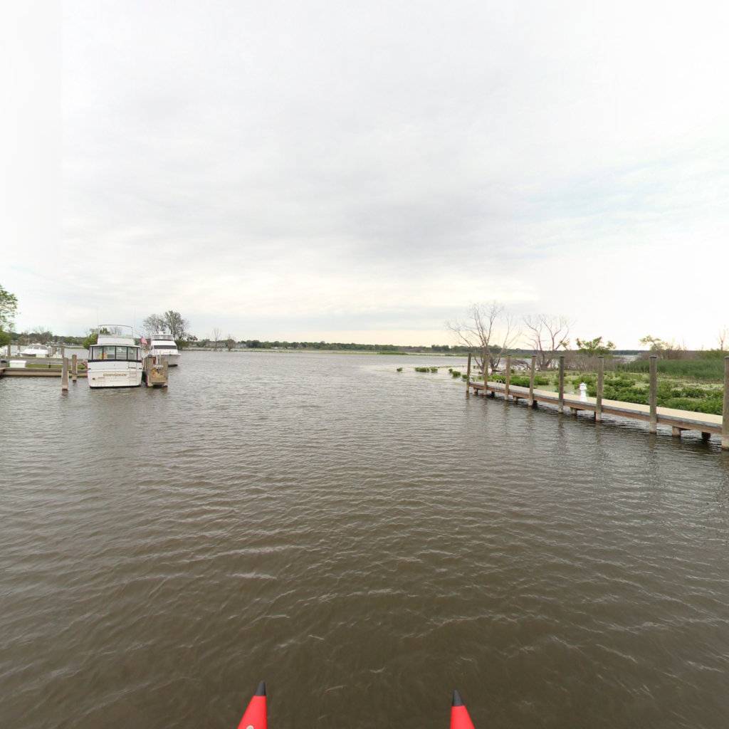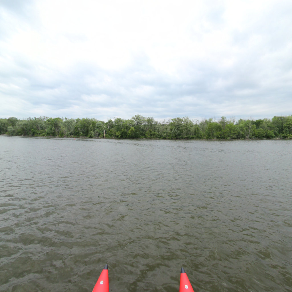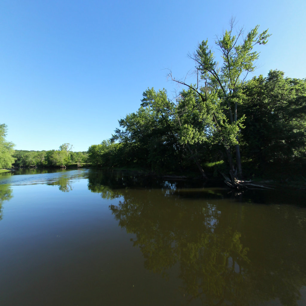
Lower Grand River
Connecting Water with Life
Project Partners

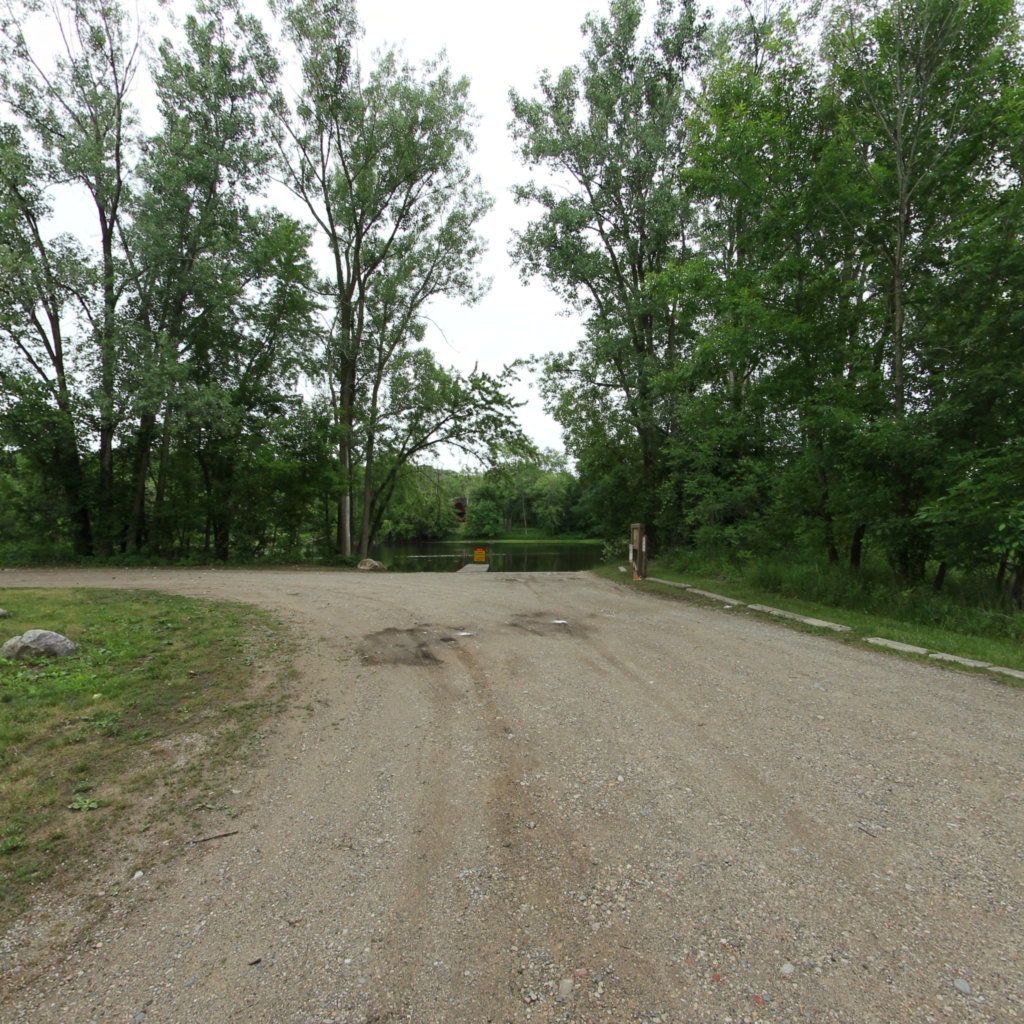
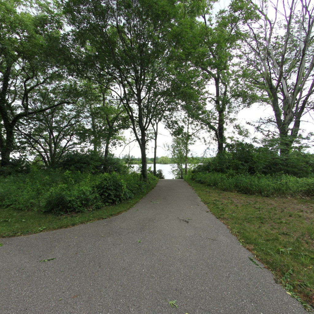
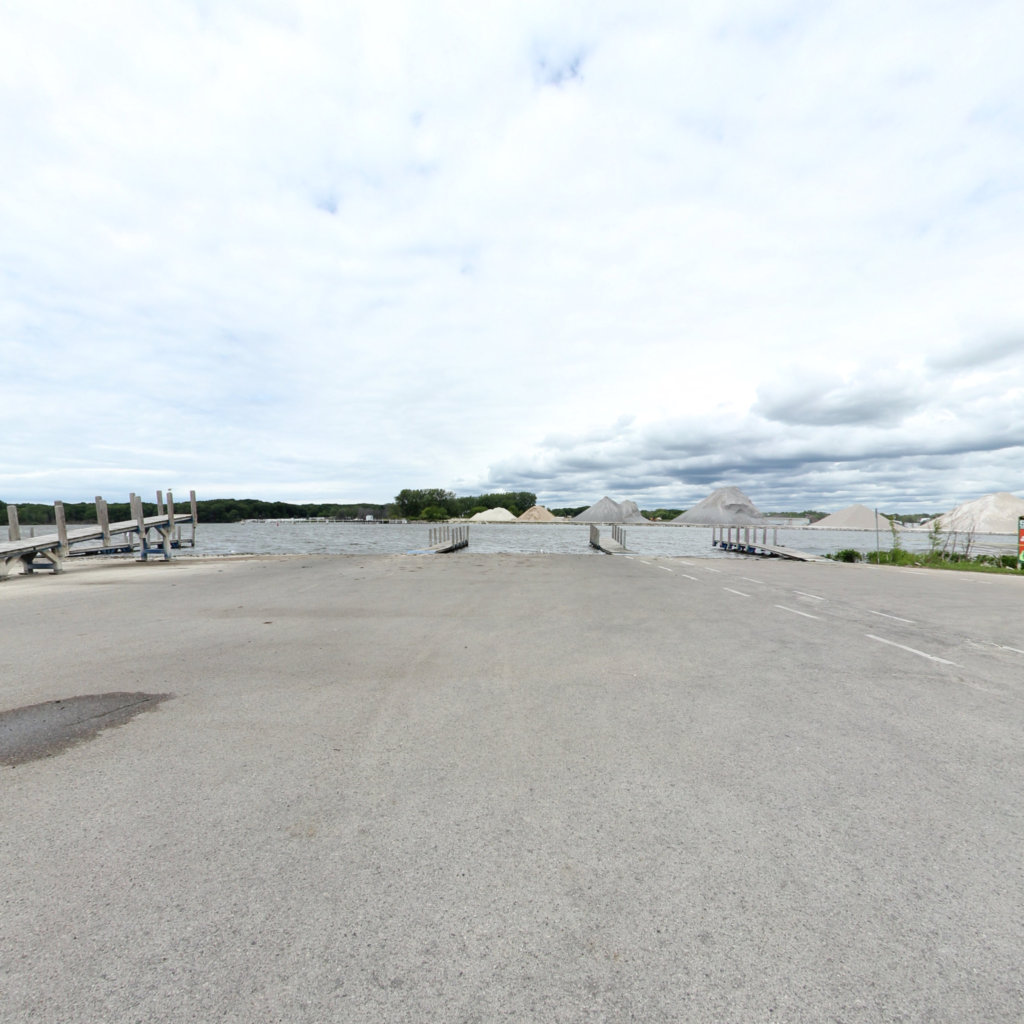
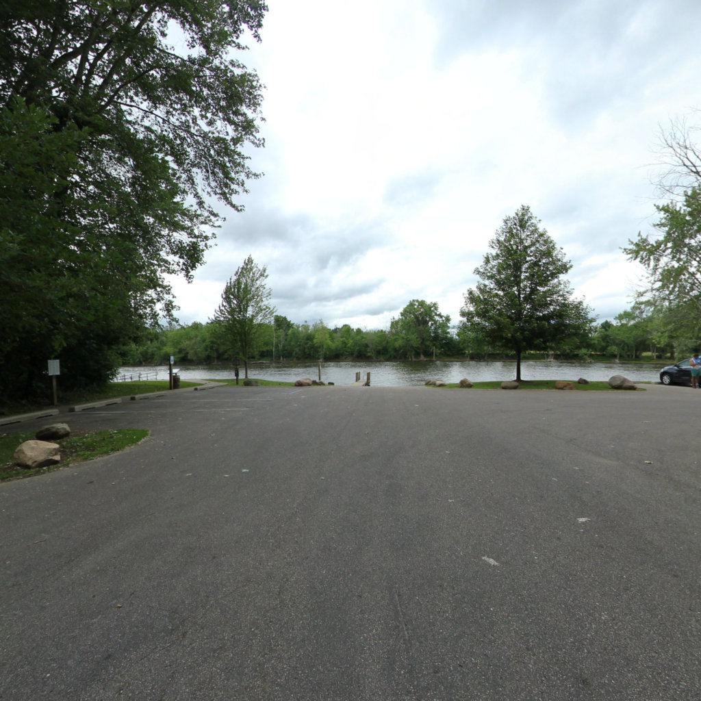
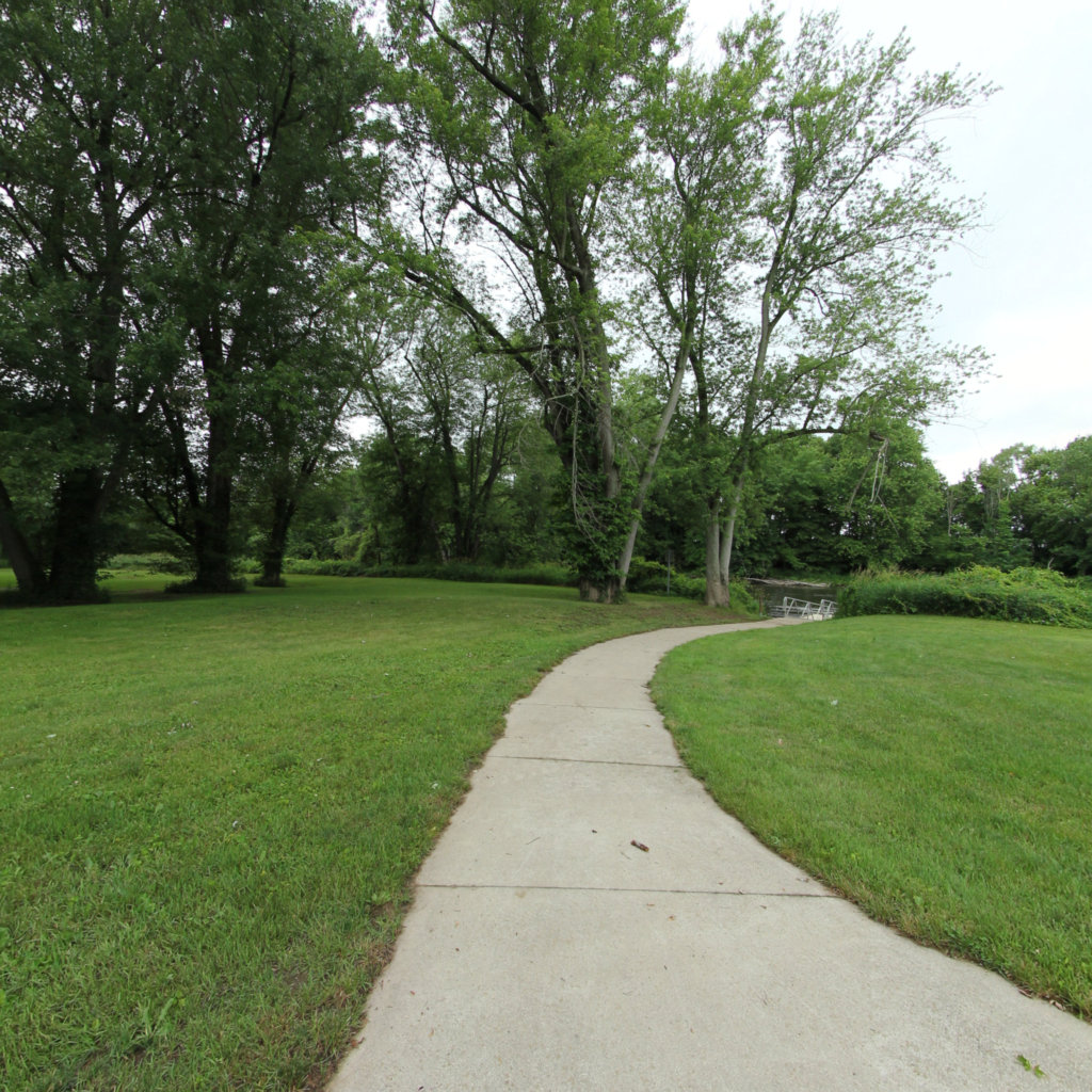
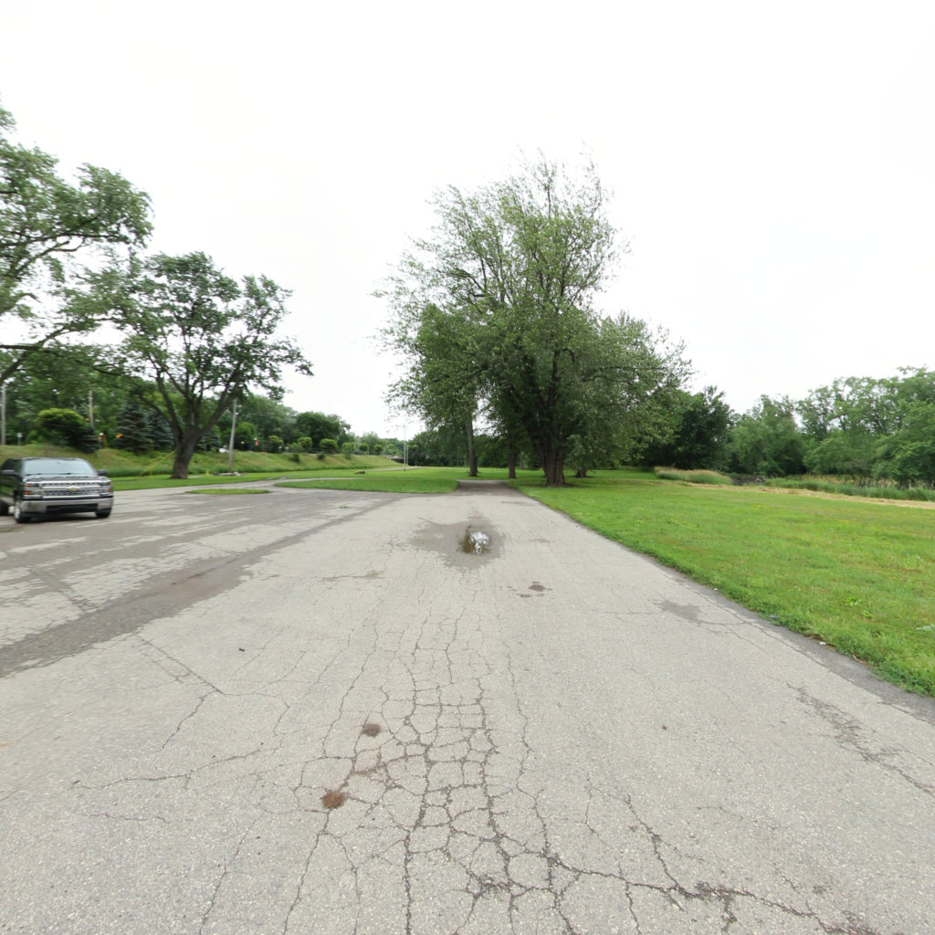
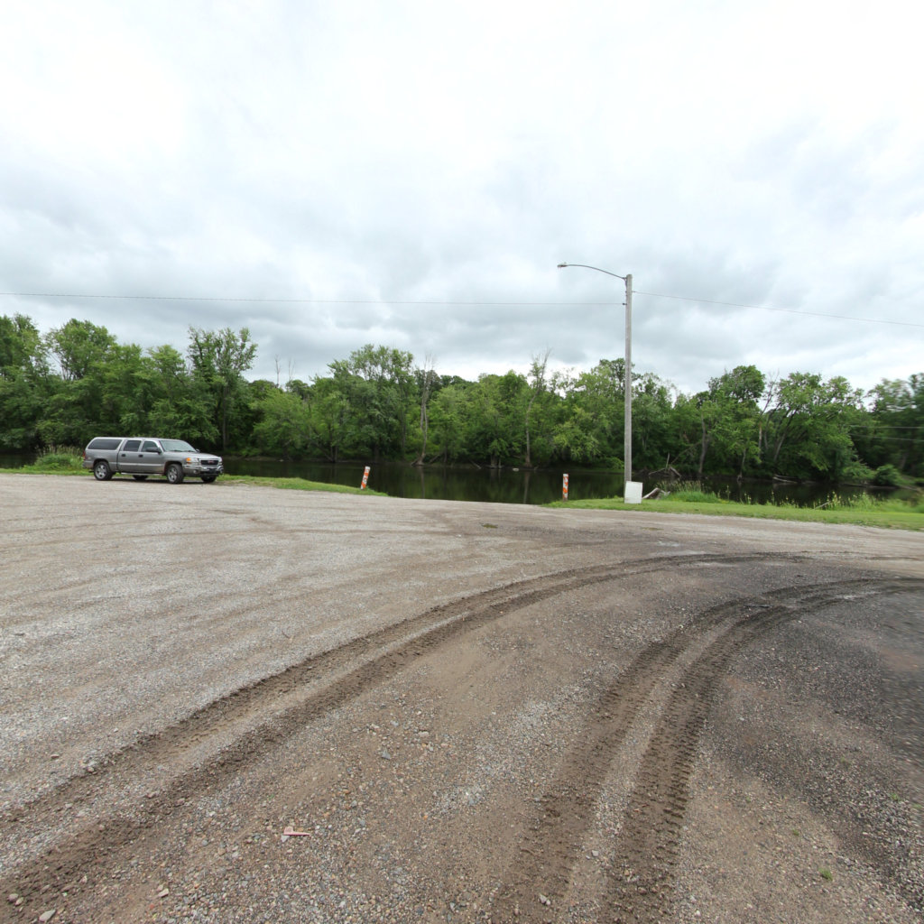
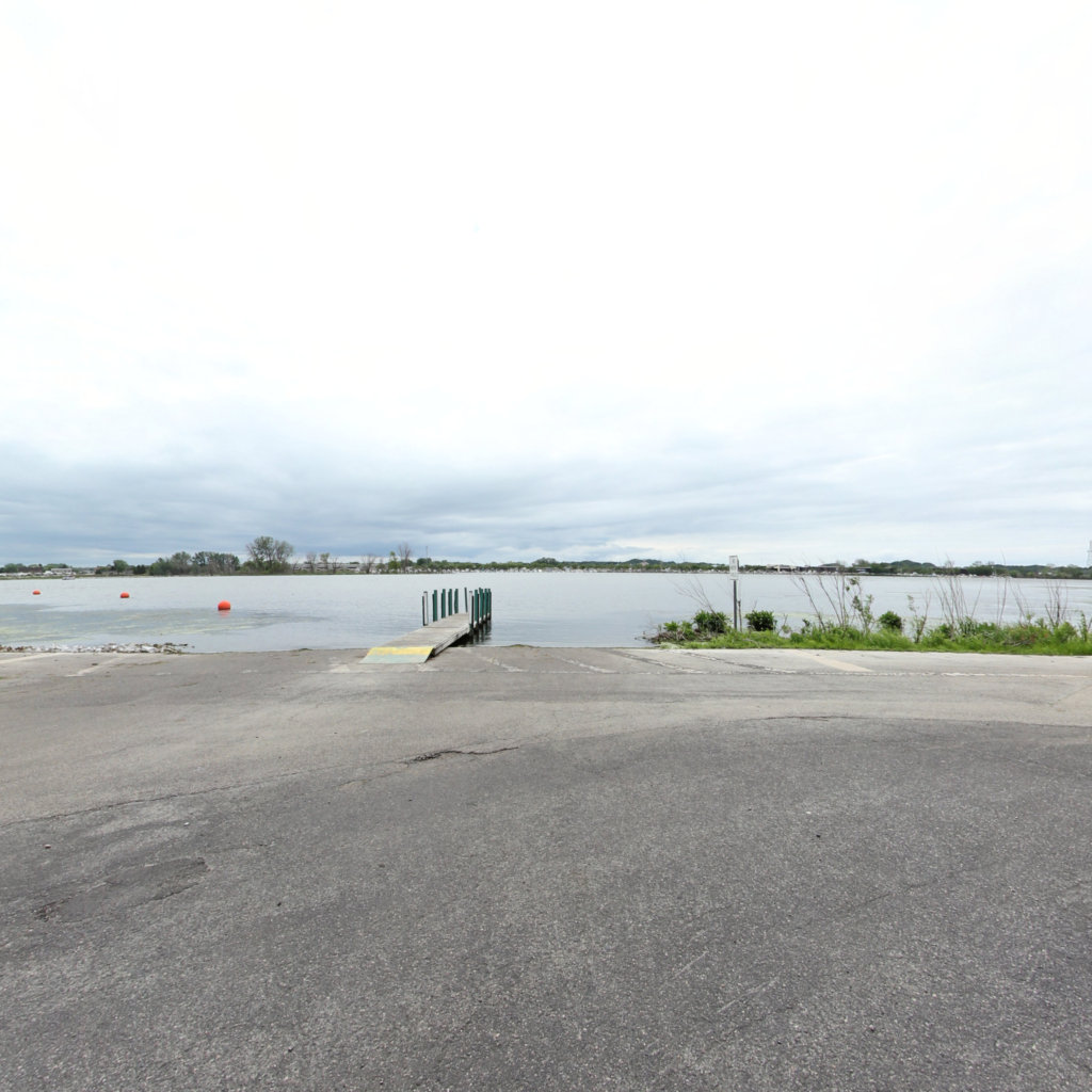
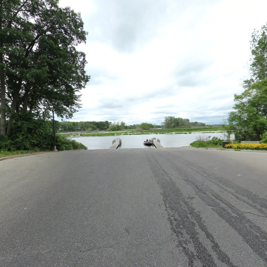
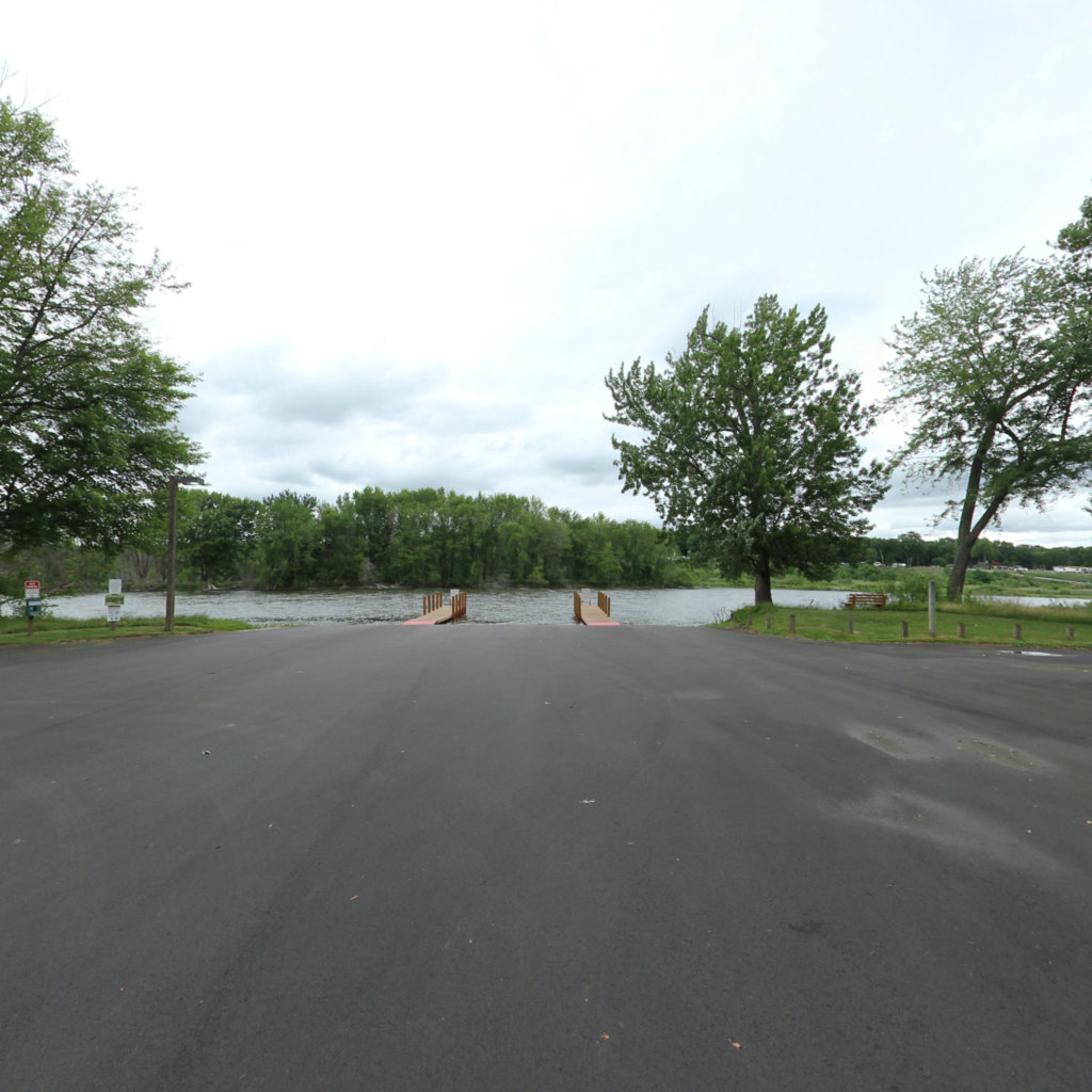
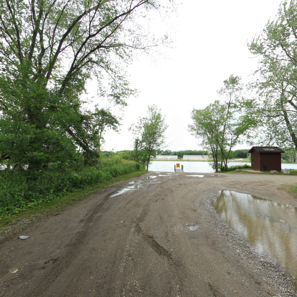
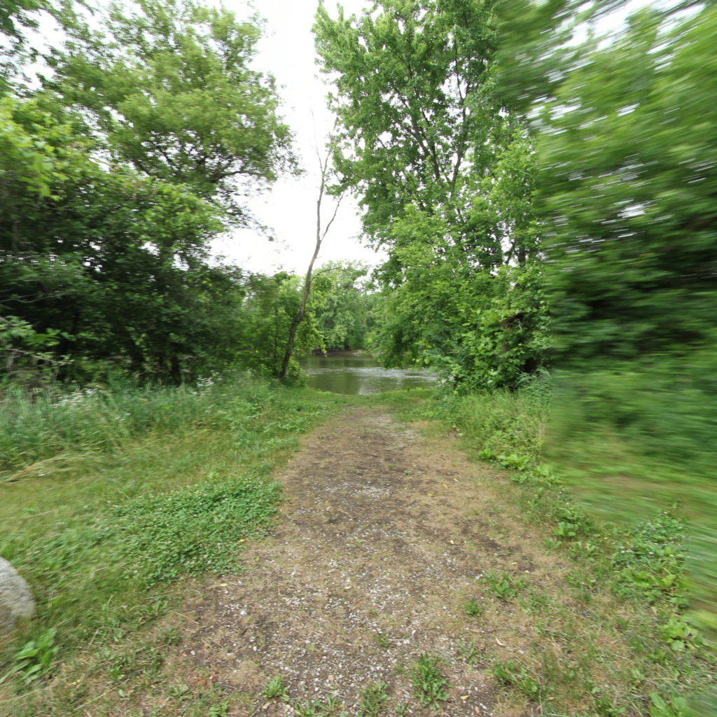
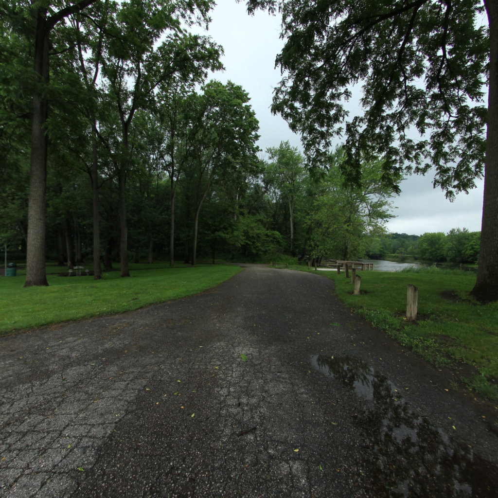
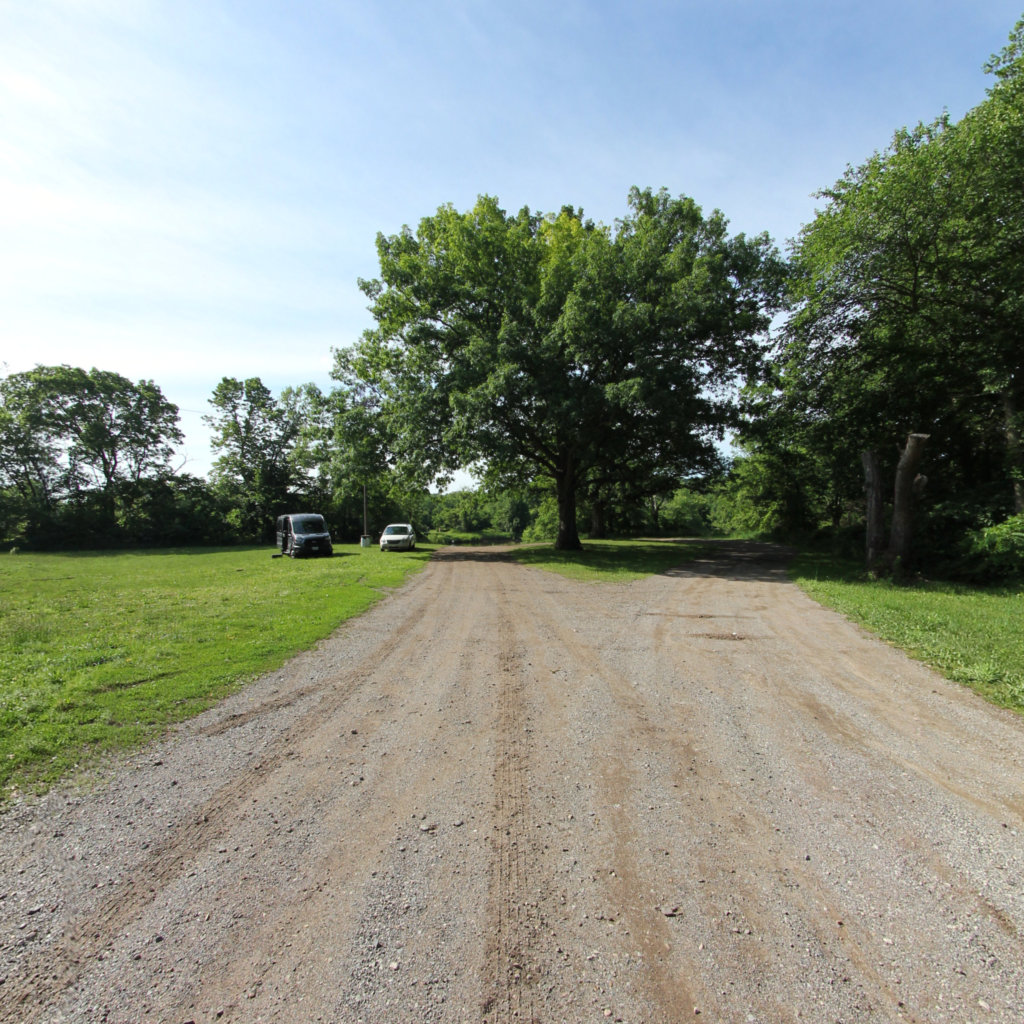
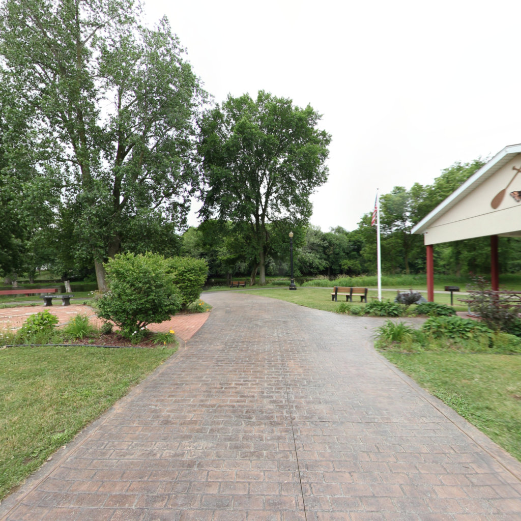
Click on any trail to explore in 360°
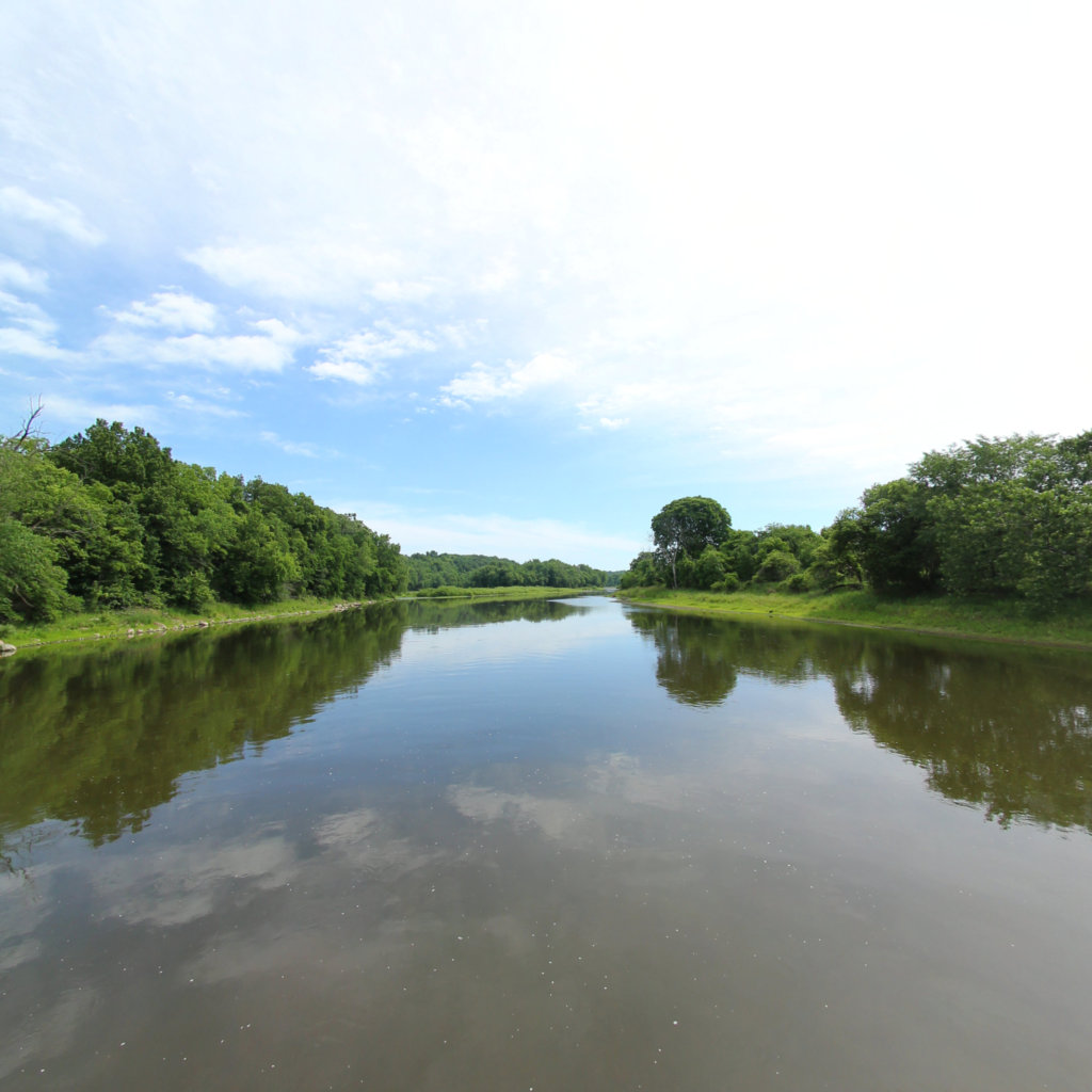
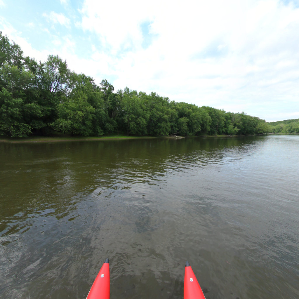
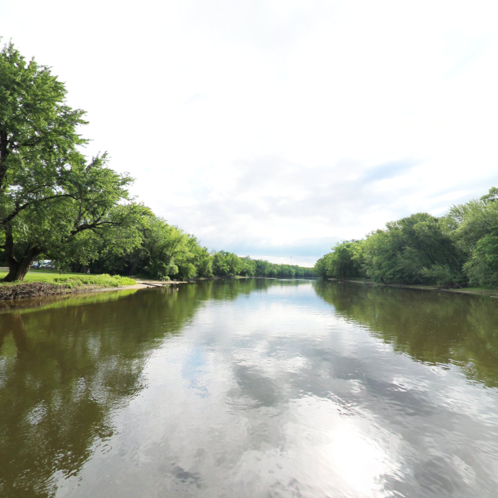
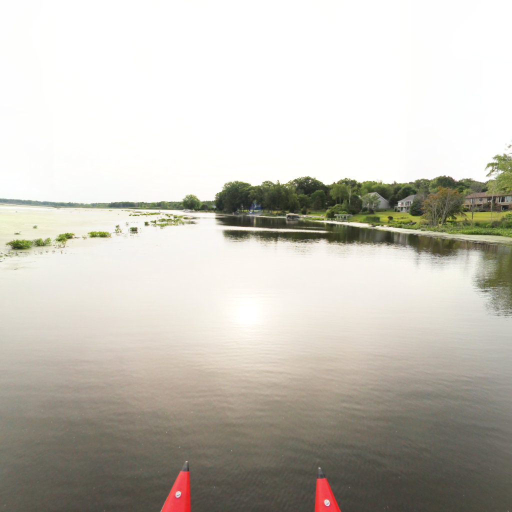
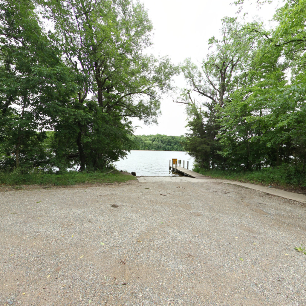
Enjoy a scenic float down the longest stretch of undammed water on the Grand River.

OTTAWA COUNTY, Mich. — A man from Richmond, Virginia is bringing his technology and skill set to West Michigan to show a perspective of the Grand River unlike any that's ever been seen before.
Contact Wendy Ogilvie at the Grand Valley Metro Council
wendy.ogilvie@gvmc.org
At Terrain360™, our website's dark mode design enhances the user experience on mobile devices, laptops, and tablets, while also aiding in battery conservation and reducing carbon footprint. This is especially beneficial for devices with OLED and AMOLED screens, which are common in modern technology and more energy-efficient when displaying darker colors.