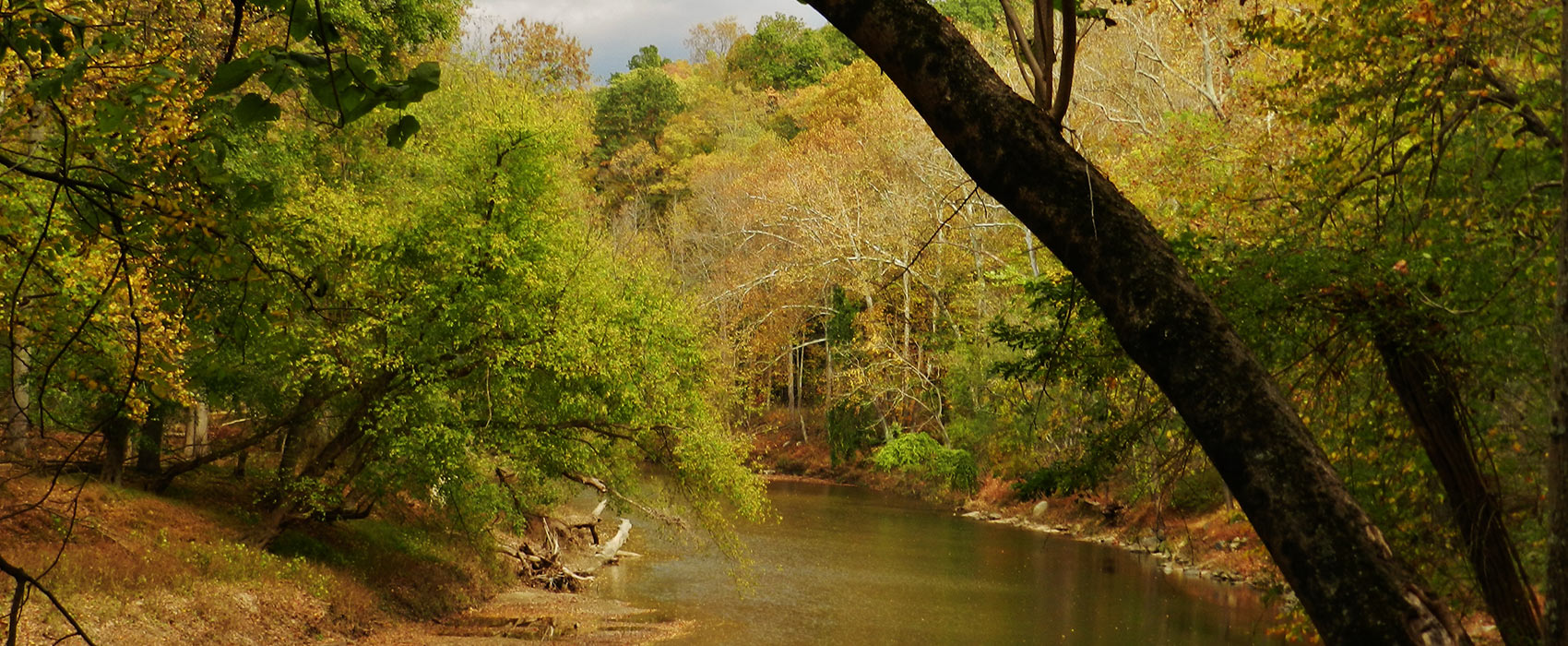
The Patapsco River is a 39-mile-long (63 km) river in central Maryland which flows into the Chesapeake Bay. The river's tidal portion forms the harbor for the city of Baltimore. With its South Branch, the Patapsco forms the northern border of Howard County, Maryland. The name "Patapsco" is derived from the Algonquian pota-psk-ut, which translates to "backwater" or "tide covered with froth." The Patapsco has a watershed area (including the water surface) of 680 square miles (1,760 km2 ), or 632 square miles (1,637 km2 ) of land. Thus, its total watershed area is 7% water.
The Patapsco proper begins at the confluence of the North and South Branches, near Marriottsville, approximately 15 miles (24 km) west of downtown Baltimore. The 19.4-mile-long (31.2 km) South Branch rises further west at Parrs Spring, where Howard County, Carroll, Frederick, and Montgomery counties meet. The North Branch flows 20.9 miles (33.6 km) southward from its origins in Carroll County. Through most of its length, the Patapsco is a minor river, flowing for the most part through a narrow valley. The last 10 miles (16 km), however, form a large tidal estuary inlet of Chesapeake Bay. The inner part of this estuary provides the harbor of Baltimore, composed of the Northwest Harbor and the Middle Branch including Thoms Cove. The Patapsco estuary is south of the Back River and north of the Magothy River.
The Inner Harbor is a historic seaport, tourist attraction, and landmark of the city of Baltimore, Maryland, USA. It was described by the Urban Land Institute in 2009 as “the model for post-industrial waterfront redevelopment around the world.” The Inner Harbor is located at the mouth of Jones Falls, creating the wide and short northwest branch of the Patapsco River. The district includes any water west of a line drawn between the foot of President Street and the American Visionary Art Museum.

