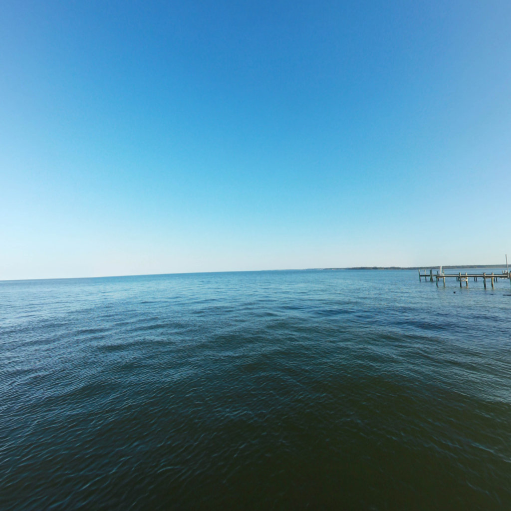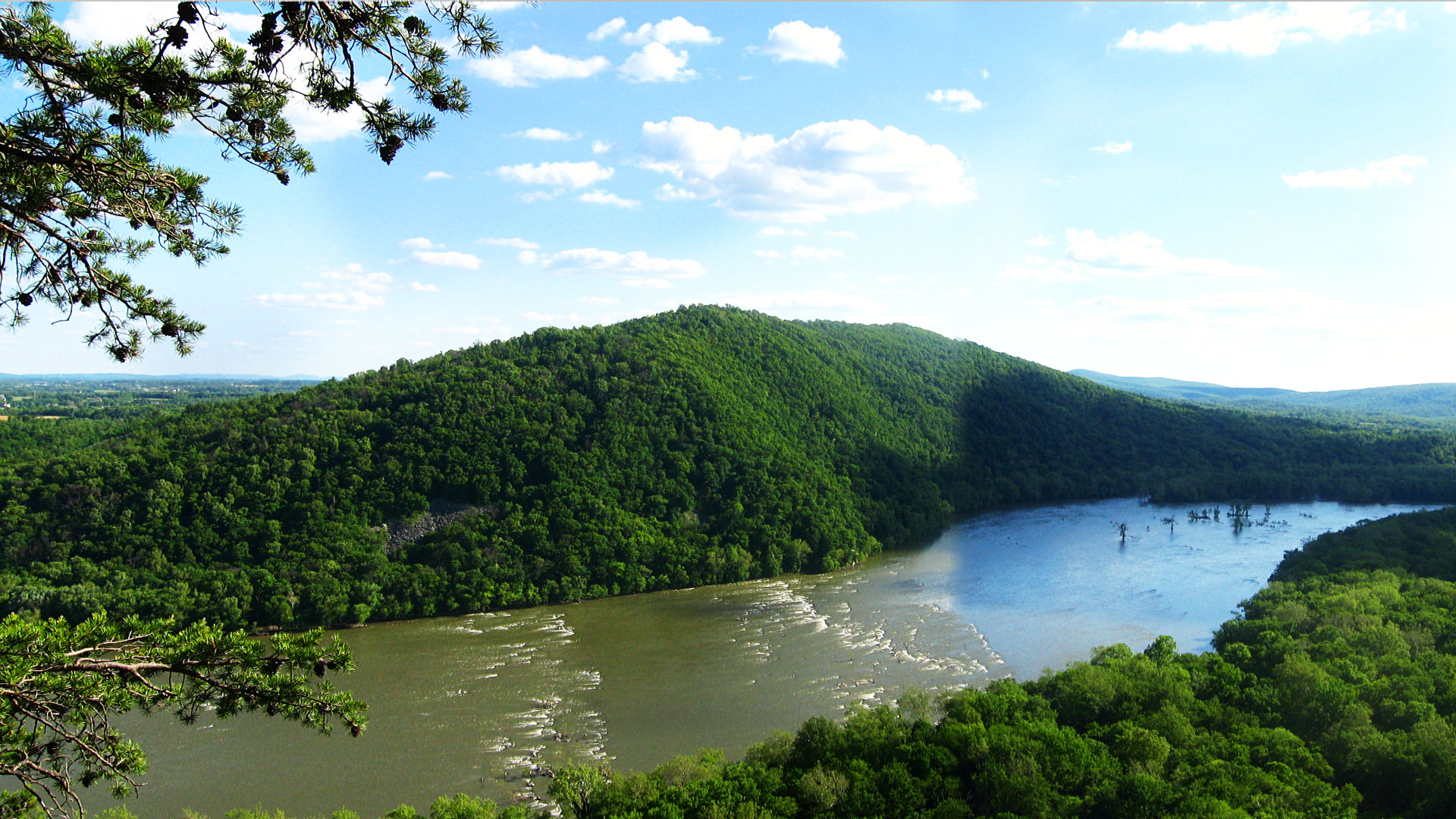
Potomac River
Nation's River
Project Partners

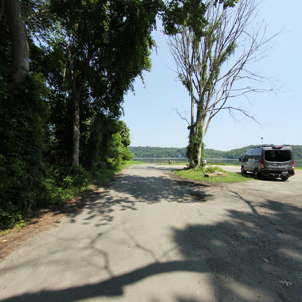
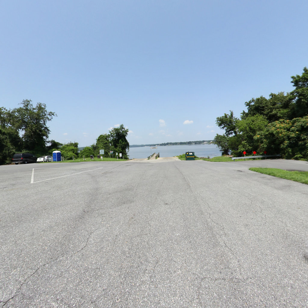
Click on any trail to explore in 360°
Take a tour through the wilderness and stunning views of Upper Potomac River.
Chesapeake Conservancy
Jody Couser
info@chesapeakeconservancy.org
716 Giddings Avenue Suite 42
Annapolis, MD 21401
(443) 321 3610

Georeferenced 360° documentation for trails, rivers, and outdoor assets. Trusted by federal and state land managers.