Rappahannock River
The Longest Free-flowing River in the Chesapeake Bay Watershed
Project Partners


Click on any trail to explore in 360°
7 Segments
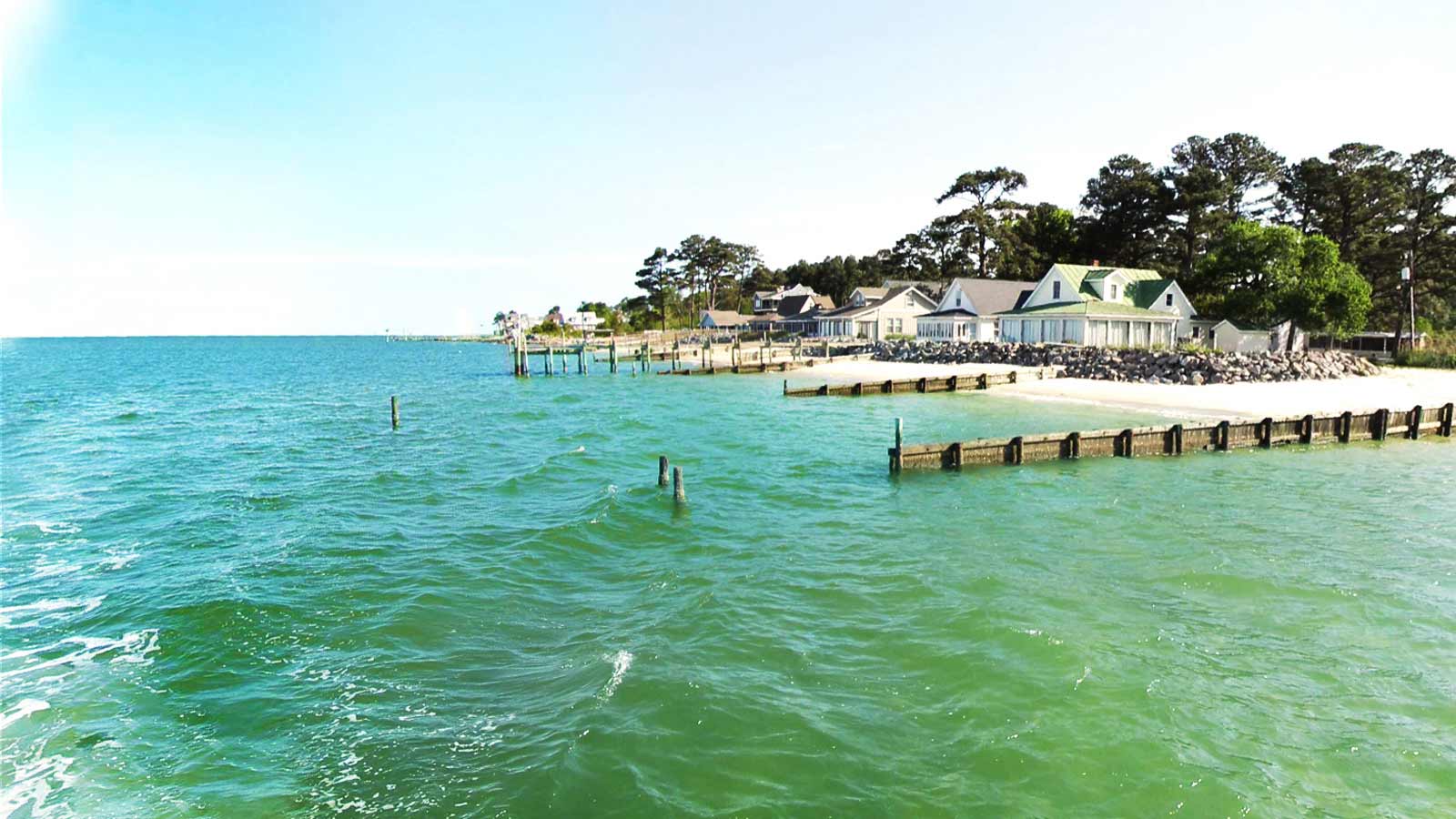
From the oldest town in Essex County Tappahannock to Deltaville, former wooden boatbuilding capital of the Chesapeake Bay!
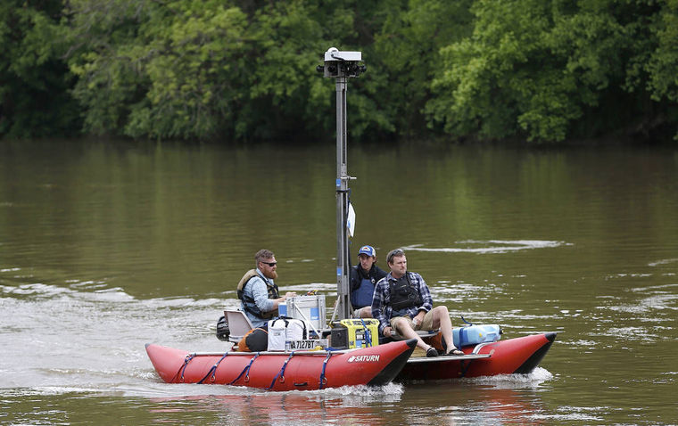
A quirky-looking craft launched at Fredericksburg’s City Dock Monday will soon give people a virtual tour of the Rappahannock River.
Read More: http://www.fredericksburg.com/news/local/fredericksburg/capt-john-smith-s-trail-gets-virtual-update/...
Chesapeake Conservancy
Jody Couser
info@chesapeakeconservancy.org
716 Giddings Avenue Suite 42
Annapolis, MD 21401
(443) 321 3610

At Terrain360™, our website's dark mode design enhances the user experience on mobile devices, laptops, and tablets, while also aiding in battery conservation and reducing carbon footprint. This is especially beneficial for devices with OLED and AMOLED screens, which are common in modern technology and more energy-efficient when displaying darker colors.


