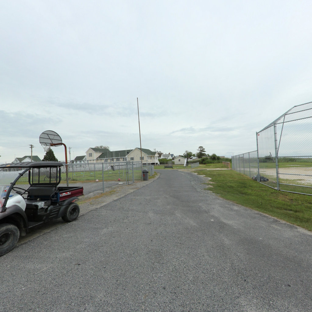
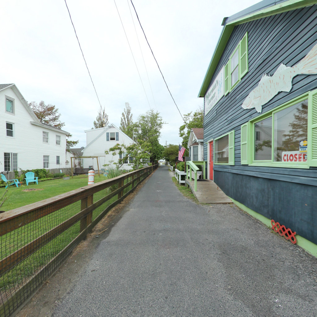
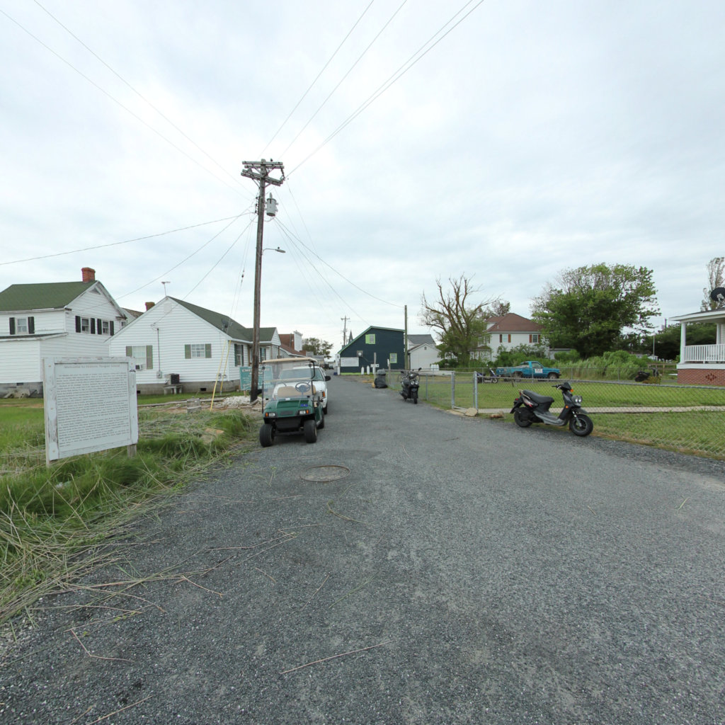
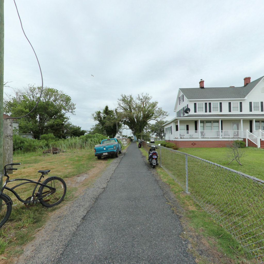
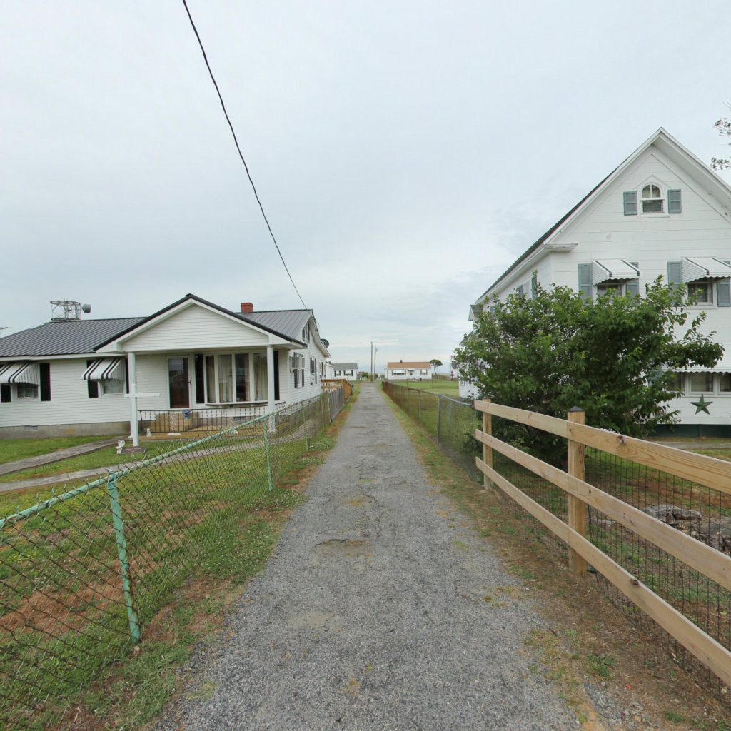
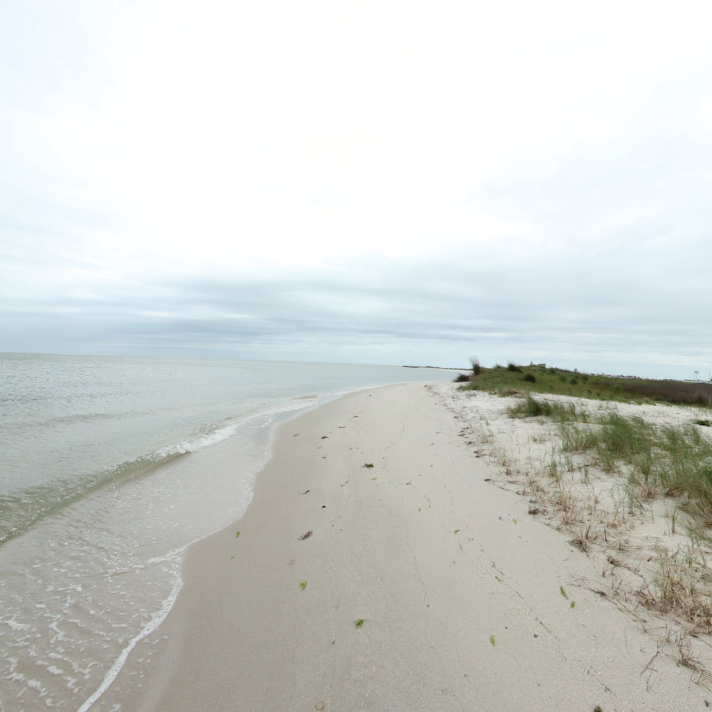
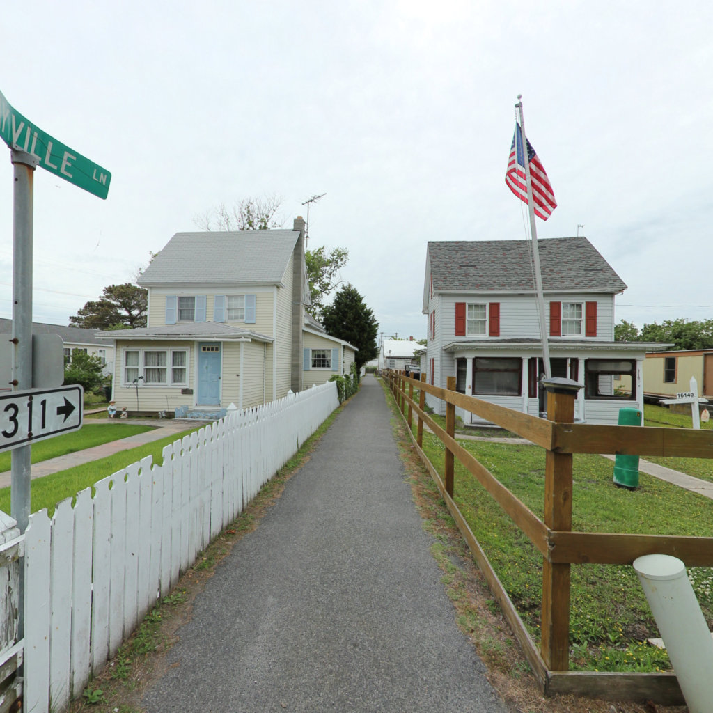
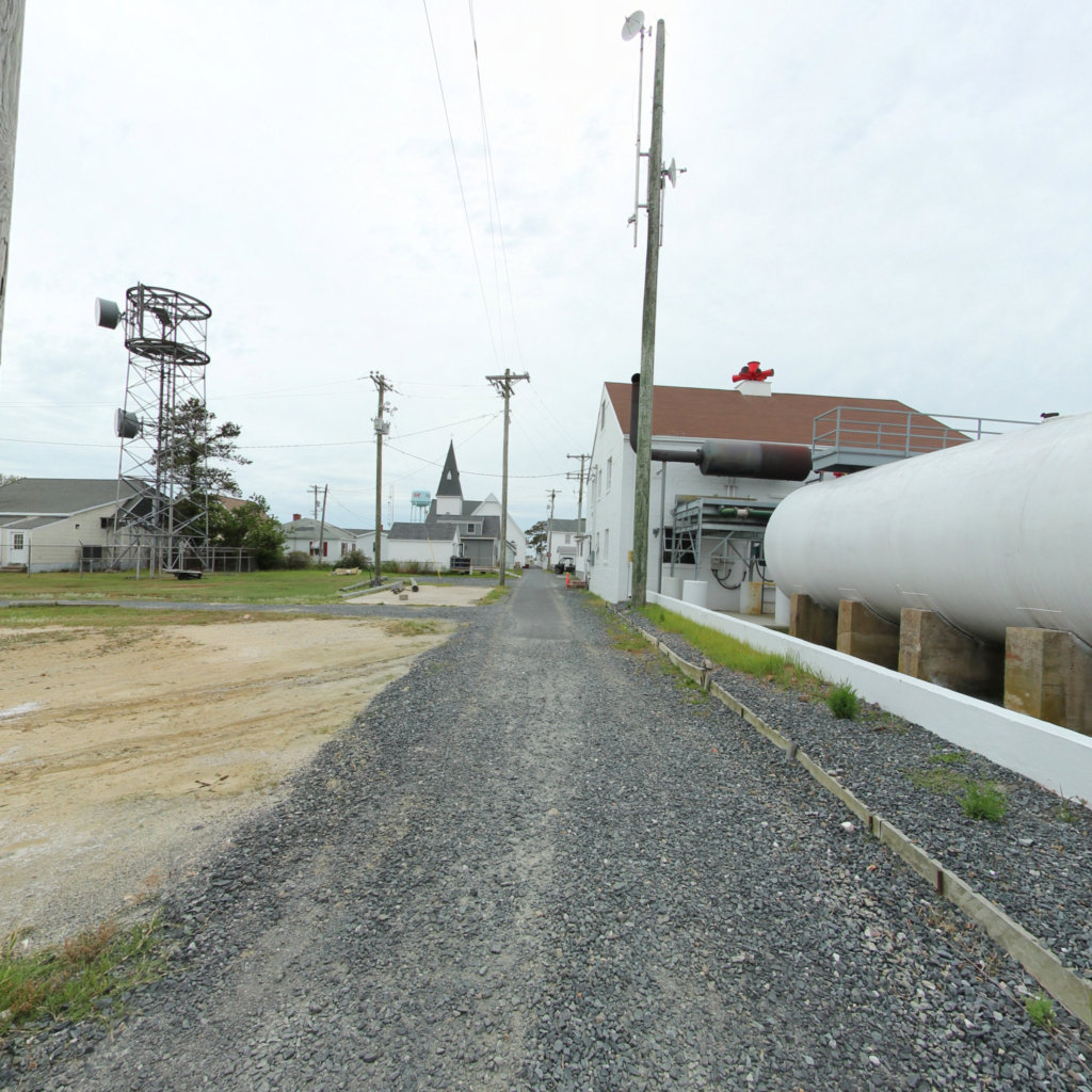
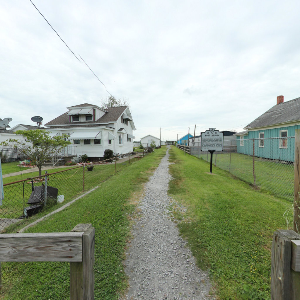
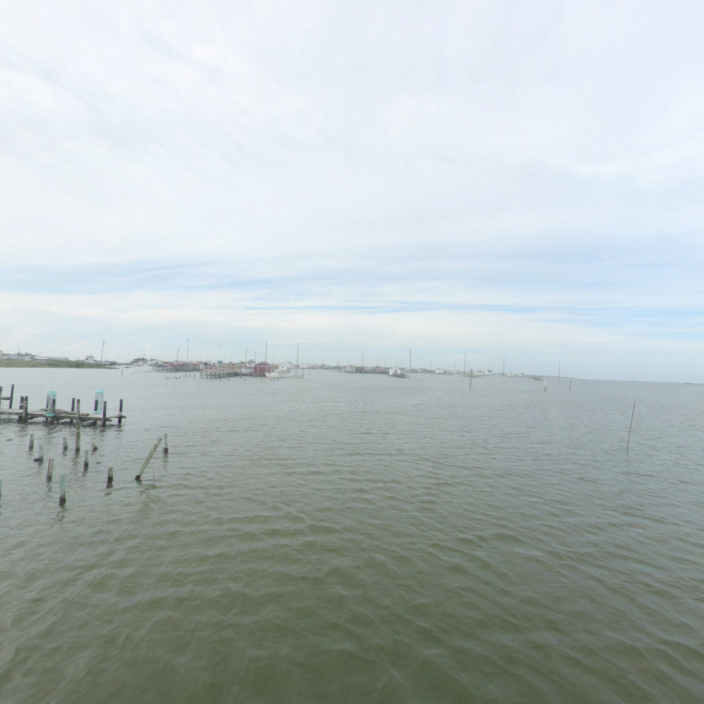
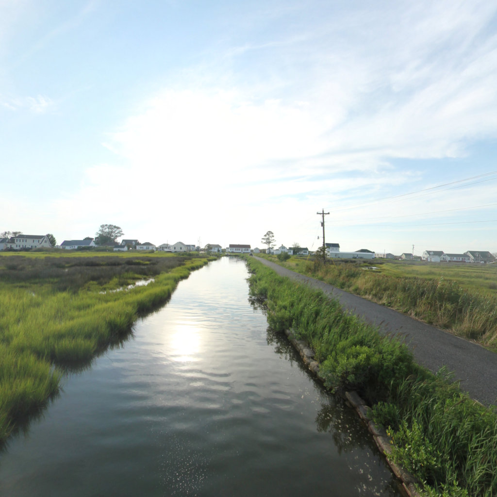
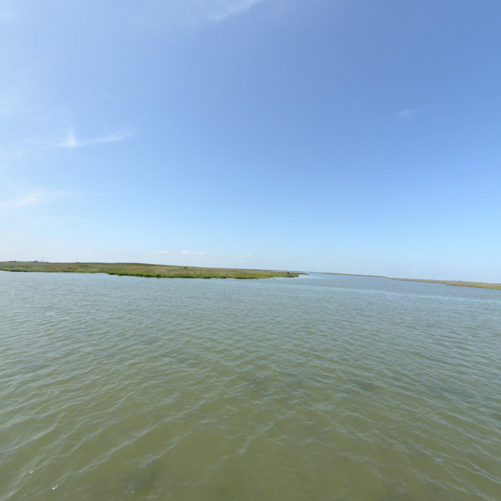
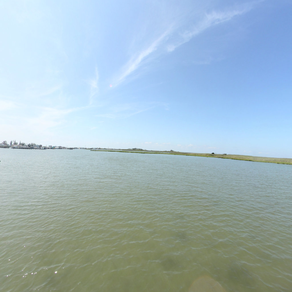
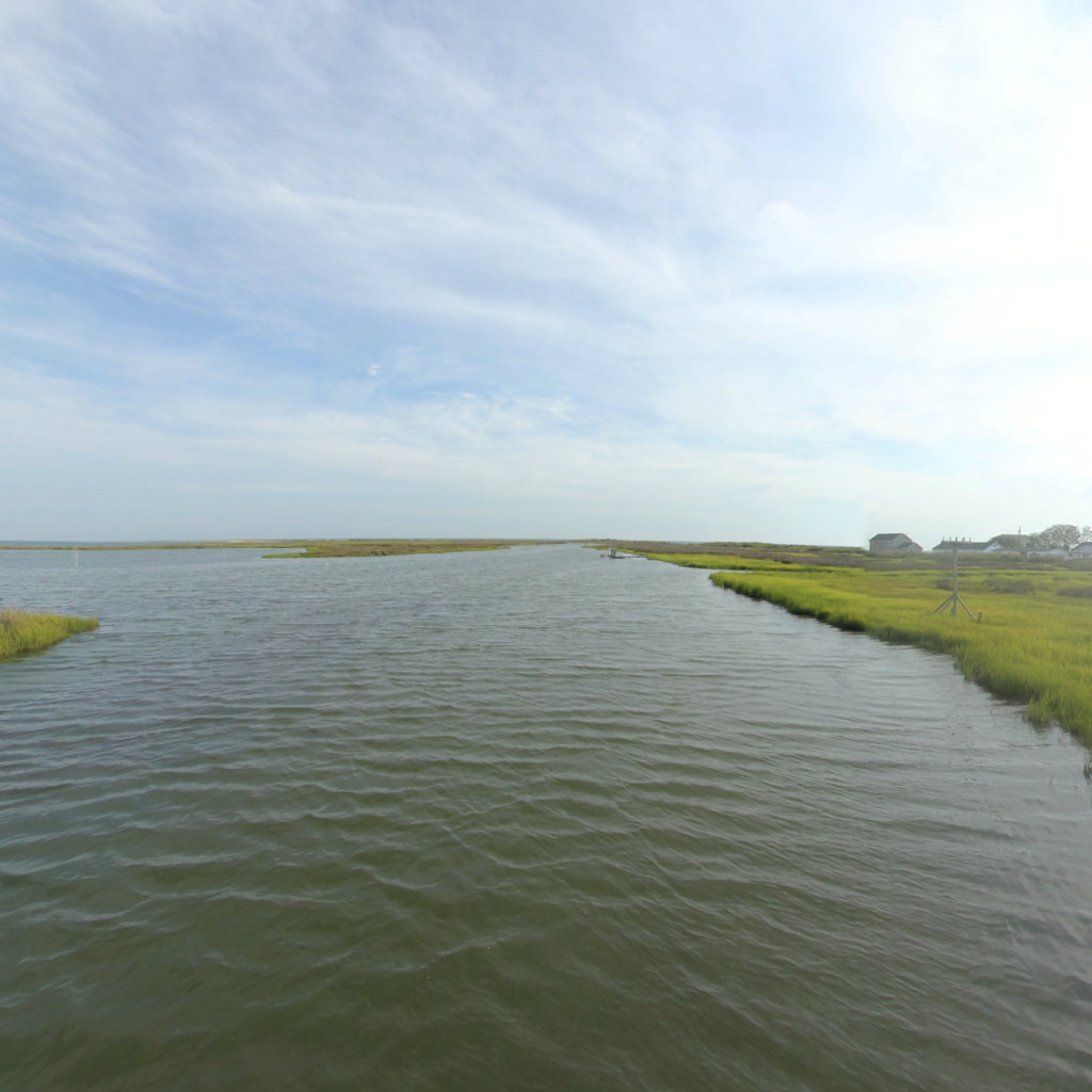
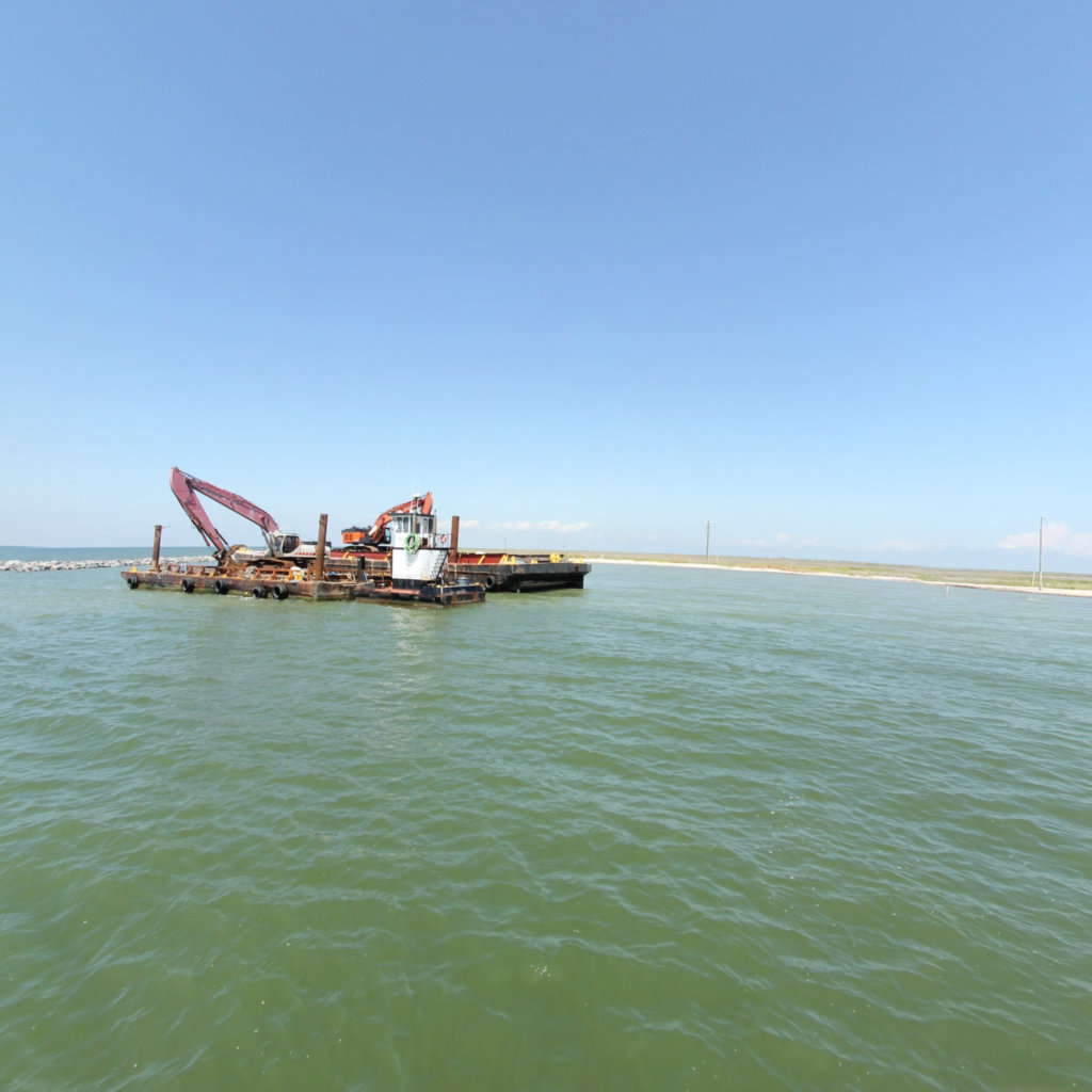
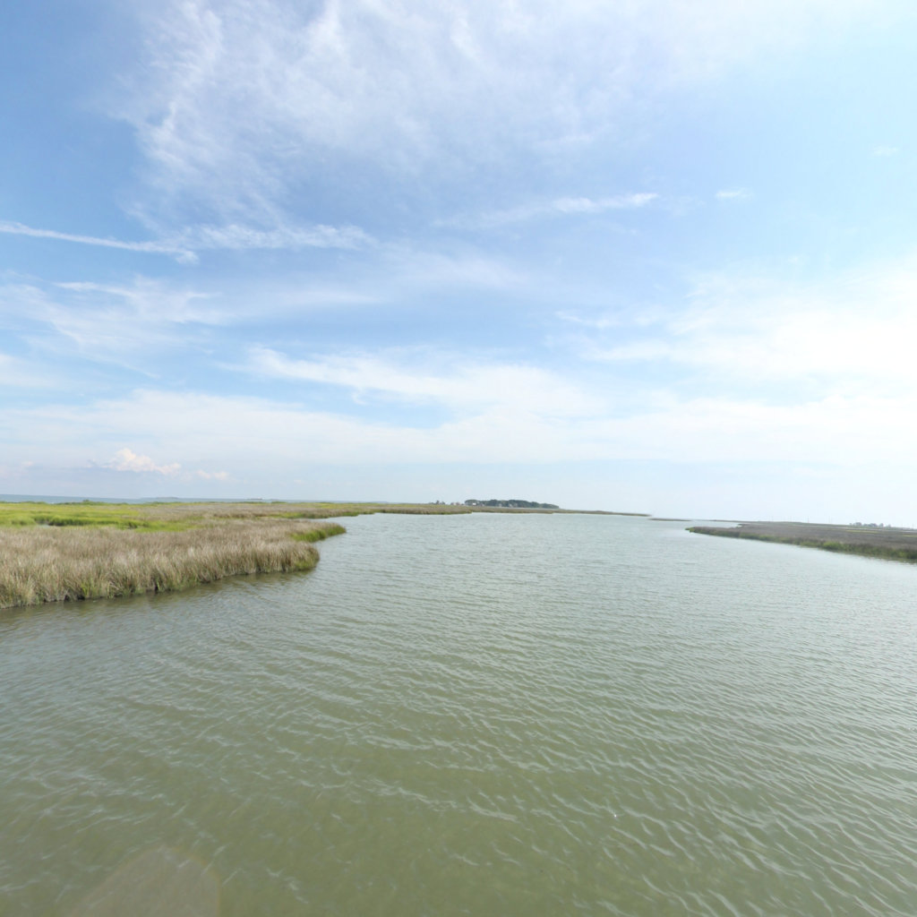
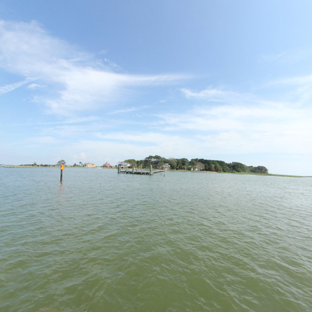
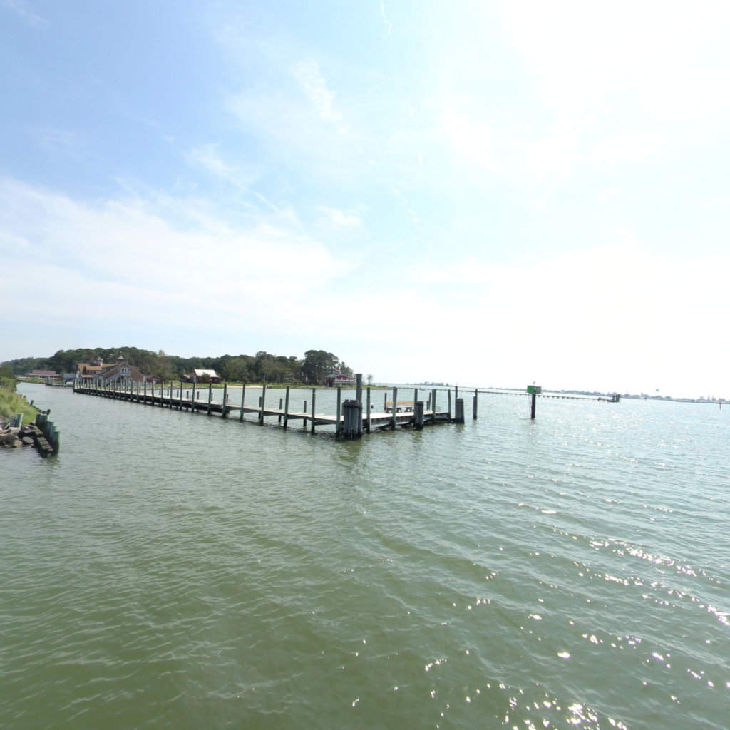
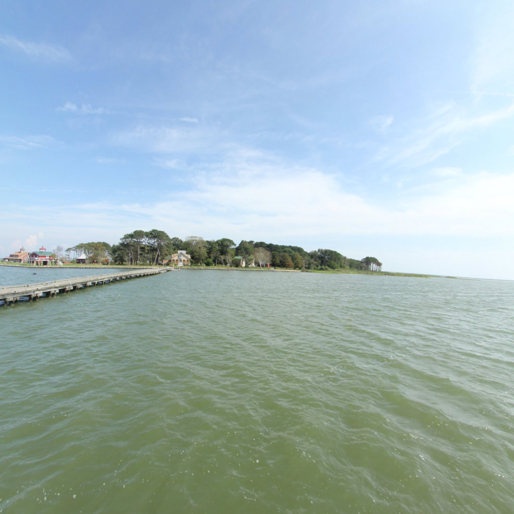
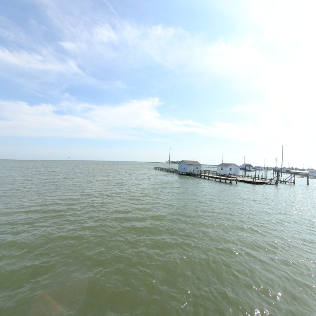
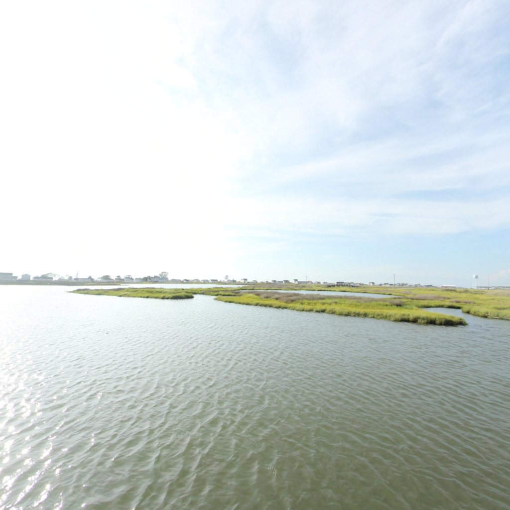
Tangier Island
A Disappearing Treasure
Project Partners

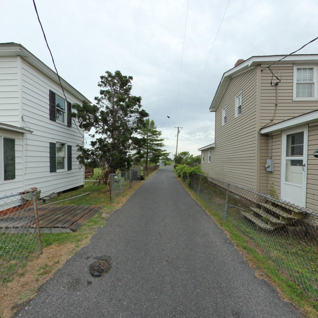
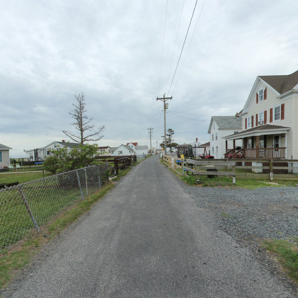
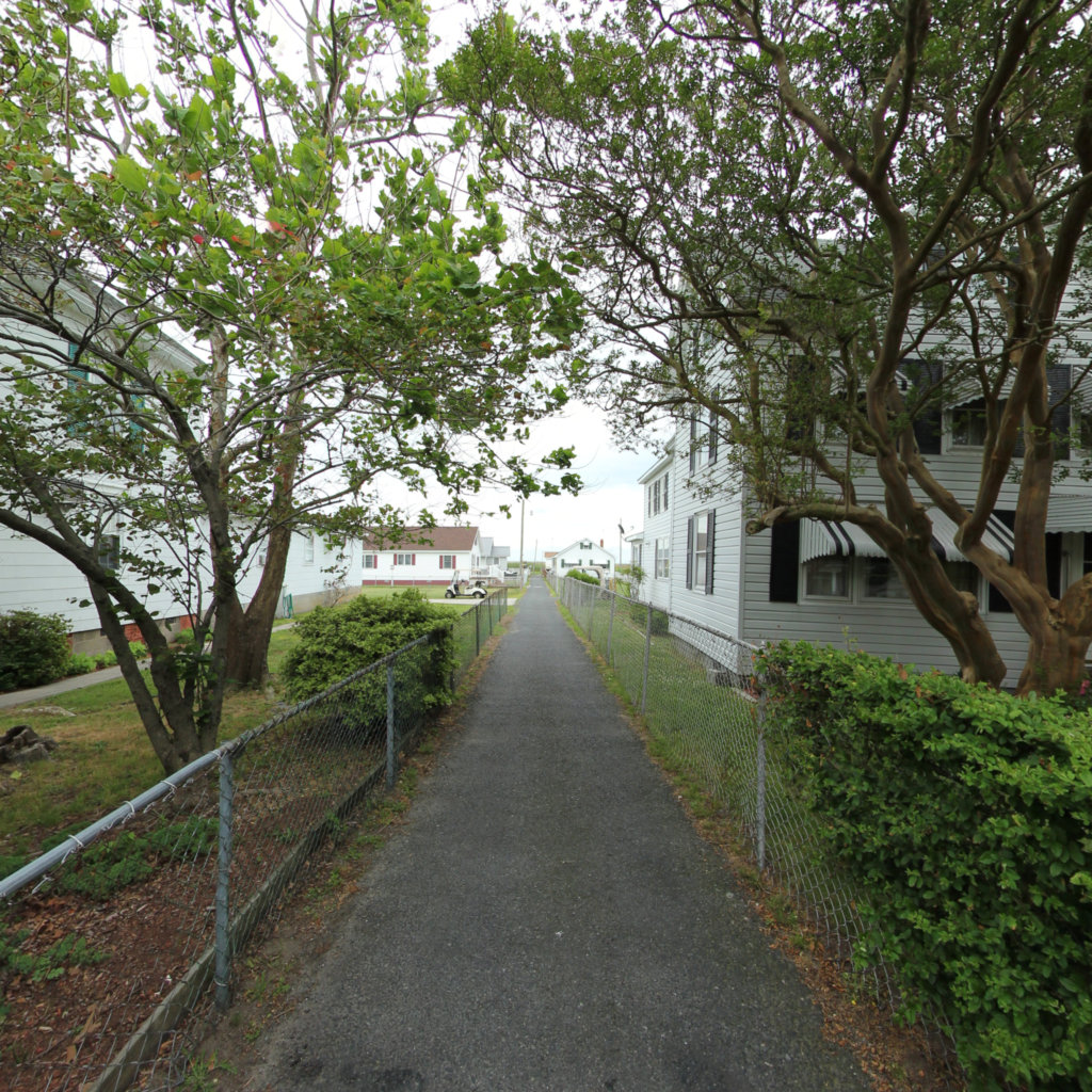
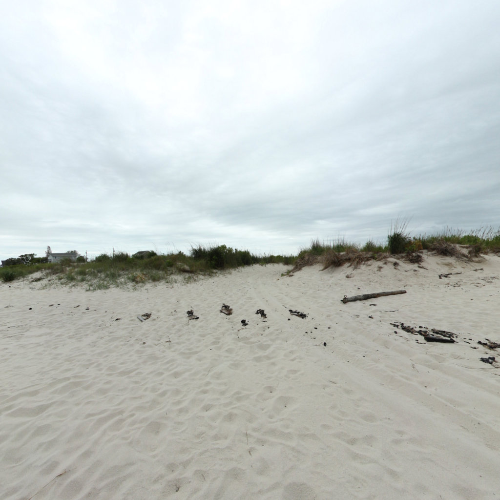
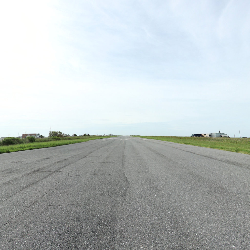
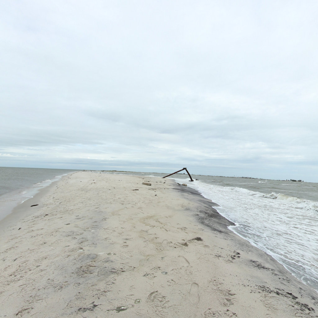
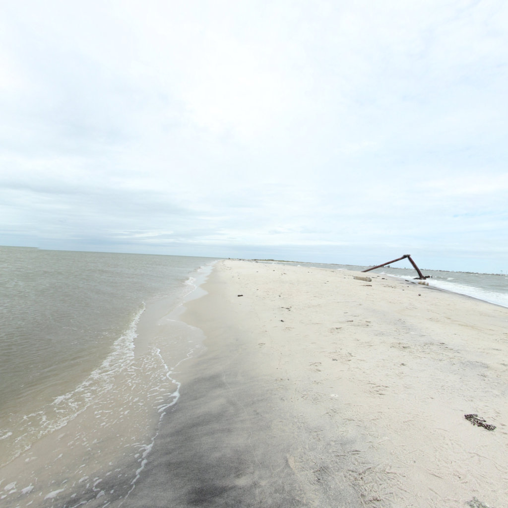
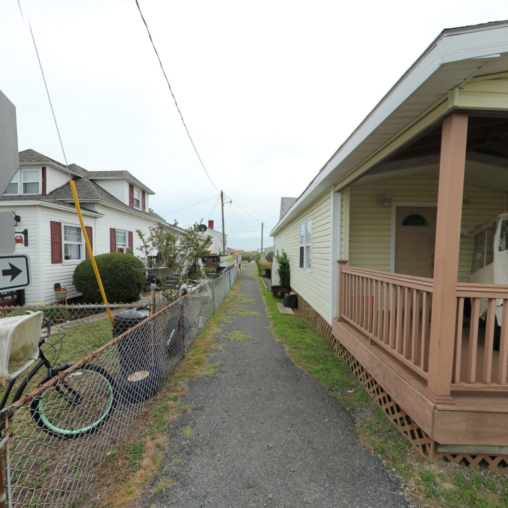
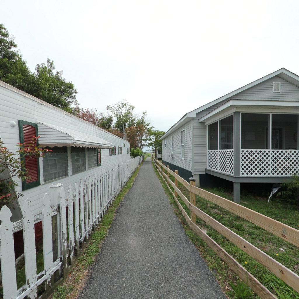
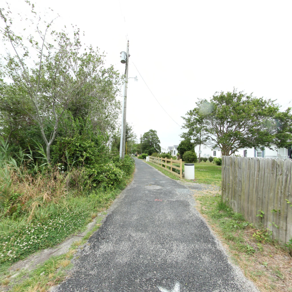
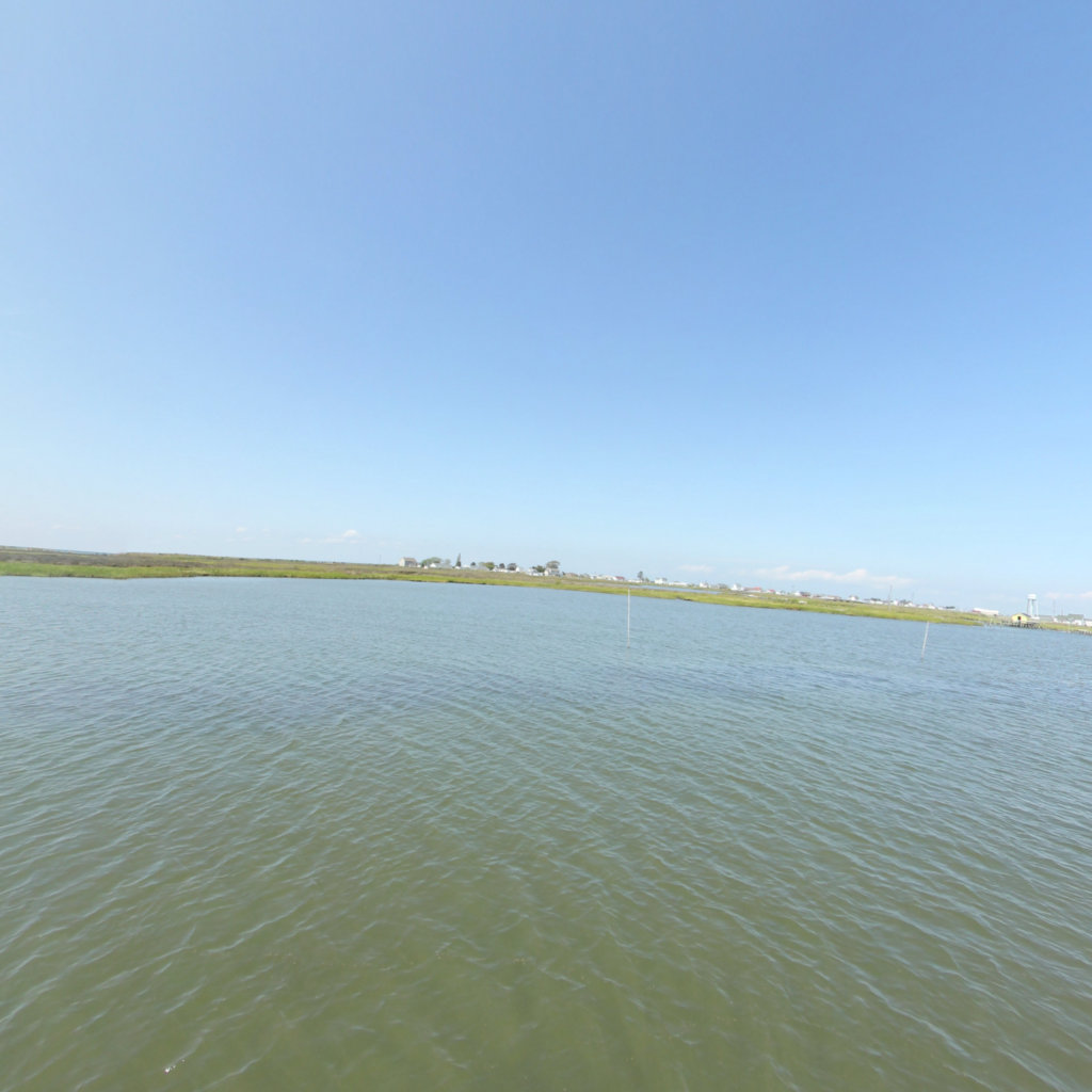
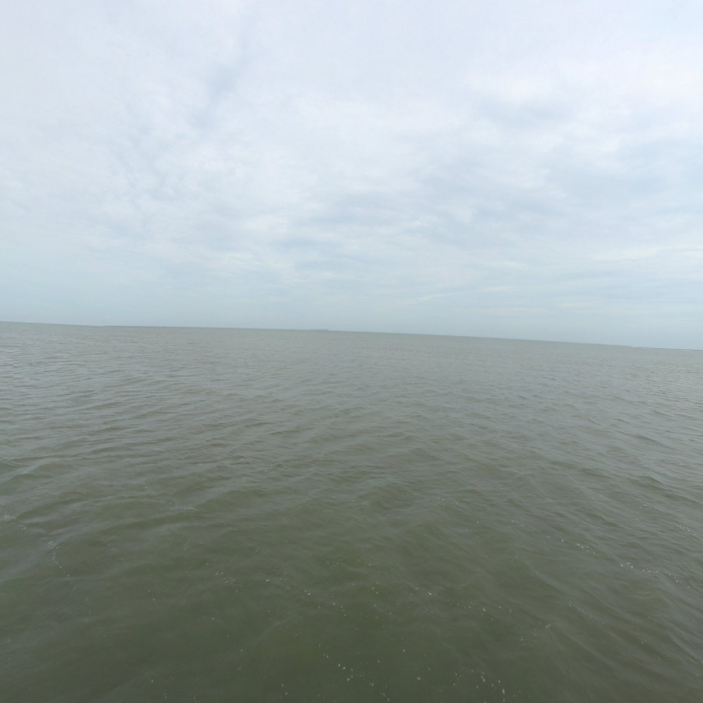
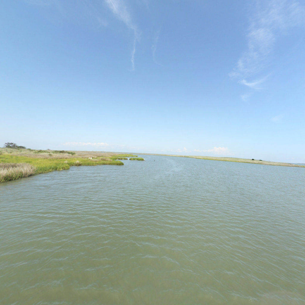
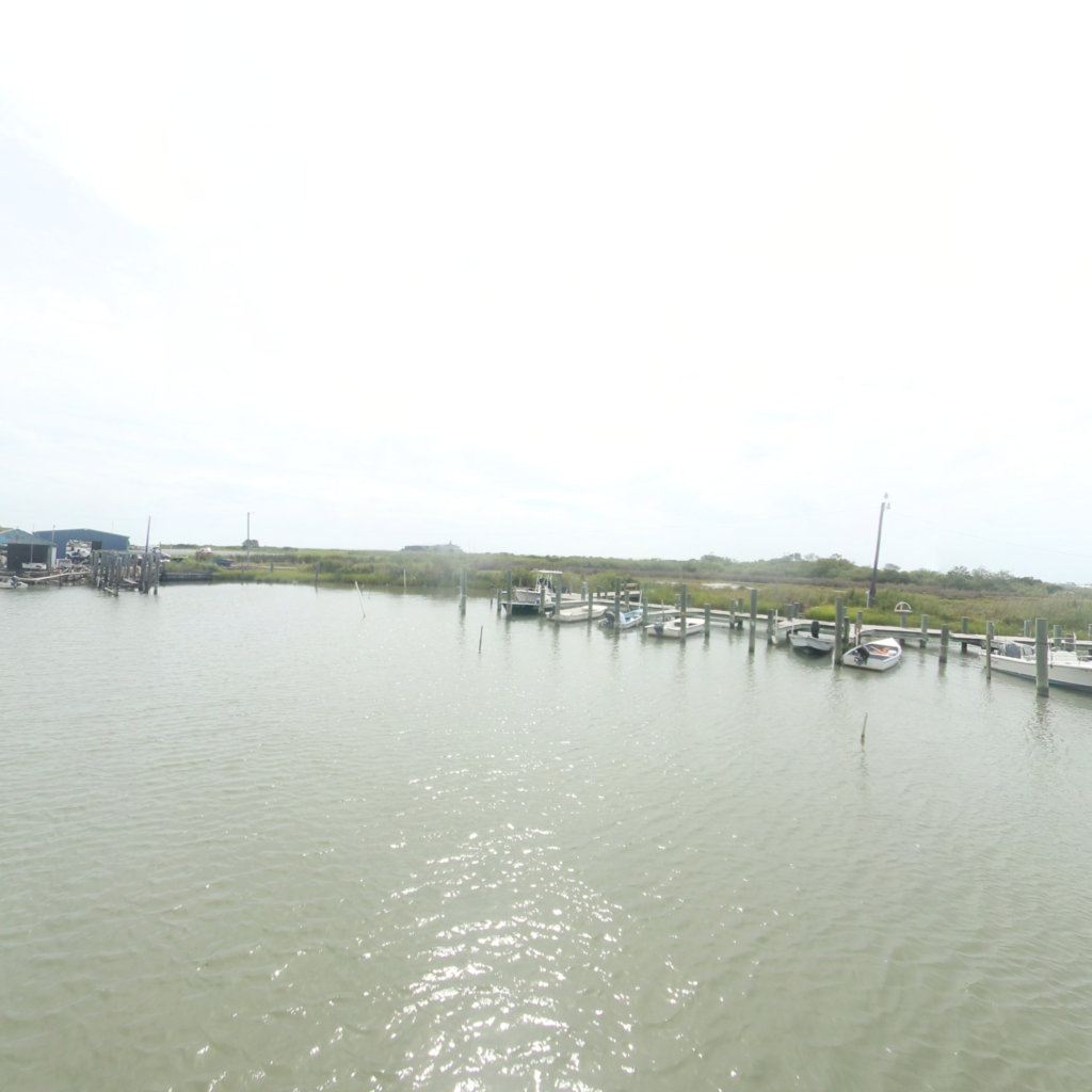
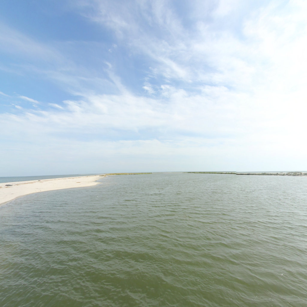
Click on any trail to explore in 360°
Chesapeake Conservancy
Jody Couser
info@chesapeakeconservancy.org
716 Giddings Avenue Suite 42
Annapolis, MD 21401
(443) 321 3610

Georeferenced 360° documentation for trails, rivers, and outdoor assets. Trusted by federal and state land managers.