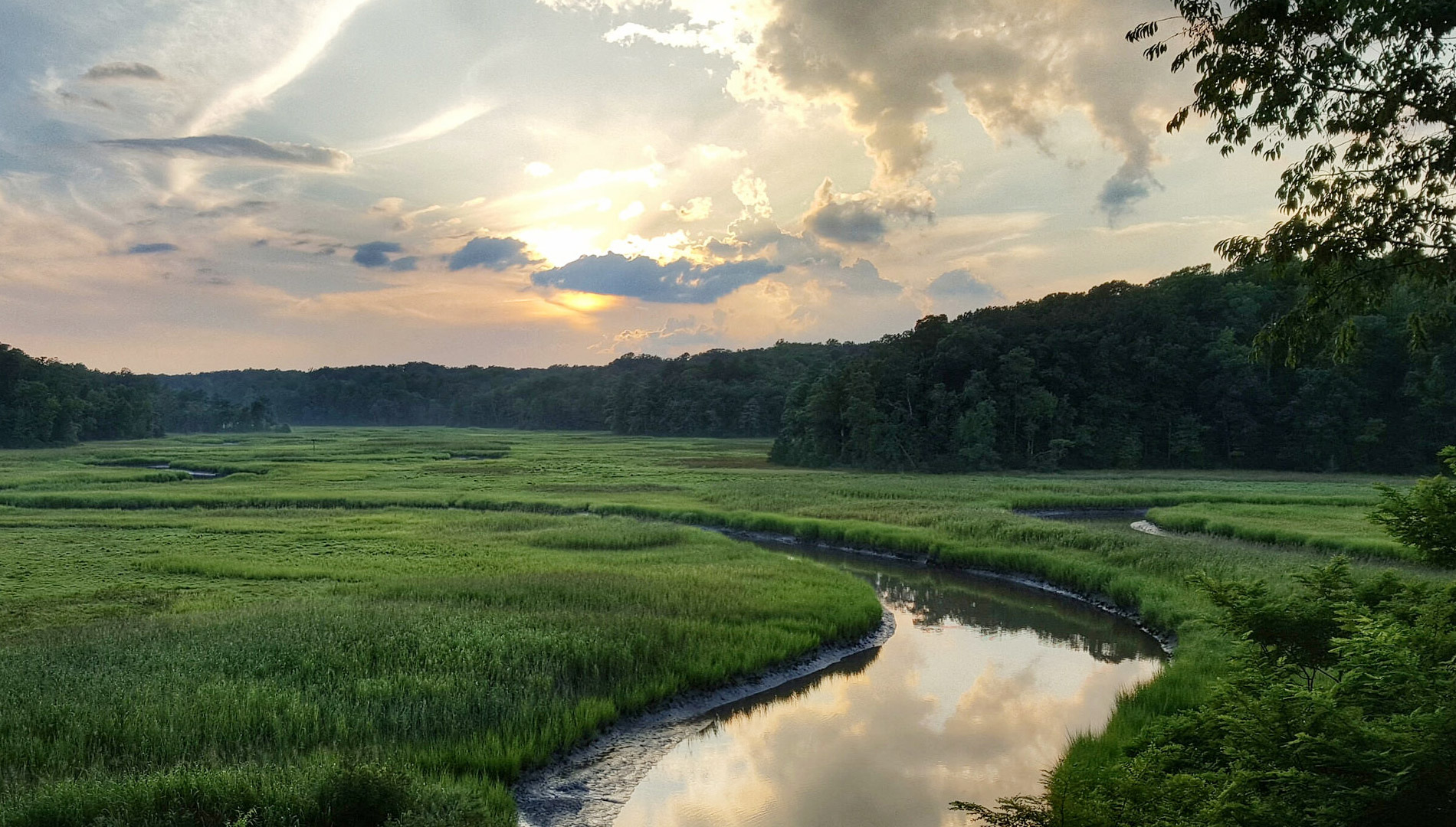
Located 11 miles west of Williamsburg, York River State Park offers visitors an opportunity to experience the environment of a coastal estuary. This park is known for its rare and delicate environment, where freshwater and saltwater meet to create a habitat rich in marine and plant life. The main focus of the park is to preserve a portion of York River frontage and its related marshes while providing an area for passive day-use recreation for visitors. York River State Park served as a role model for all of Virginia’s state parks in developing resource management plans. The pristine environment offers clues to a rich natural and cultural history and hosts fossil beds and Colonial and Native American artifacts. Programs, activities and visitor center displays focus on the history, use, wildlife and preservation of the York River and its marshes. More than 30 miles of hiking, mountain biking and equestrian trails allow visitors to explore the marsh, river shoreline and forests. A boat ramp, fresh and salt water fishing spots, a fishing pier, playgrounds, picnic shelters, and seasonal boat and recreational equipment rentals are available.
York River State Park takes its name from the river along its border, which is formed from the joining of the Pamunkey and Mattaponi rivers at West Point, 10 miles upriver from the park. Croaker Landing, found within the park, is an archaeological site included in the National Register of Historic Places.
Known in its early history as Taskinas Plantation, this was the site of a 17th and 18th century public tobacco warehouse where local planters stored their crops to be shipped to England. Remnants of wooden "corduroy" roads dating from this period can still be seen along Taskinas Creek at low tide. The park was opened in 1980 to preserve the unique environment and the land that was so significant to the early history of the state.
Source: Dcr.virginia.gov,
Stateparks.com/
Photo Credit: Bob Diller/ CC-BY-2.0 [CC BY 2.0 (
https://creativecommons.org/licenses/by/2.0/) via
Flicker