Explore
All Trails
All Maps
AI Assessment
AI Demo
Surprise Me!
Services
Use Cases
About
Contact
Latest Trails
Browse documented trails from federal, state, and conservation partners across the country.
Surprise Me!
Try:
Linden Mill Pond
,
Huron Valley Trail
,
National Mall
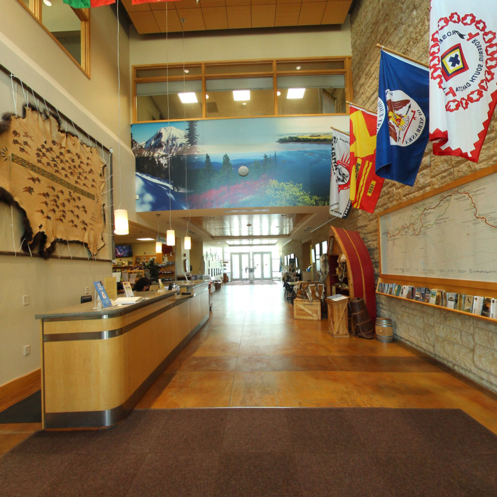
Lewis & Clark NPS Headquarters
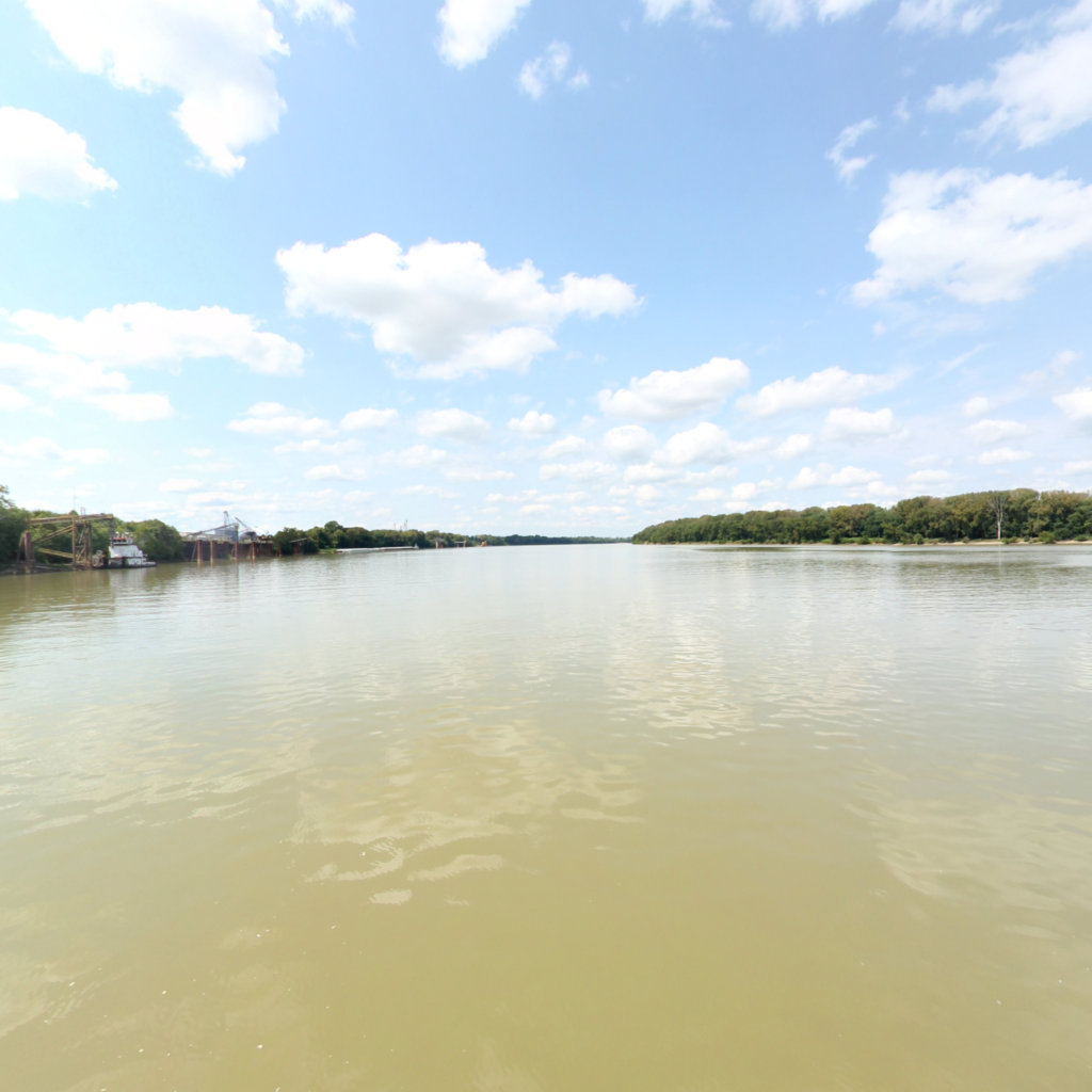
Lewis & Clark National Historic Trail
0 mi
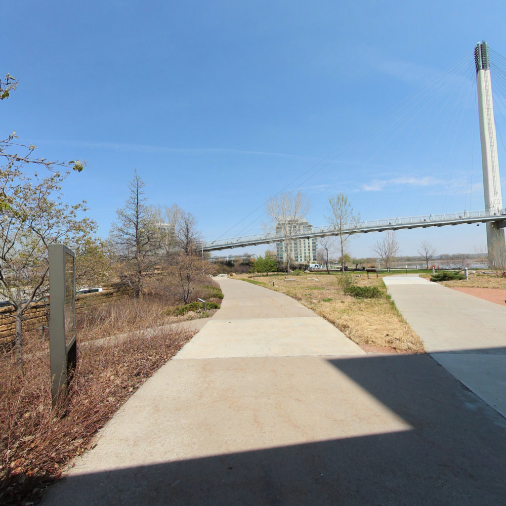
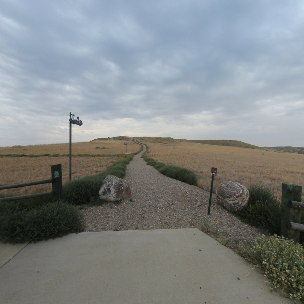
Lewis & Clark NPS Headquarters Courtyard
Lewis & Clark National Historic Trail
0.07 mi
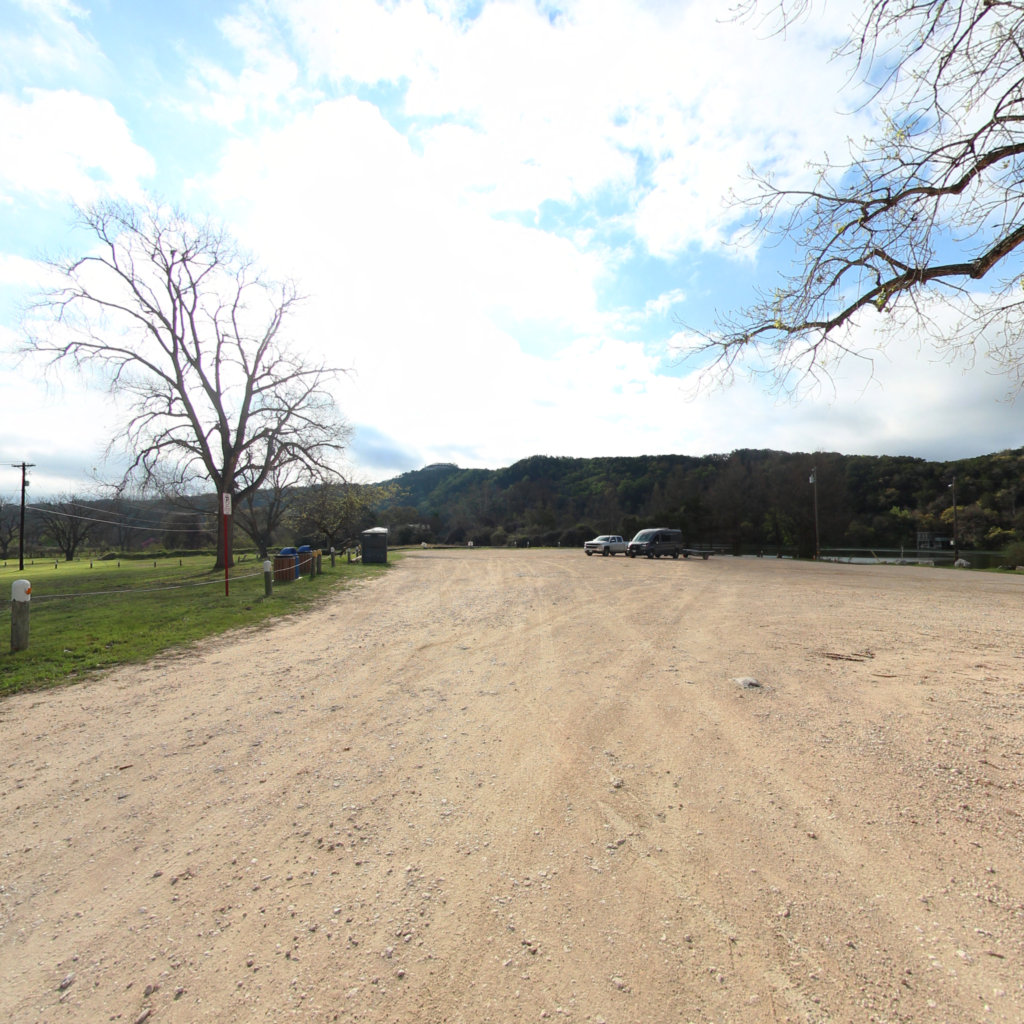
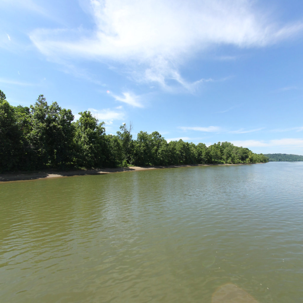
Emma Long Public Access 2
Lake Austin
0.04 mi
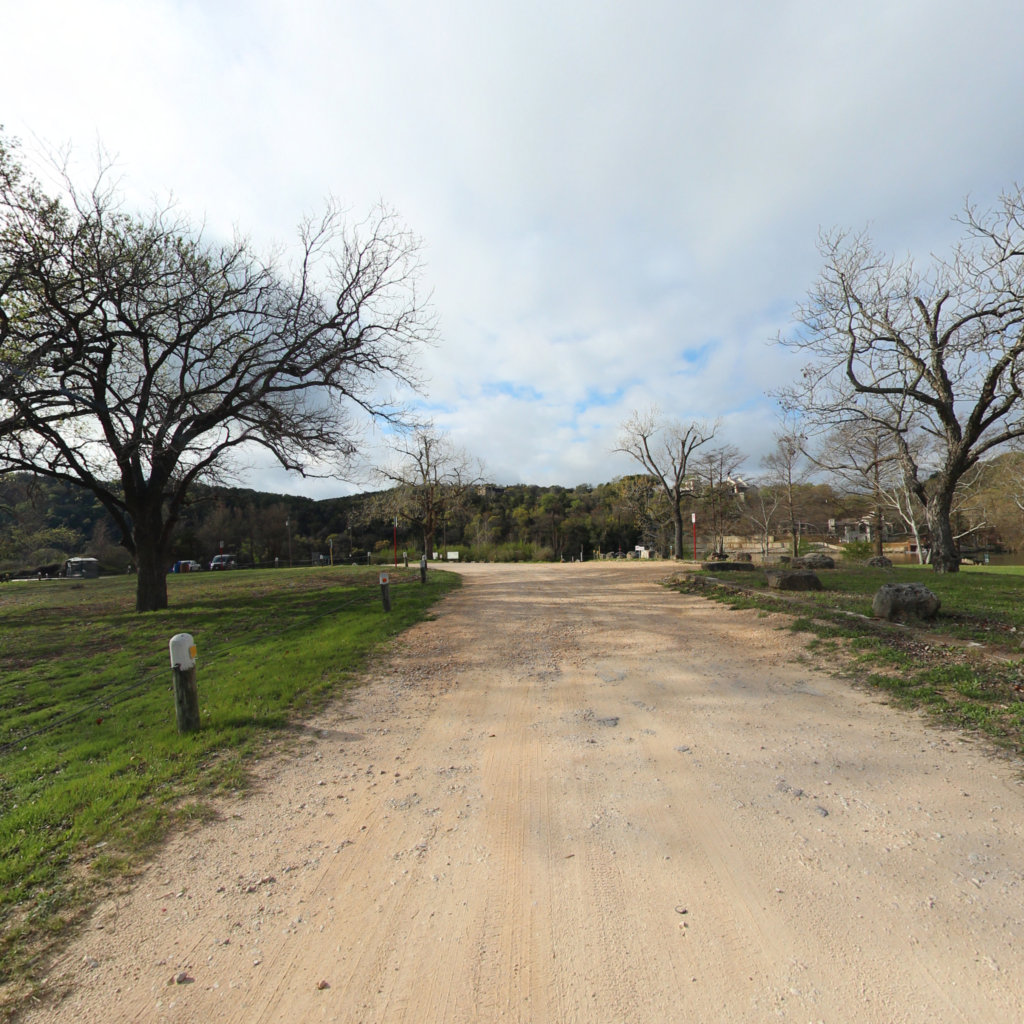
Emma Long Public Access
Lake Austin
0.02 mi
Walsh Landing Ramp 2
Lake Austin
0.09 mi
Walsh Landing Boat Ramp
Lake Austin
0.05 mi
Isla Blanca Park
0.63 mi
Channel View Road
0.43 mi
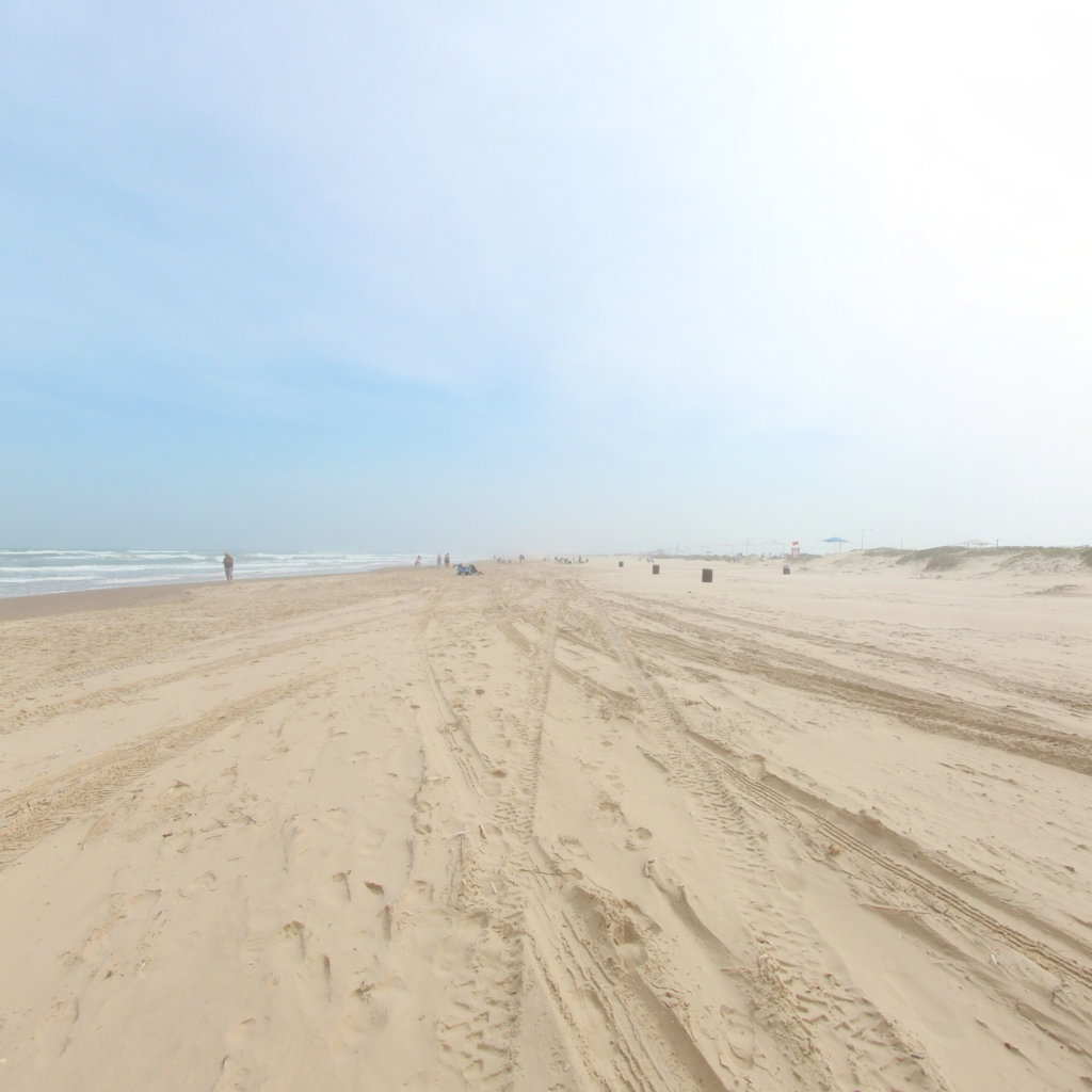
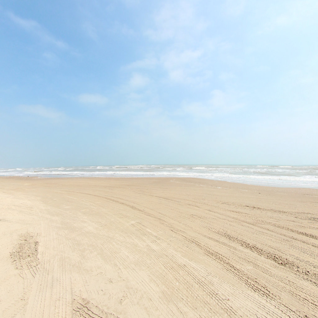
South Padre Island Beach
0.68 mi
Rio Grande Overlook
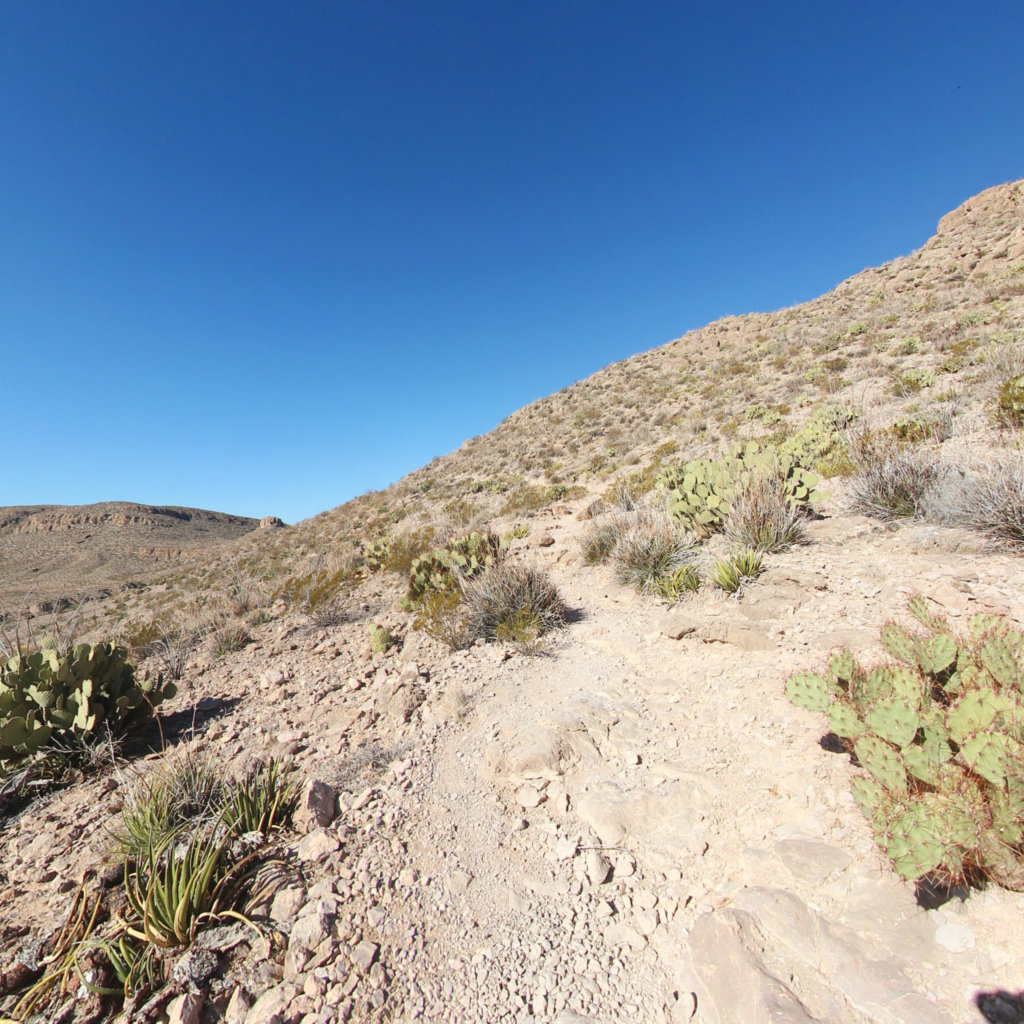
Big Bend National Park
0.05 mi
Rio Grande Village Nature Trail
Big Bend National Park
0.53 mi
Boquillas Canyon Overlook
Big Bend National Park
0.02 mi
Rio Grande Overlook Trail
Big Bend National Park
2.93 mi
Huguenot Flatwater to Ancarrows
James River
8.75 mi
Rio Grande Store
Big Bend National Park
0.02 mi
Rio Grande Village Visitor Center
Big Bend National Park
0.03 mi
Boca Chica Blvd
0.27 mi
Rio Grande Overlook
Big Bend National Park
0.1 mi
South Padre Island South Jetty
0.33 mi
South Padre Island North Jetty
0.48 mi
Boca Chica Beach
4.65 mi
Mary Quinlan Park Access
Lake Austin
0.15 mi
Boat Landing Park
Lake Austin
0.06 mi
Palmito Hill Battlefield
0.04 mi
Boquillas Canyon Trail
Big Bend National Park
0.69 mi
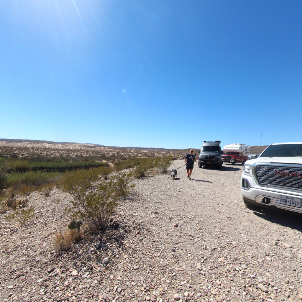
Rio Grande River Access
Big Bend National Park
0.07 mi
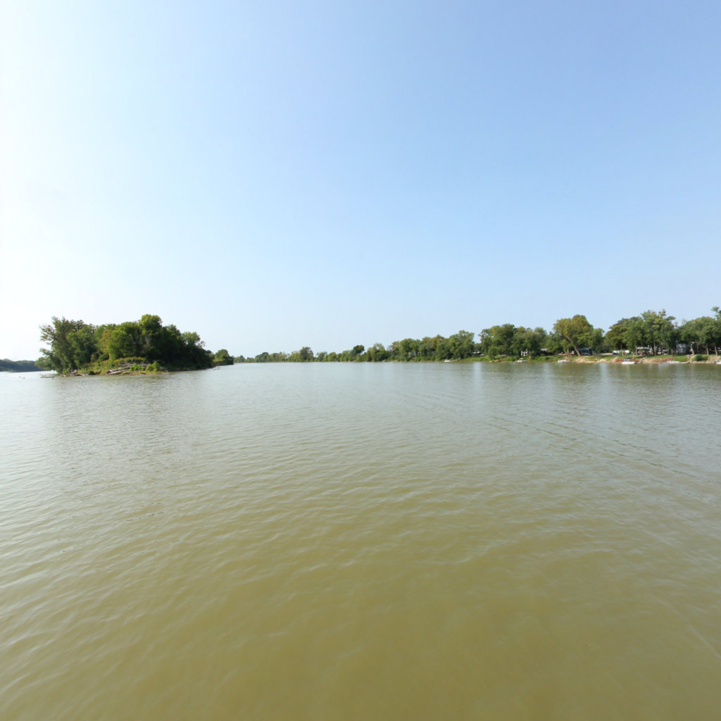
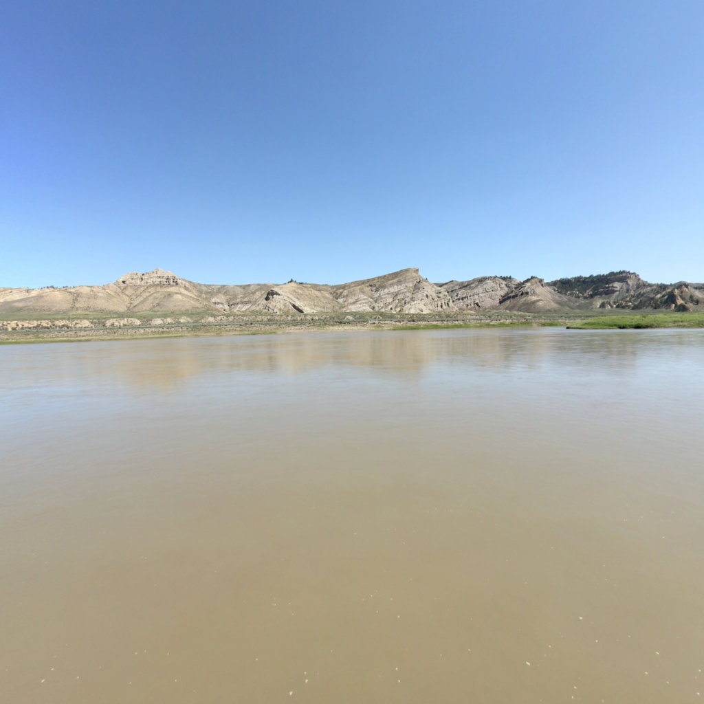
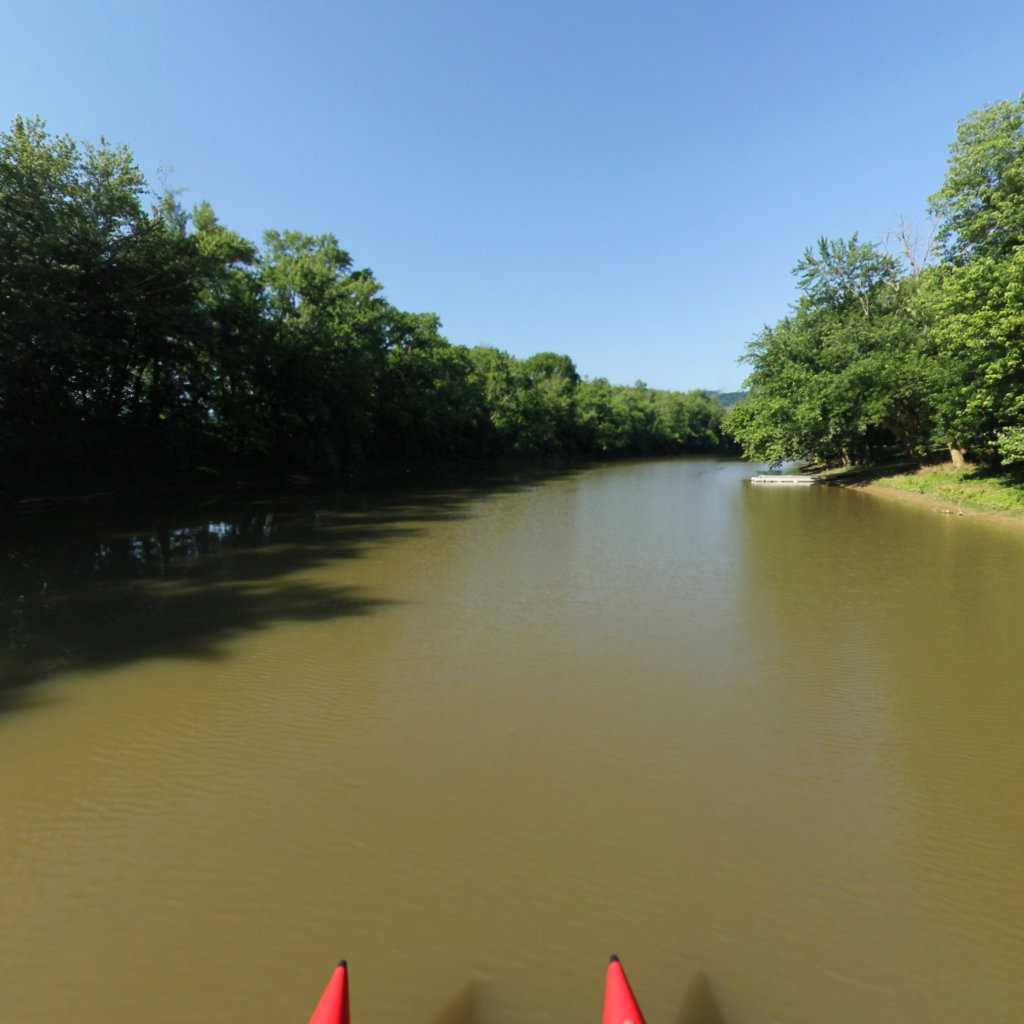
Rio Grande River
7.17 mi
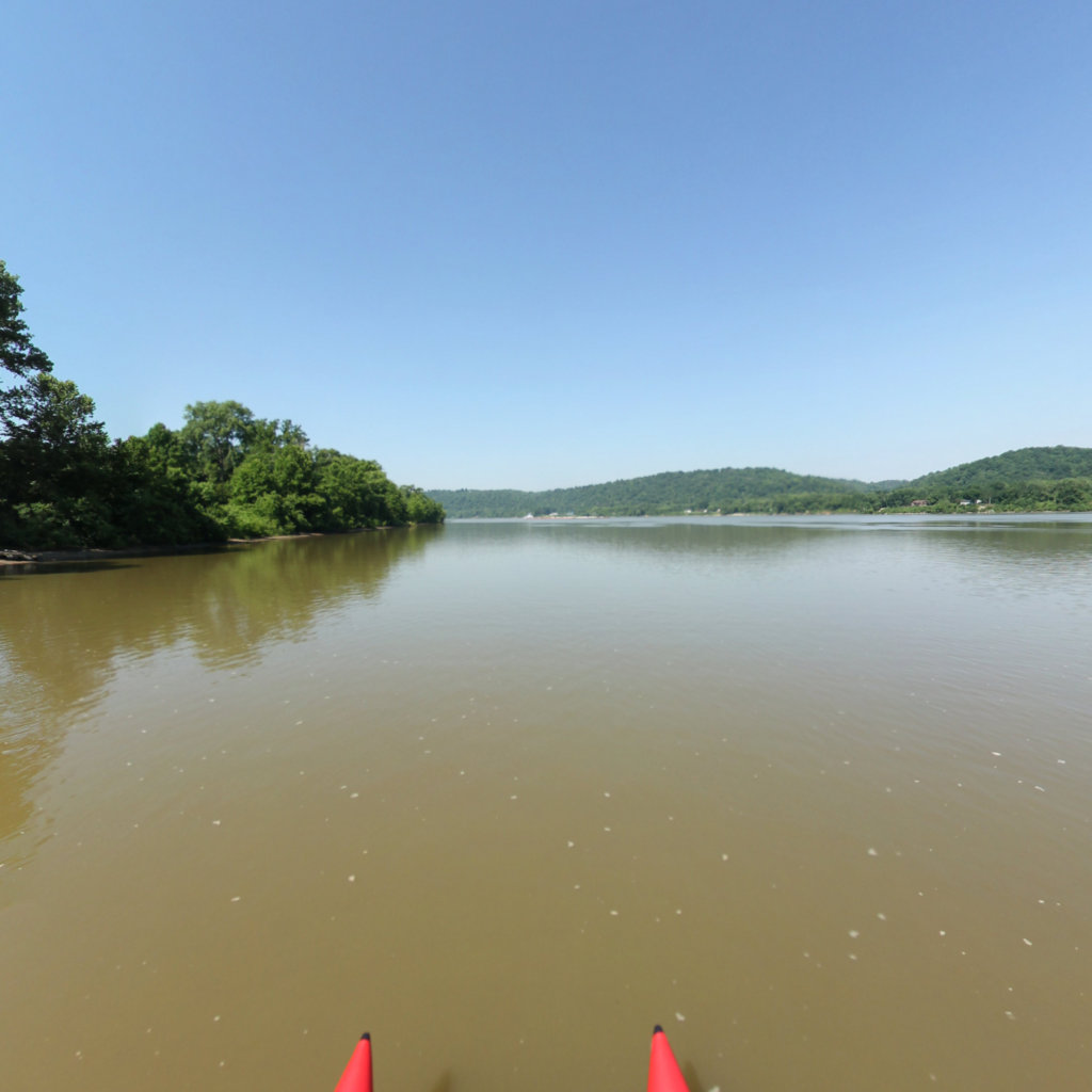
Lake Austin
Lake Austin
41.5 mi
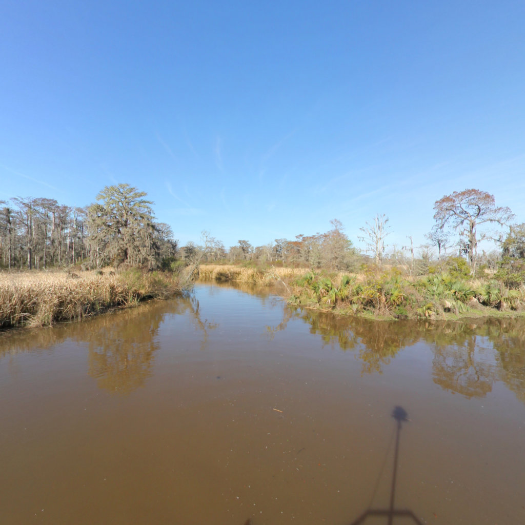
Altamaha River Park
Altamaha River
0.83 mi
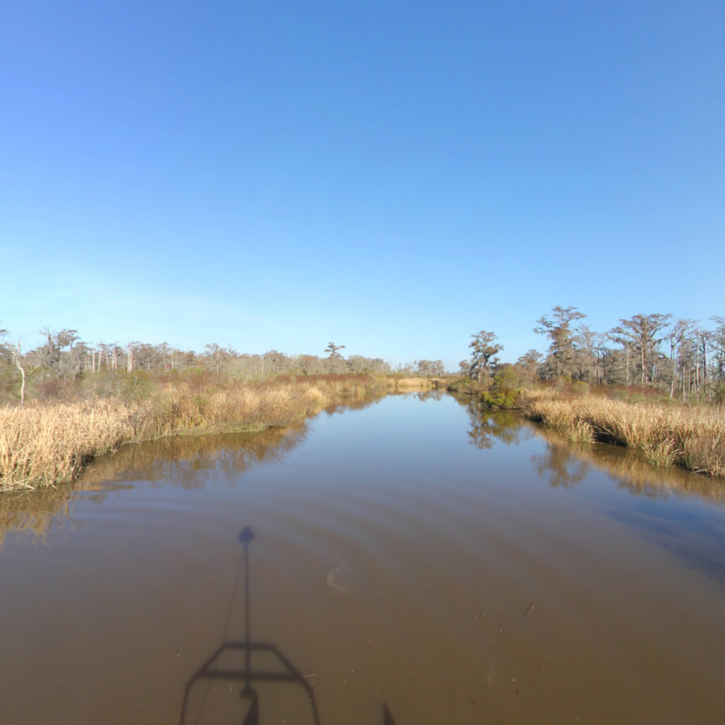
Altamaha Regional Park Landing to Rifle Cut
Altamaha River
10.85 mi
Oglethorpe Bluff Landing - Altamaha regional Park Landing
Altamaha River
43.5 mi
County Rd 462 to Osteen Branch
Altamaha River
25.13 mi
Tatnall County Landing (L#16) - Oglethorpe Bluff Landing
Altamaha River
25.28 mi
Altamaha River
Altamaha River
10.68 mi
Ocmulgee River/Hinson's Landing to Confluence
Altamaha River
4.28 mi
Darien River to Butler River Cut
Altamaha River
0.45 mi
Darien River
Altamaha River
4.5 mi
Cathead Creek Loop
Altamaha River
1.1 mi
Rifle Cut North to Cathead Creek Loop
Altamaha River
0.76 mi
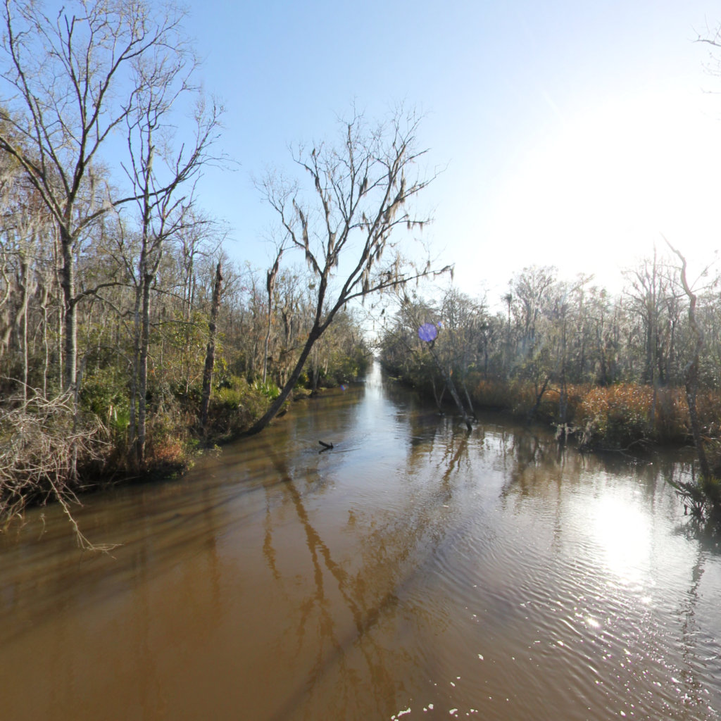
Rifle Cut
Altamaha River
0.96 mi
Mount Vernon to Wabash Island
Lewis & Clark National Historic Trail
19.81 mi
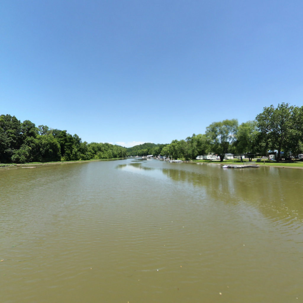
Scottsville to Cartersville 2022
James River
13.55 mi
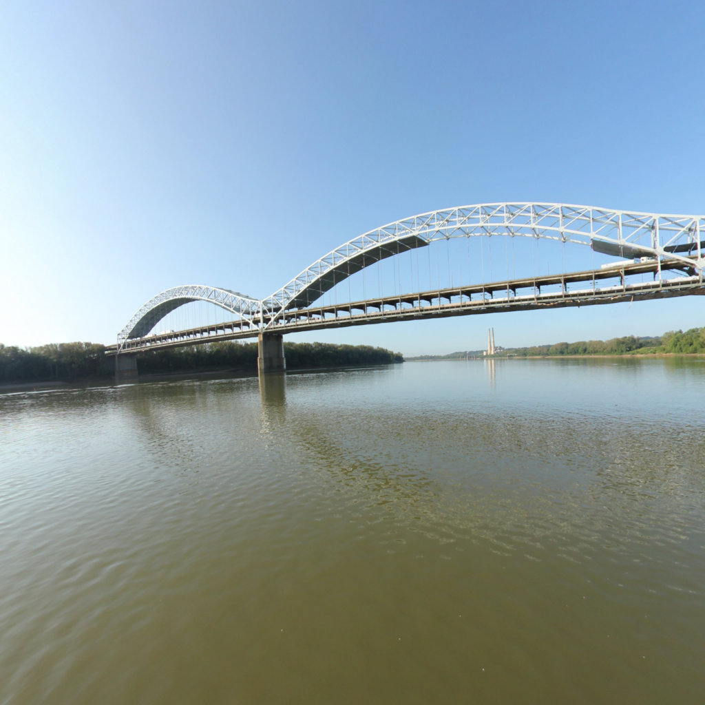
West Point to Hawesville
Ohio River
75.74 mi
Owensboro Island
Lewis & Clark National Historic Trail
4.65 mi
Scuffletown
Lewis & Clark National Historic Trail
20.7 mi
West Point
Lewis & Clark National Historic Trail
30.4 mi
Owensboro
Lewis & Clark National Historic Trail
29.8 mi
Evansville to Henderson
Ohio River
27.7 mi
Henderson
Lewis & Clark National Historic Trail
1.91 mi
Hawesville
Ohio River
11.2 mi
Little Hurricane Island
Lewis & Clark National Historic Trail
4.96 mi
Deadman's Island
Lewis & Clark National Historic Trail
2.97 mi
Henderson Island
Lewis & Clark National Historic Trail
3.05 mi
Deadman's Island to Henderson Island
Lewis & Clark National Historic Trail
17.84 mi
French Island Number 2
Lewis & Clark National Historic Trail
5.53 mi
French Island Number 1
Lewis & Clark National Historic Trail
3.73 mi
Ellis Island
Lewis & Clark National Historic Trail
0.94 mi
Anderson Island
Lewis & Clark National Historic Trail
1.59 mi
Old Dam 49 Access
Lewis & Clark National Historic Trail
0.05 mi
Fort Duffield
Ohio River
0.09 mi
Fort Duffield Access
Ohio River
0.02 mi
West Point Boat Access
Ohio River
0.08 mi
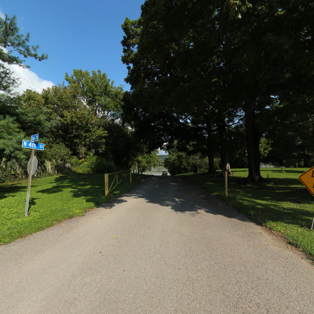
West Point - Elm Street
Ohio River
0 mi
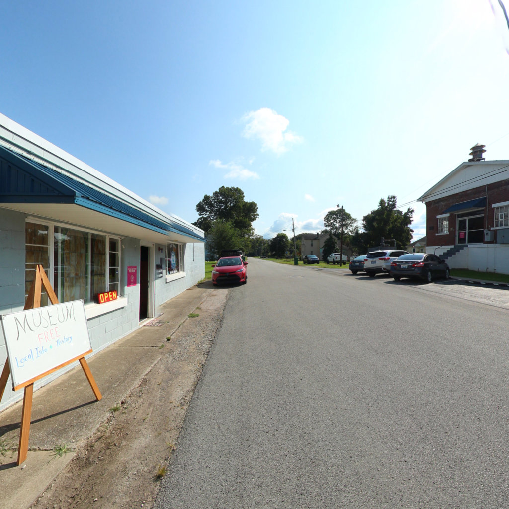
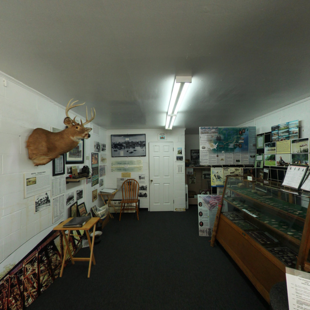
West Point Museum
Lewis & Clark National Historic Trail
0.01 mi
Portage Camp Overlook
Missouri River
0.07 mi
Travelers Rest State Park
Lewis & Clark National Historic Trail
0.35 mi
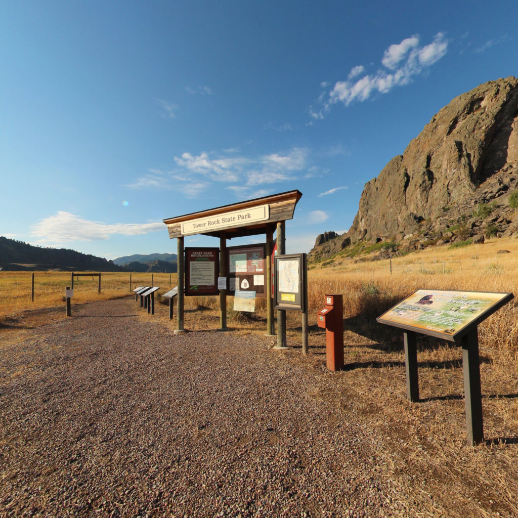
Tower Rock Trail
Missouri River
0.49 mi
Morony Dam Trail
Lewis & Clark National Historic Trail
0.21 mi
South Shore Trail
Lewis & Clark National Historic Trail
0.54 mi
Ryan Dam
Lewis & Clark National Historic Trail
0.03 mi
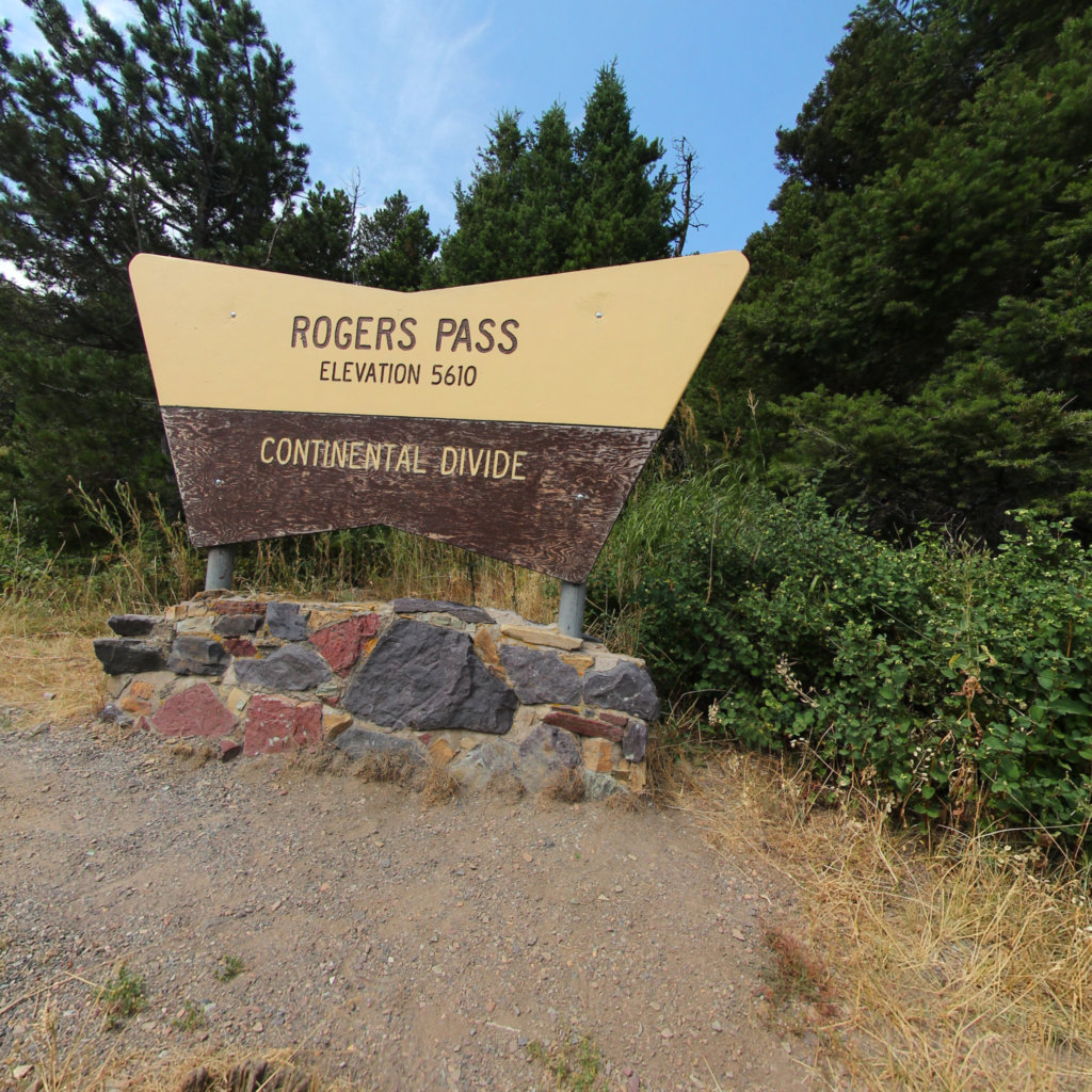
Rodgers Pass
Lewis & Clark National Historic Trail
0.52 mi
Rivers Edge Trail
Missouri River
0.21 mi
Rainbow Falls dam
Lewis & Clark National Historic Trail
0.13 mi
Hauser Hiking Trail
Lewis & Clark National Historic Trail
0.61 mi
Lewis & Clark Pass
Lewis & Clark National Historic Trail
1.02 mi
Juniper Bay
Lewis & Clark National Historic Trail
0.45 mi
Explorers at Portage
Lewis & Clark National Historic Trail
0.03 mi
Decision Point
Lewis & Clark National Historic Trail
0.19 mi
Buffalo Jump
Lewis & Clark National Historic Trail
0.17 mi
Blue Mountain
Lewis & Clark National Historic Trail
1.08 mi
Antelope Wilderness to James Kipp Landing
Lewis & Clark National Historic Trail
13.6 mi
Woodhawk Wilderness to Antelope Wilderness
Lewis & Clark National Historic Trail
16.02 mi
Judith Landing to Woodhawk Wilderness
Lewis & Clark National Historic Trail
31.34 mi
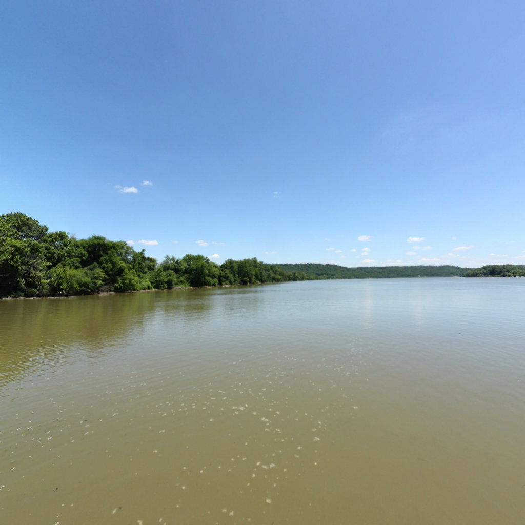
Lawrenceburg to Warsaw
Lewis & Clark National Historic Trail
28.27 mi
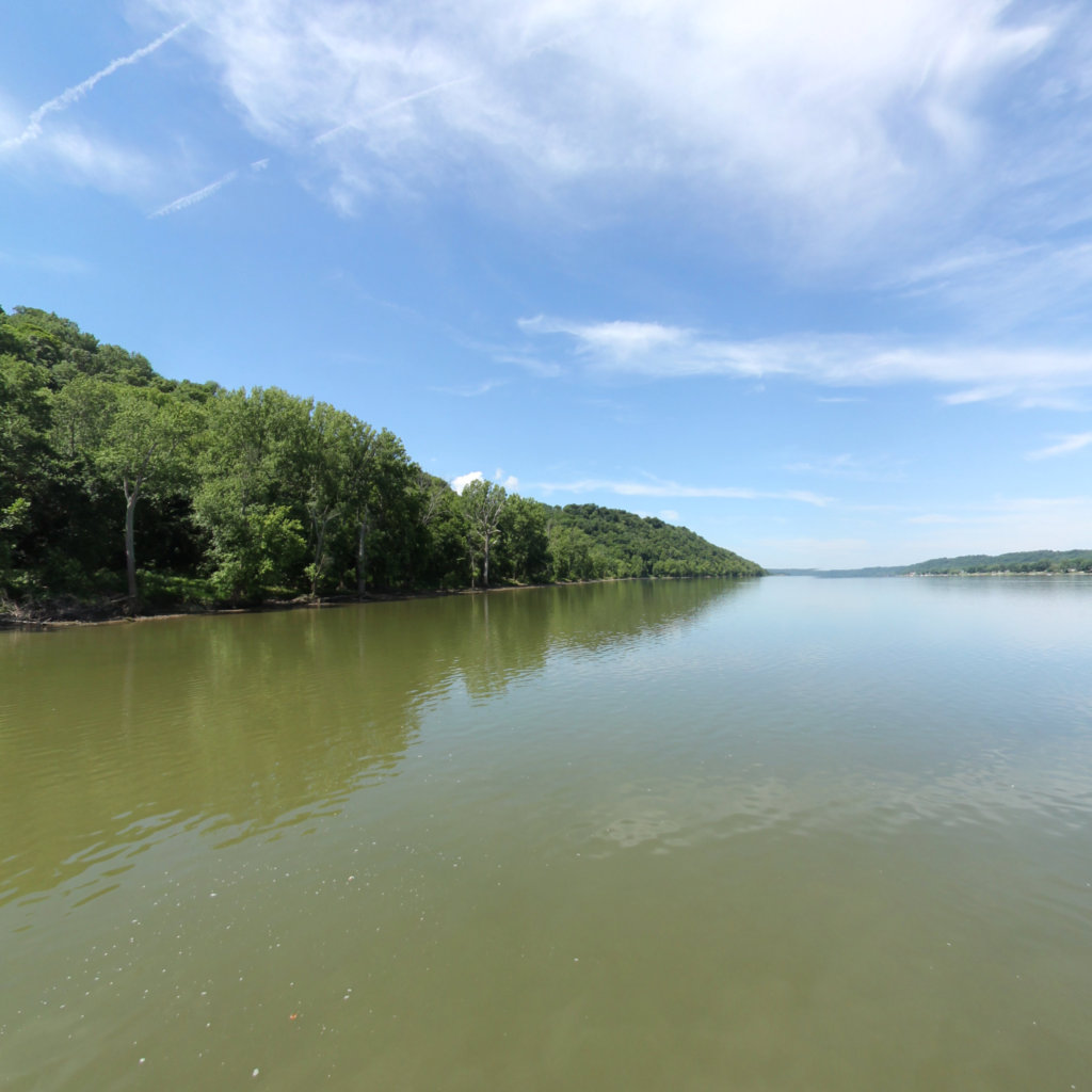
Cincinnati to Lawrenceburg
Lewis & Clark National Historic Trail
23.03 mi
Chilo Dam to Cincinnati OH
Lewis & Clark National Historic Trail
23.14 mi
Portsmouth to Vanceburg
Lewis & Clark National Historic Trail
16.29 mi
New Boston OH
Lewis & Clark National Historic Trail
15.83 mi
Madison IN to Manchester Island
Lewis & Clark National Historic Trail
24.02 mi
Vevay IN to Madison IN
Lewis & Clark National Historic Trail
21.96 mi
Vanceburg KY
Lewis & Clark National Historic Trail
13.94 mi
Stoney Point to Chilo Lock
Lewis & Clark National Historic Trail
15.45 mi
Maysville to Stoney Point
Lewis & Clark National Historic Trail
14.63 mi
Jeffersonville OH
Lewis & Clark National Historic Trail
4.64 mi
Gunpowder Creek to Markland Dam
Lewis & Clark National Historic Trail
19.27 mi
Gunpowder Creek
Lewis & Clark National Historic Trail
1.21 mi
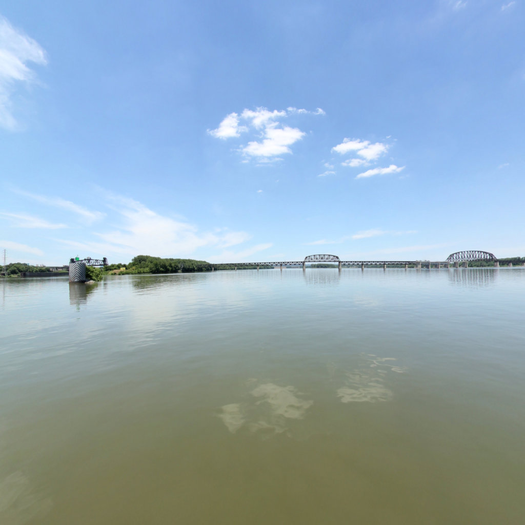
18 Mile to Louisville KY
Lewis & Clark National Historic Trail
22.11 mi
18 Mile Island
Ohio River
1.13 mi
Manchester to Maysville KY
Lewis & Clark National Historic Trail
9.16 mi
Manchester Island
Lewis & Clark National Historic Trail
10.03 mi
Loading more trails...